
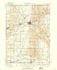
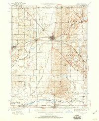
1932 Map of Harvard
USGS Topo · Published 1932About this map
Harvard serves as the central hub of this 1932 survey, where the Chicago and Northwestern rail lines intersect amidst a dense landscape of rural school districts and family farms. The map documents a transition in regional transit, noting the Chicago and Northwestern Electric (Abandoned) line running south toward Marengo. This area of McHenry and Boone Counties is defined by its watercourses, specifically the Piscacasaw Creek and the Kishwaukee River, which shaped the placement of early settlements like Chemung and Lawrence.
Find a feature on this map
86 named features on this map. Tap any name to fly to it.
Don’t see what you’re looking for? This feature index may not catch every label — zoom into the map to look around manually.
Map Details
Editions of this 1932 Harvard Map
3 editions found
Other maps of this area

1893 · Delavan
USGS Topo · 1:62,500

1893 · Shopiere
USGS Topo · 1:62,500

1893 · Geneva
USGS Topo · 1:62,500

1904 · Lake Geneva
USGS Topo · 1:62,500

1906 · Lake Geneva
USGS Topo · 1:62,500

1918 · Belvidere
USGS Topo · 1:62,500

1918 · Kirkland
USGS Topo · 1:62,500

1925 · Elgin
USGS Topo · 1:62,500

1926 · Mc Henry
USGS Topo · 1:62,500

1937 · Harvard
USGS Topo · 1:62,500