Loading...
Loading map...1932 Map of Harvard
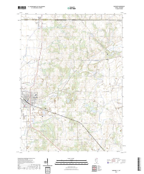
USGS Topo · Published 1958About this map
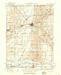
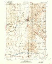
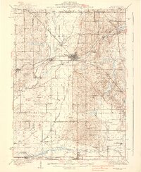
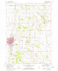
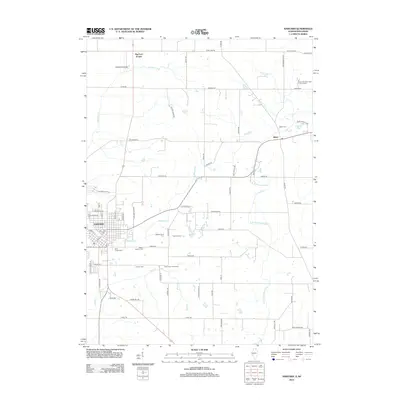
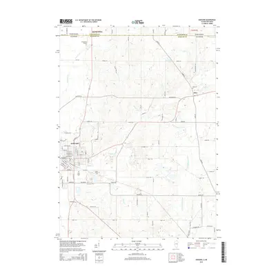
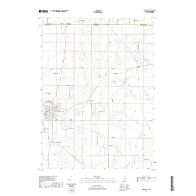
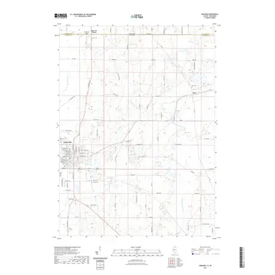
The railroad junction at Harvard serves as the focal point of this 1932 landscape, where the Chicago and Northwestern lines diverge across the Illinois-Wisconsin border. This agricultural region is defined by a dense network of local district schools, such as State Line Sch, Bordwell Sch, and Kingsley Sch, reflecting the decentralized rural society of the early 20th century. To the south, the city of Marengo sits along the Kishwaukee River, while the Chicago Electric line runs parallel to the rail corridor.
Find a feature on this map
76 named features on this map. Tap any name to fly to it.
Don’t see what you’re looking for? This feature index may not catch every label — zoom into the map to look around manually.
Map Details
Date Portrayed1932
Date Published1958
PublisherU.S. Geological Survey
Map TypeTopographic
Scale1:62,500
Physical Dimensions16.9 x 20.8 inches
Editions of this 1932 Harvard Map
3 editions found

Historical Maps of Harvard Through Time
8 maps found
Featured Locations
Source Details
SourceU.S. Geological Survey
CopyrightPublic Domain