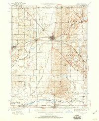
1932 Map of Harvard
USGS Topo · Published 1959About this map
Harvard serves as the central hub of this northern Illinois landscape, where the Chicago And Northwestern railroad lines converge and branch toward Alden and Capron. The 1930s rural economy is meticulously documented through a dense network of country schools, including the Burr Oak Sch, White Oak Sch, and Kingsley Sch, which dot the townships of Chemung, Dunham, and Hartland. To the south, the Kishwaukee River and its branches wind past Marengo and Garden Prairie, defining the drainage of the fertile prairie lands. Genealogists will find significant value in the detailed placement of local burial grounds such as Mt Auburn Cem and Oakwood Cem, while the presence of the Chicago And Northwestern (Abandoned) line near the river reveals early changes in the region's rail infrastructure during the Great Depression era.
Find a feature on this map
63 named features on this map. Tap any name to fly to it.
Don’t see what you’re looking for? This feature index may not catch every label — zoom into the map to look around manually.
Map Details
Editions of this 1932 Harvard Map
3 editions found
Other maps of this area

1893 · Delavan
USGS Topo · 1:62,500

1893 · Shopiere
USGS Topo · 1:62,500

1893 · Geneva
USGS Topo · 1:62,500

1904 · Lake Geneva
USGS Topo · 1:62,500

1906 · Lake Geneva
USGS Topo · 1:62,500

1918 · Belvidere
USGS Topo · 1:62,500

1918 · Kirkland
USGS Topo · 1:62,500

1925 · Elgin
USGS Topo · 1:62,500

1926 · Mc Henry
USGS Topo · 1:62,500

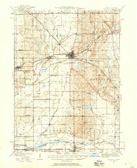
1932 · Harvard
USGS Topo · 1:48,000