
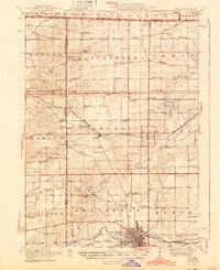
1944 Map of Belvidere
USGS Topo · Published 1944About this map
The Kishwaukee River corridor and the industrial town of Belvidere define the southern portion of this 1944 edition. Surveyed in 1917 with cultural revisions through 1942, the map shows the expansion of the Chicago and Northwestern railroad lines, which linked agricultural hubs like Poplar Grove and Caledonia to larger markets. The landscape is dense with community infrastructure from a previous generation, featuring an extraordinary concentration of rural schoolhouses such as Red Brick School and the uniquely named Quailtrap School.
Find a feature on this map
80 named features on this map. Tap any name to fly to it.
Don’t see what you’re looking for? This feature index may not catch every label — zoom into the map to look around manually.
Map Details
Editions of this 1944 Belvidere Map
2 editions found
Other maps of this area

1891 · Janesville
USGS Topo · 1:62,500

1893 · Delavan
USGS Topo · 1:62,500

1893 · Janesville
USGS Topo · 1:62,500

1893 · Shopiere
USGS Topo · 1:62,500

1917 · Kings
USGS Topo · 1:62,500

1918 · Rockford
USGS Topo · 1:62,500

1918 · Belvidere
USGS Topo · 1:62,500

1918 · Kings
USGS Topo · 1:62,500

1918 · Kirkland
USGS Topo · 1:62,500

1932 · Harvard
USGS Topo · 1:48,000