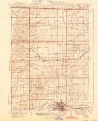
1944 Map of Belvidere
USGS Topo · Published 1944About this map
The Kishwaukee River flows through the industrial and agricultural hub of Belvidere, anchoring a landscape defined by 1940s Midwestern development and a dense network of rural infrastructure. The area is characterized by an exceptional concentration of country schools, such as the Red Brick School, Fish School, and Quailtrap School, reflecting the decentralized educational system of the early 20th century.
Find a feature on this map
85 named features on this map. Tap any name to fly to it.
Don’t see what you’re looking for? This feature index may not catch every label — zoom into the map to look around manually.
Map Details
Editions of this 1944 Belvidere Map
2 editions found

Other maps of this area

1891 · Janesville
USGS Topo · 1:62,500

1893 · Delavan
USGS Topo · 1:62,500

1893 · Janesville
USGS Topo · 1:62,500

1893 · Shopiere
USGS Topo · 1:62,500

1917 · Kings
USGS Topo · 1:62,500

1918 · Rockford
USGS Topo · 1:62,500

1918 · Belvidere
USGS Topo · 1:62,500

1918 · Kings
USGS Topo · 1:62,500

1918 · Kirkland
USGS Topo · 1:62,500

1932 · Harvard
USGS Topo · 1:48,000