2000s (21st Century) Maps of Erin, Wisconsin
Explore 20 historic maps of Erin from the 2000s (21st Century). These maps offer a rare glimpse into what life looked like during the 2000s — showing old roads, neighborhoods, homes, and landmarks that have changed or disappeared over time.
Whether you're researching your family's past, planning a metal detecting trip, or studying how Erin's landscape evolved across the 2000s, these high-resolution maps are a powerful tool for exploring the history of this region.
- Focus on a specific era: All maps on this page are from the 2000s, giving you a focused view of this time period.
- See what’s changed: Compare century-old streets, trails, and buildings to today's modern landscape using overlays and satellite layers.
- Research with precision: Use these maps for genealogy, historical research, land use analysis, or educational projects.
- View, download, or print: Maps are fully viewable online in high resolution, and can be downloaded or printed for your own records.
Start exploring Erin's history through authentic maps from the 2000s. This is your window into the past.
Erin, WI maps
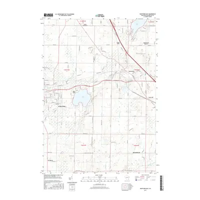
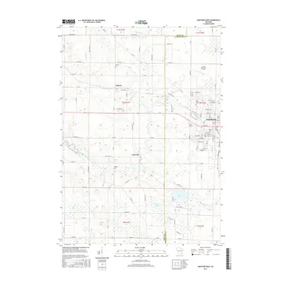
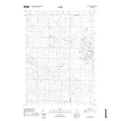
(20)- 2010 Map of Hartford West, 2010 Print
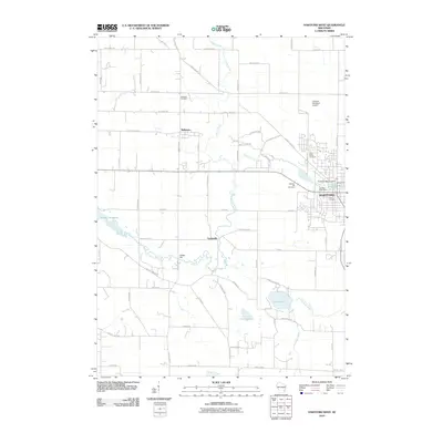 2010 Hartford West2010 Print · USGSCovers Erin, including Hartford, Addison, and other nearby areas
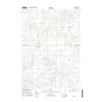
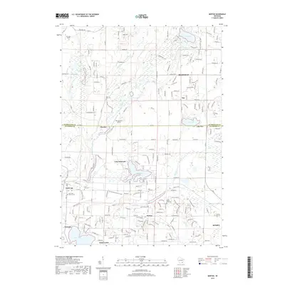
 - 2010 Map of Merton, 2010 Print
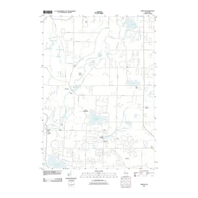 2010 Merton2010 Print · USGSCovers Erin, including Richfield, Sussex, and other nearby areas
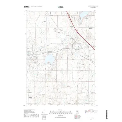
 - 2010 Map of Hartford East, 2010 Print
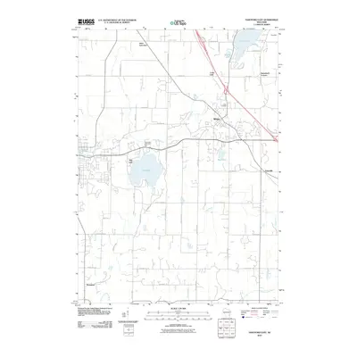 2010 Hartford East2010 Print · USGSCovers Erin, including Hartford, Richfield, and other nearby areas
 - 2010 Map of Stonebank, 2010 Print
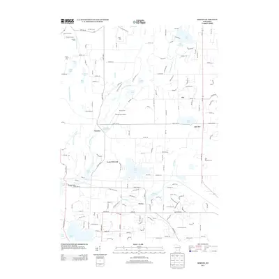
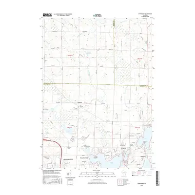
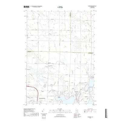
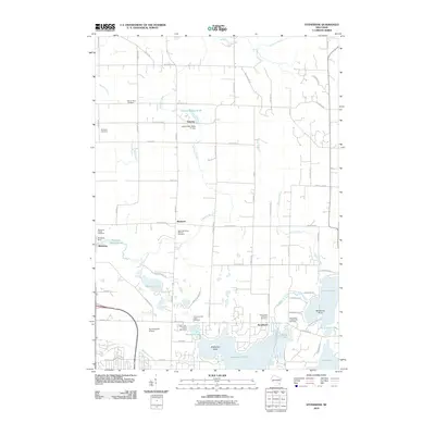 2010 Stonebank2010 Print · USGSCovers Erin, including Oconomowoc, Merton, and other nearby areas
 - 2013 Map of Merton, 2013 Print
 2013 Merton2013 Print · USGSCovers Erin, including Richfield, Sussex, and other nearby areas
 - 2013 Map of Hartford West, 2013 Print
 2013 Hartford West2013 Print · USGSCovers Erin, including Hartford, Addison, and other nearby areas
 - 2013 Map of Hartford East, 2013 Print
 2013 Hartford East2013 Print · USGSCovers Erin, including Hartford, Richfield, and other nearby areas
 - 2013 Map of Stonebank, 2013 Print
 2013 Stonebank2013 Print · USGSCovers Erin, including Oconomowoc, Merton, and other nearby areas
 - 2015 Map of Hartford East, 2015 Print
 2015 Hartford East2015 Print · USGSCovers Erin, including Hartford, Richfield, and other nearby areas
 - 2015 Map of Stonebank, 2015 Print
 2015 Stonebank2015 Print · USGSCovers Erin, including Oconomowoc, Merton, and other nearby areas
 - 2015 Map of Merton, 2015 Print
 2015 Merton2015 Print · USGSCovers Erin, including Richfield, Sussex, and other nearby areas
 - 2015 Map of Hartford West, 2015 Print
 2015 Hartford West2015 Print · USGSCovers Erin, including Hartford, Addison, and other nearby areas
 - 2018 Map of Hartford West, 2018 Print
 2018 Hartford West2018 Print · USGSCovers Erin, including Hartford, Addison, and other nearby areas
 - 2018 Map of Stonebank, 2018 Print
 2018 Stonebank2018 Print · USGSCovers Erin, including Oconomowoc, Merton, and other nearby areas
 - 2018 Map of Merton, 2018 Print
 2018 Merton2018 Print · USGSCovers Erin, including Richfield, Sussex, and other nearby areas
 - 2018 Map of Hartford East, 2018 Print
 2018 Hartford East2018 Print · USGSCovers Erin, including Hartford, Richfield, and other nearby areas
 - 2022 Map of Hartford East, 2022 Print
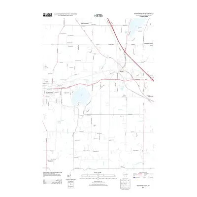
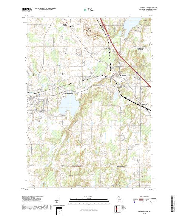 2022 Hartford East2022 Print · USGSThe glacial landscapes of Washington County are captured here in a modern era, showing the transition from lakeside retreats to established towns. Genealogists can locate family sites near Saint Lawrence Cem, Ackerville, and Old Saint Peter Cem.
 - 2022 Map of Hartford West, 2022 Print
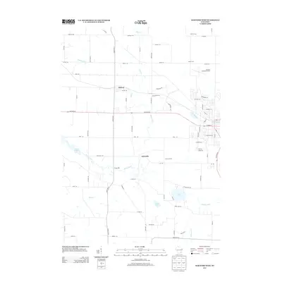
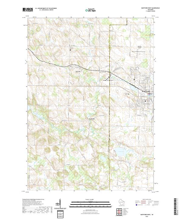 2022 Hartford West2022 Print · USGSEastern Dodge County is captured here in the early twenty-first century as agricultural lands meet the growing town of Hartford. Researchers can trace local lineage through Hallowell Farm Cem or explore the shores of Druid Lake and the Rubicon River.
 - 2022 Map of Merton, 2022 Print
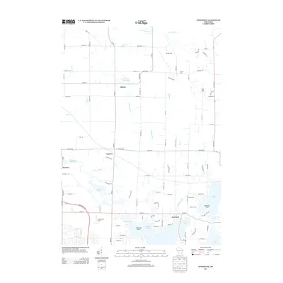
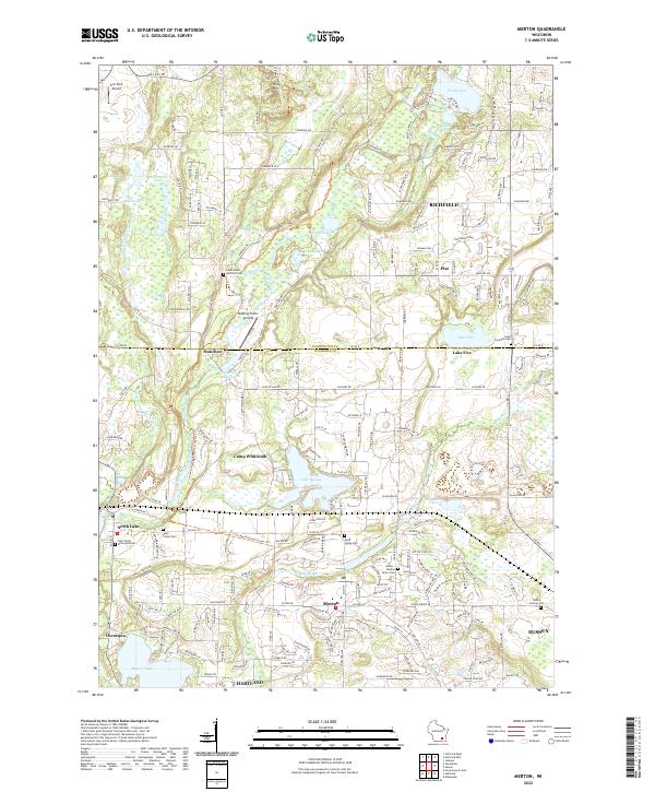 2022 Merton2022 Print · USGSWaukesha County's kettle moraine landscape is shown here in the early 2020s, featuring the interconnected river systems and lakes of Merton and Richfield. Researchers can trace local heritage through the Ice Age National Scenic Trail and sites like Saint Columba Cem and Monches Millpond 38.
 - 2022 Map of Stonebank, 2022 Print
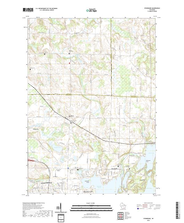 2022 Stonebank2022 Print · USGSWaukesha County's lake country is captured here in the early twenty-first century, showing the established communities of Stonebank and Chenequa. Researchers can trace local history through numerous sites like Saint Catherines Catholic Cem, Alderley Millpond, and Oconomowoc Airport.
End of results
Showing maps 1-20 of 20
Top cities near Erin
- Waukesha historical maps
- Brookfield historical maps
- New Berlin historical maps
- Menomonee Falls historical maps
- West Bend historical maps
- Germantown historical maps
See more
Top neighborhoods of Erin
Frequently asked questions
- What are the different types of historical maps available for Erin?
- What is the oldest map of Erin?
- Where can I purchase historical maps of Erin for my home or office?
- Where can I download high-res historical maps of Erin?
- Are there historical topographic maps available for Erin?
- Is there historical aerial imagery available for Erin?
- Where are historical maps of Erin sourced from?