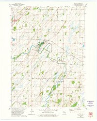
2022 Map of Hartford West
USGS Topo · Published 2022About this map
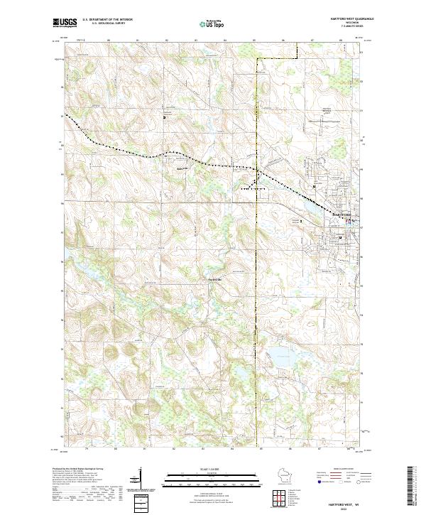
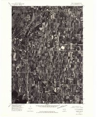
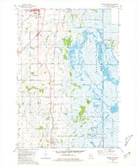
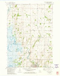
The Rubicon River meanders across this landscape in eastern Dodge County, defining the terrain between the settlements of Rubicon and Saylesville. The eastern edge of the map captures the residential and commercial growth of Hartford, where the town's expansion meets the regional hub of Hartford Municipal Airport. This modern survey reveals a dense network of local cemeteries, including Hallowell Farm Cem and Saint Kilian Cem, which offer significant value for genealogists tracing family histories in this part of Wisconsin. The southern portion of the quadrangle transitions into a lacustrine environment featuring Druid Lake and Collins Lake, while smaller watercourses like Butler Cr and Woodland Cr drain the northern farmland. The road grid, including Woodland Rd and Saylesville Rd, illustrates the enduring integration of rural agriculture and suburban development.
Find a feature on this map
102 named features on this map. Tap any name to fly to it.
Don’t see what you’re looking for? This feature index may not catch every label — zoom into the map to look around manually.
Map Details
Editions of this 2022 Hartford West Map
This is the sole edition of this map. No revisions or reprints were ever made.
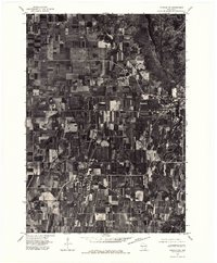
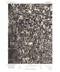
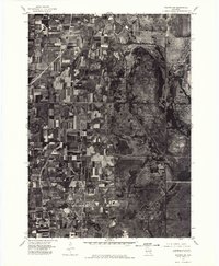
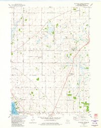
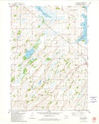
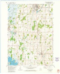
Historical Maps of Erin Through Time
21 maps found
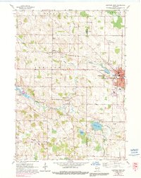
1959 Hartford West
Dodge County, WI
1959 Nenno
Dodge County, WI
1975 Beaver Dam NE
Dodge County, WI
1975 Horicon NE
Dodge County, WI
1975 Horicon NW
Dodge County, WI
1975 Waupun SE
Dodge County, WI
1975 Waupun SW
Dodge County, WI
1980 Astico
Dodge County, WI
1980 Buckhorn Corner
Dodge County, WI
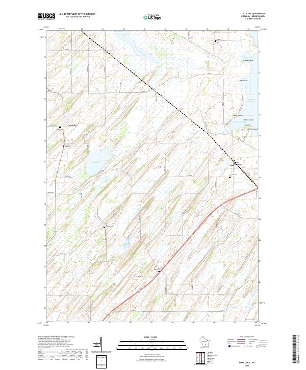
1980 Lost Lake
Dodge County, WI
1980 Mayville South
Dodge County, WI
1980 Waupun South
Dodge County, WI
1981 Mayville North
Dodge County, WI
2022 Astico
Dodge County, WI
2022 Buckhorn Corner
Dodge County, WI
2022 Hartford West
Dodge County, WI
2022 Lost Lake
Dodge County, WI
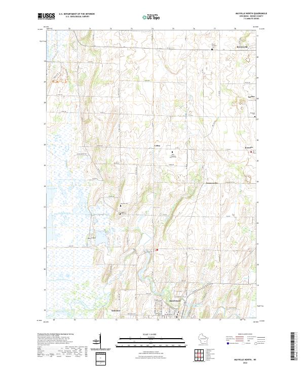
2022 Mayville North
Dodge County, WI
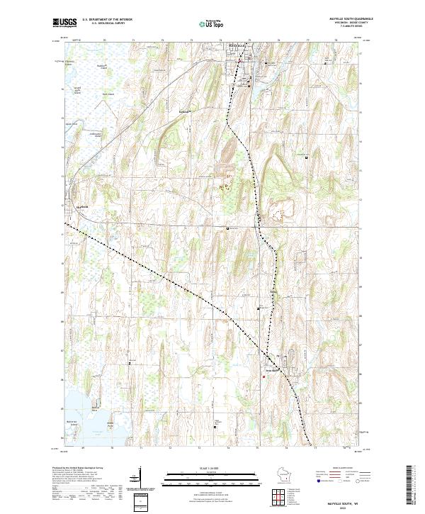
2022 Mayville South
Dodge County, WI
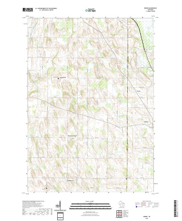
2022 Nenno
Dodge County, WI
2022 Waupun South
Dodge County, WI