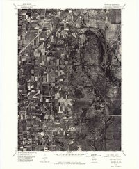
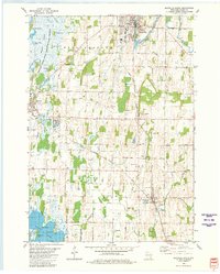
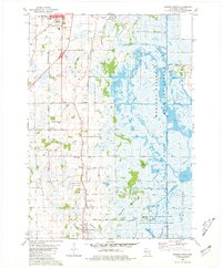
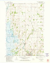
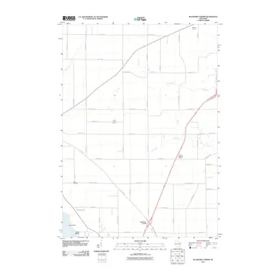
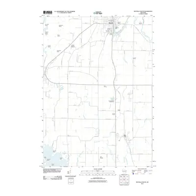
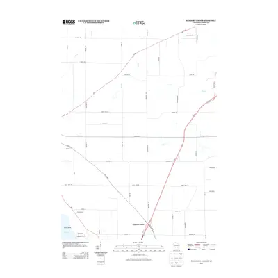
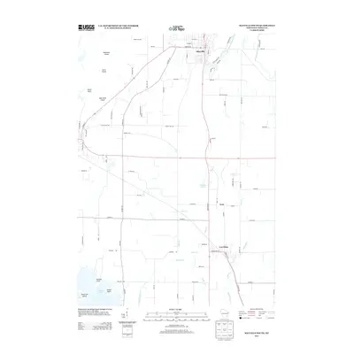
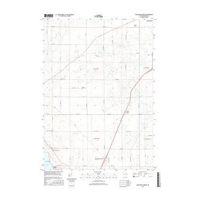
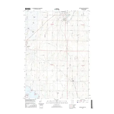
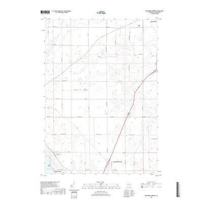
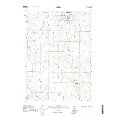
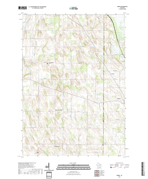
1959 Map of Nenno
USGS Topo · Published 1991About this map
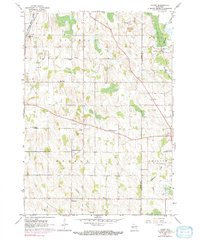
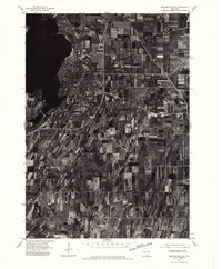
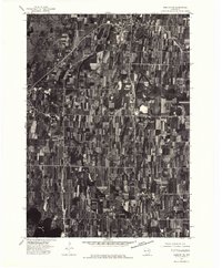
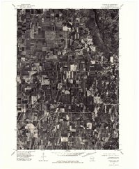
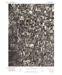
Agricultural lands and rural hamlets define the landscape of the Wisconsin interior during the mid-century, as captured in this survey. The East Branch Rock River winds through the northwestern corner, while small, concentrated settlements like Nenno, Addison, and Hochheim serve as anchors for the surrounding farmsteads. The distribution of neighborhood institutions reflects a community built on local education and faith, evidenced by numerous schoolhouses and churches such as Liberty Sch, Zion Sch, and Immanuel Sch.
Find a feature on this map
29 named features on this map. Tap any name to fly to it.
Don’t see what you’re looking for? This feature index may not catch every label — zoom into the map to look around manually.
Map Details
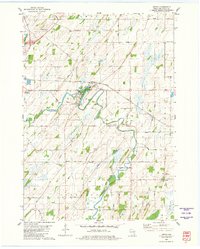
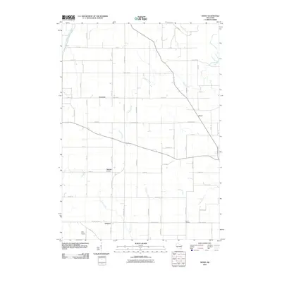
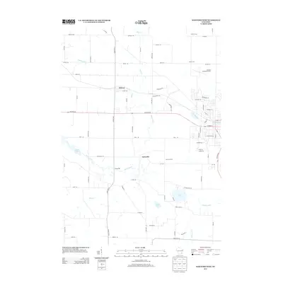
Editions of this 1959 Nenno Map
3 editions found
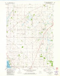
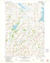
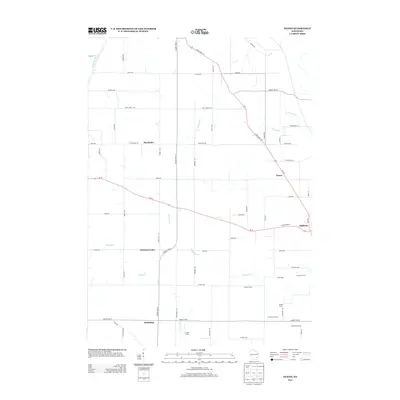
Historical Maps of Addison Through Time
53 maps found
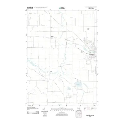
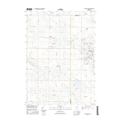
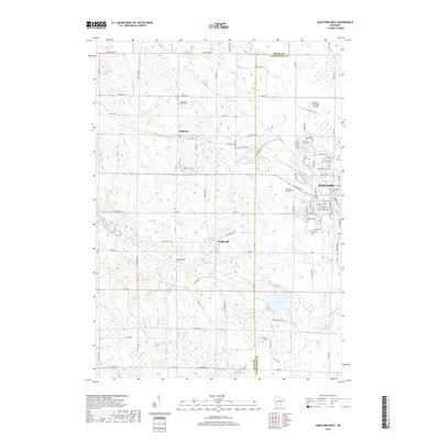
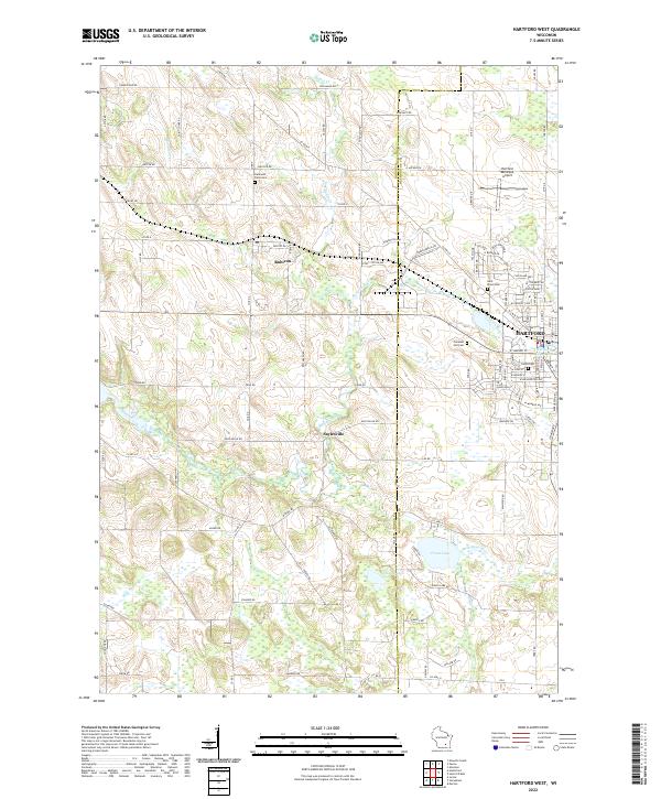
1959 Hartford West
Dodge County, WI
1959 Nenno
Dodge County, WI
1975 Beaver Dam NE
Dodge County, WI
1975 Horicon NE
Dodge County, WI
1975 Horicon NW
Dodge County, WI
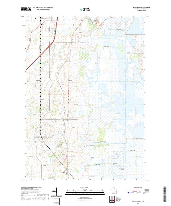
1975 Waupun SE
Dodge County, WI
1975 Waupun SW
Dodge County, WI
1980 Astico
Dodge County, WI
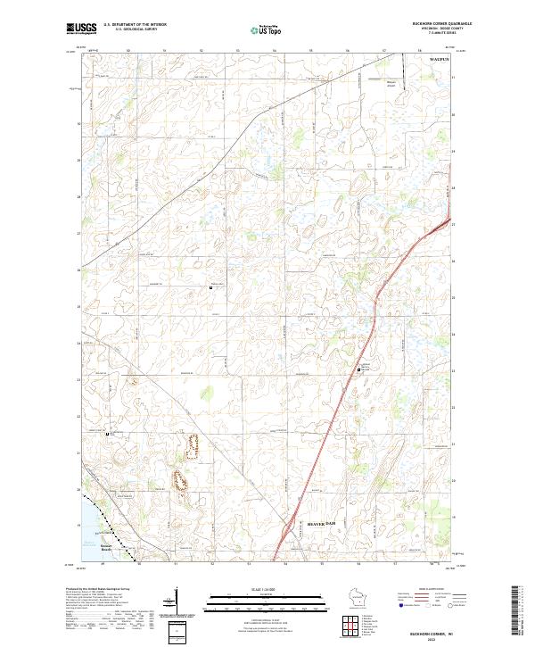
1980 Buckhorn Corner
Dodge County, WI
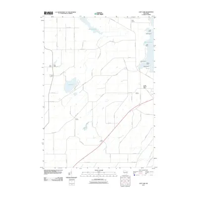
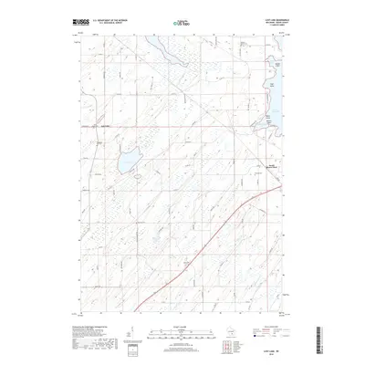
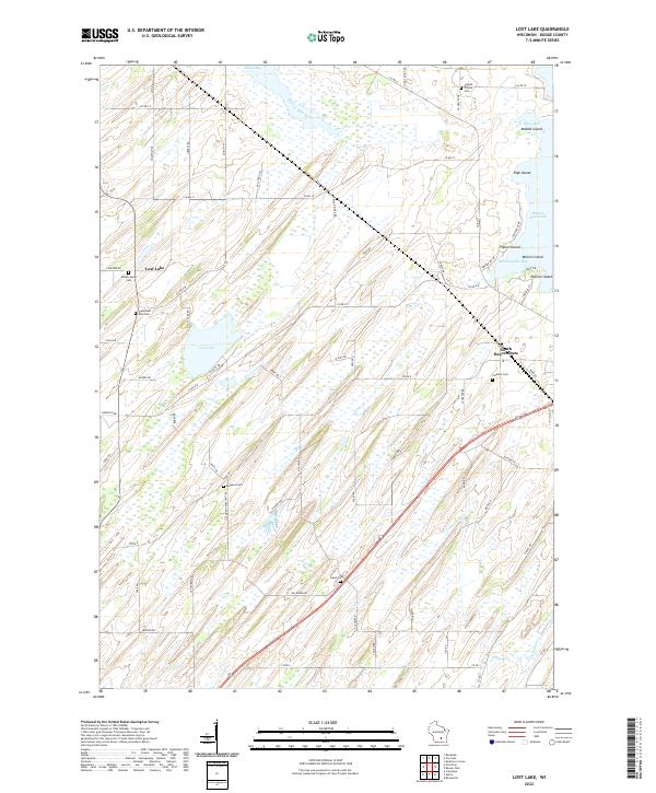
1980 Lost Lake
Dodge County, WI
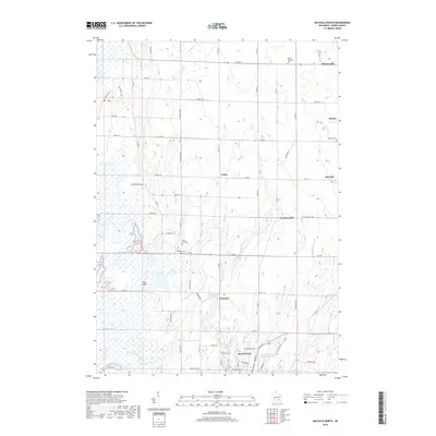
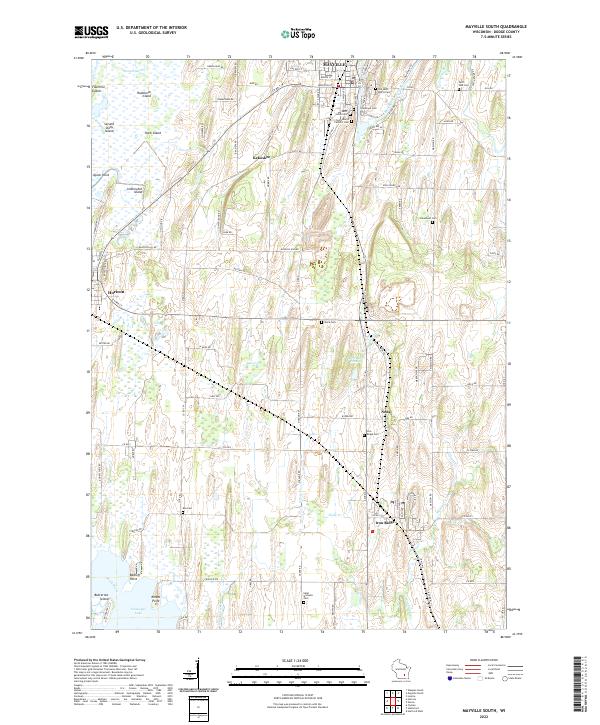
1980 Mayville South
Dodge County, WI
1980 Waupun South
Dodge County, WI
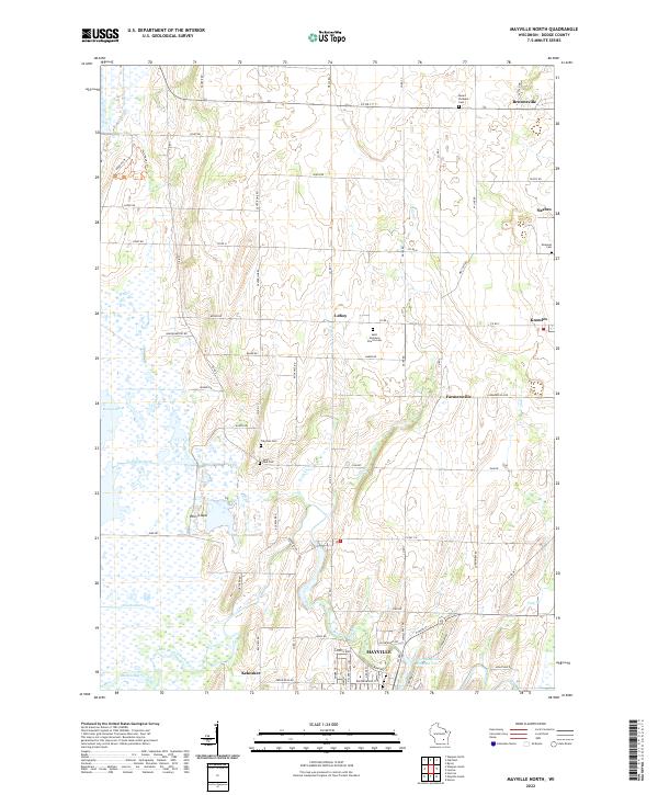
1981 Mayville North
Dodge County, WI
2010 Astico
Dodge County, WI
2010 Buckhorn Corner
Dodge County, WI
2010 Hartford West
Dodge County, WI
2010 Lost Lake
Dodge County, WI
2010 Mayville North
Dodge County, WI
2010 Mayville South
Dodge County, WI
2010 Nenno
Dodge County, WI
2010 Waupun South
Dodge County, WI
2013 Astico
Dodge County, WI
2013 Buckhorn Corner
Dodge County, WI
2013 Hartford West
Dodge County, WI
2013 Lost Lake
Dodge County, WI
2013 Mayville North
Dodge County, WI
2013 Mayville South
Dodge County, WI
2013 Nenno
Dodge County, WI
2013 Waupun South
Dodge County, WI
2015 Astico
Dodge County, WI
2015 Buckhorn Corner
Dodge County, WI
2015 Hartford West
Dodge County, WI
2015 Lost Lake
Dodge County, WI
2015 Mayville North
Dodge County, WI
2015 Mayville South
Dodge County, WI
2015 Nenno
Dodge County, WI
2015 Waupun South
Dodge County, WI
2018 Astico
Dodge County, WI
2018 Buckhorn Corner
Dodge County, WI
2018 Hartford West
Dodge County, WI
2018 Lost Lake
Dodge County, WI
2018 Mayville North
Dodge County, WI
2018 Mayville South
Dodge County, WI
2018 Nenno
Dodge County, WI
2018 Waupun South
Dodge County, WI
2022 Astico
Dodge County, WI
2022 Buckhorn Corner
Dodge County, WI
2022 Hartford West
Dodge County, WI
2022 Lost Lake
Dodge County, WI
2022 Mayville North
Dodge County, WI
2022 Mayville South
Dodge County, WI
2022 Nenno
Dodge County, WI
2022 Waupun South
Dodge County, WI