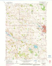
1959 Map of Hartford West
USGS Topo · Published 1991About this map
The Rubicon River and Ashippun River drainage basins define this mid-century landscape on the border of Dodge and Washington Counties. The city of Hartford serves as the regional hub, where the Chicago Milwaukee St Paul and Pacific railroad bisects the industrial and residential core near West Park. Evidence of the area's glacial history is visible in the numerous Gravel Pits and kettle lakes like Druid Lake and Collins Lake.
Find a feature on this map
37 named features on this map. Tap any name to fly to it.
Don’t see what you’re looking for? This feature index may not catch every label — zoom into the map to look around manually.
Map Details
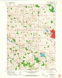
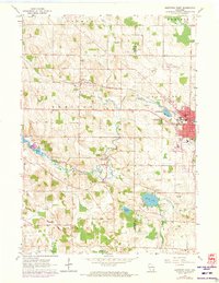
Editions of this 1959 Hartford West Map
3 editions found
Other maps of this area

1892 · Watertown
USGS Topo · 1:62,500

1892 · Oconomowoc
USGS Topo · 1:62,500

1894 · Watertown
USGS Topo · 1:62,500

1904 · Hartford
USGS Topo · 1:62,500

1909 · Oconomowoc
USGS Topo · 1:62,500

1955 · Horicon
USGS Topo · 1:62,500

1957 · Madison
USGS Topo · 1:250,000

1959 · Ixonia
USGS Topo · 1:24,000
1959 · Stonebank
USGS Topo · 1:24,000

1959 · Hartford
USGS Topo · 1:62,500