Old Maps of Genesee, Wisconsin for Metal Detecting
Plan your next treasure hunt with 41 historic maps of Genesee. Find old homesites, ghost towns, trails, and gathering spots that may be lost to time — perfect for identifying promising metal detecting locations.
- Locate forgotten sites: Uncover places like long-lost settlements, abandoned rail lines, or gathering spots.
- Plan better hunts: Use map overlays combined with LiDAR or satellite views to narrow in on historically rich areas.
- Made for detectorists: Thousands of hobbyists use these maps to discover relics, coins, and hidden history.
Use these historic maps to boost your research and find new opportunities beneath the surface of Genesee.
Genesee, WI maps
(41)- 1892 Map of Oconomowoc
 1892 Oconomowoc1892 Print · USGSWaukesha County's lake country is captured in the early 1890s, revealing a landscape defined by glacial waters and nascent rail lines. Researchers can trace the early development of Delafield and Hartland or locate old stops like Lakeside Station and Giffords.4 unique versions available
 - 1892 Map of Eagle
 1892 Eagle1892 Print · USGSSoutheast Wisconsin's glaciated landscape is captured here in the late nineteenth century as new rail lines transformed the frontier into a network of dairy and mill towns. Genealogists can trace early homesteads and rail stops like Genesee Depot, Caldwell Prairie, and Eagleville near the shores of Phantom Lake.
 - 1894 Map of Eagle
 1894 Eagle1894 Print · USGSSoutheast Wisconsin in the late nineteenth century was defined by a thriving rail network and glacial lake landscapes. Researchers can trace the early footprints of settlements like Genesee and East Troy alongside the Fox River and the Wisconsin Central Railroad.
 - 1897 Map of Eagle
 1897 Eagle1897 Print · USGSSoutheast Wisconsin in the late nineteenth century was a landscape of thriving rail-side villages and interconnected kettle lakes. Genealogists and researchers can trace early homesteads and rail stops like Genesee Depot, North Prairie, and the bustling lakefront at Mukwonago.
 - 1906 Map of Eagle
 1906 Eagle1906 Print · USGSSoutheastern Wisconsin's glaciated terrain is remarkably detailed in this early century survey of the Fox River valley. Genealogists and local historians can trace the early rail-stop settlements of Genesee Depot, North Prairie, and Eagleville alongside landmarks like Lake Beulah and Honey Creek.6 unique versions available
 - 1909 Map of Oconomowoc
 1909 Oconomowoc1909 Print · USGSThe Lake Country of Waukesha County is captured here at the height of its early resort era. You can trace family roots in Oconomowoc, locate the historic Nashotah Mission, and find long-lost stops like Waukesha Beach and Lakeside Sta.6 unique versions available
 - 1954 Map of Rockford
 1954 Rockford1954 Print · USGSThe Rock River valley and the Illinois-Wisconsin borderlands are captured here in the mid-1950s during a period of robust industrial and agricultural activity. Genealogists and historians can trace rail-era corridors like the Illinois Central RR and locate landmarks from Big Foot Prairie to Lake Geneva.
 - 1955 Map of Rockford
 1955 Rockford1955 Print · USGSThe Rock River valley and southern Wisconsin dairy country are shown here in the mid-fifties as the region's manufacturing centers grew. Genealogists and historians can trace the paths of the Chicago and North Western RR and Illinois Central RR through hubs like Rockford and Beloit.
 - 1957 Map of Madison, 1967 Print
 1957 Madison1967 Print · USGSSouth-central Wisconsin in the mid-fifties reveals a landscape of industrial hubs and glacial lakes linked by a dense rail and highway network. Genealogists and historians can trace the development of lakeside communities and find notable sites like Badger Ordnance Works and the Horicon National Wildlife Refuge.3 unique versions available
 - 1958 Map of Rockford, 1974 Print
 1958 Rockford1974 Print · USGSNorthern Illinois and southern Wisconsin are shown here in the mid-twentieth century as rail-dependent industrial towns began to interface with growing lakefront communities. Genealogists can trace family roots through settlements like Saylesville and Tess Corners or locate historical landmarks like the Rockford Ordnance Depot.4 unique versions available
 - 1959 Map of Hartland, 1961 Print
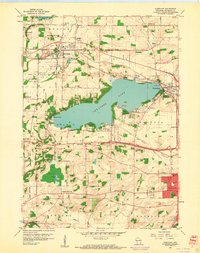 1959 Hartland1961 Print · USGSWaukesha County during the late fifties shows a landscape of glacial lakes and growing lakeside communities. Genealogists and local historians can trace family-named schools and rural parishes like Zion Sch, Bark River Cem, and Little Tabernacle Ch.4 unique versions available
 - 1959 Map of Oconomowoc East, 1961 Print
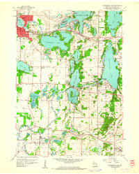 1959 Oconomowoc East1961 Print · USGSWaukesha County's lake country is captured here in the late fifties, showcasing a landscape of glacial waters and growing towns. Local historians can locate St Johns Military Academy, the Wisconsin School for Boys, and family sites near Holy Innocents Cem.5 unique versions available
 - 1959 Map of Hartland, 1961 Print
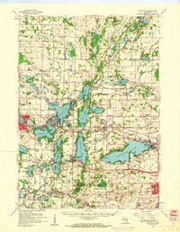 1959 Hartland1961 Print · USGSWaukesha County at the close of the 1950s shows a landscape defined by glacial lakes and a maturing rail network. Genealogists and historians can trace old community hubs like Stonebank and Merton, identifying local landmarks from St Olaf Ch to University Lake Sch.
 - 1960 Map of Madison
 1960 Madison1960 Print · USGSCentral and Southern Wisconsin are captured in the late fifties, showing the region as its rail-and-river network matured. Trace the paths of the Soo Line RR or locate family roots near Lake Mendota and Horicon National Wildlife Refuge.2 unique versions available
 - 1960 Map of Eagle, 1962 Print
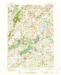 1960 Eagle1962 Print · USGSSoutheast Wisconsin at the start of the 1960s shows a complex network of glacial lakes and bustling rail-stop towns. Genealogists can trace family names at Evergreen Cem and St Paul Cem, or locate rural schoolhouses like Sandy Island Sch.3 unique versions available
 - 1960 Map of Eagle, 1964 Print
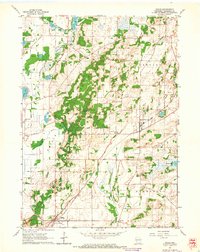 1960 Eagle1964 Print · USGSWaukesha County's glacial terrain and rural hamlets are captured here at the start of the 1960s. Genealogists can trace family names and local landmarks like Jerusalem Cem, Salem Ch, and the small settlement of Jericho.3 unique versions available
 - 1960 Map of Genesee, 1964 Print
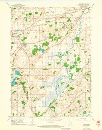 1960 Genesee1964 Print · USGSWaukesha County in the early sixties was a landscape of small hamlets and agricultural tracts before the height of suburban expansion. Genealogists and historians can locate rural landmarks like Genesee Depot, Saylesville, and Bethesda Sch along the river and rail lines.3 unique versions available
 - 1963 Map of Rockford
 1963 Rockford1963 Print · USGSThe mid-century industrial corridor along the Rock River is shown here during a period of rapid post-war growth. Researchers can trace the extensive rail lines of the Chicago and North Western or locate local landmarks like the Rockford Ordnance Depot and Holy Hill.
 - 1980 Map of Lake Geneva, 1981 Print
 1980 Lake Geneva1981 Print · USGSSoutheastern Wisconsin at the start of the eighties reveals a landscape of glacial moraines and established lakefront resorts. Researchers can trace historic rail lines like the Chicago and North Western RR or locate landmarks such as Yerkes Observatory and East Lawn Cem.
 - 1984 Map of Oconomowoc, 1985 Print
 1984 Oconomowoc1985 Print · USGSSoutheast Wisconsin in the mid-eighties shows a landscape defined by its glacial heritage and expanding metropolitan corridors. Genealogists and historians can trace the development of lakeside communities like Oconomowoc and Pewaukee, or find established settlements such as Watertown and Beaver Dam.
 - 1991 Map of Oconomowoc
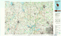 1991 Oconomowoc1991 Print · USGSSoutheastern Wisconsin in the early nineties shows a landscape of glacial lakes and growing suburbs. Trace local history through Aztalan State Park, Carroll College, and the sprawling Horicon Marsh State Wildlife Area.
 - 2010 Map of Eagle, 2010 Print
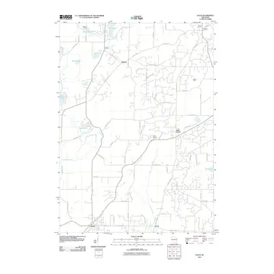 2010 Eagle2010 Print · USGSWaukesha County settlements and glacial water bodies are captured here in the first decade of the new millennium. Researchers can trace local lineage through several sites including Salem Cemetery and Ottawa Cemetery or locate landmarks like Bischel Dam.
 - 2010 Map of Genesee, 2010 Print
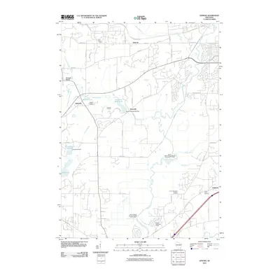 2010 Genesee2010 Print · USGSWaukesha County in the early twenty-first century reveals a landscape defined by the Fox River and several historic crossroads communities. Local researchers can trace family connections at Saint Pauls Cemetery or explore the milling history of Saylesville near the Saylesville Roller Mill Dam.
 - 2010 Map of Hartland, 2010 Print
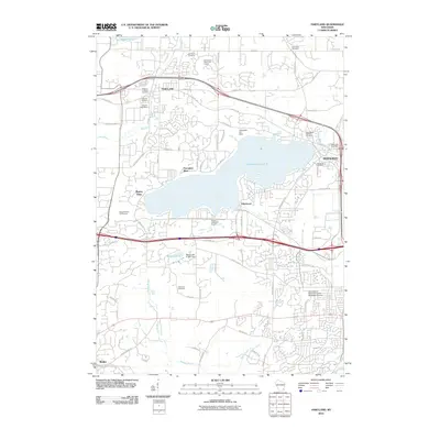 2010 Hartland2010 Print · USGSWaukesha County at the turn of the decade shows a landscape where historic lakeside communities have grown into a suburban corridor. Researchers can trace local heritage through Tabernacle Cemetery, the Pewaukee Post Office, and the Bark River drainage.
 - 2010 Map of Oconomowoc East, 2010 Print
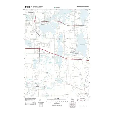 2010 Oconomowoc East2010 Print · USGSWaukesha County’s lake country is captured in the early twenty-first century, showing the dense network of settlements and glacial waters. Genealogists and local historians can trace burial sites like La Belle Cemetery or explore landmarks such as the Bark River Airport and University Lake School.
Showing maps 1-25 of 41
Top cities near Genesee
- Waukesha historical maps
- Brookfield historical maps
- New Berlin historical maps
- Menomonee Falls historical maps
- Muskego historical maps
- Germantown historical maps
See more
Top neighborhoods of Genesee
- Genesee Depot historical maps
- Saylesville historical maps
- Bethesda historical maps
- Victoria Pond historical maps
Frequently asked questions
- What are the different types of historical maps available for Genesee?
- What is the oldest map of Genesee?
- Where can I purchase historical maps of Genesee for my home or office?
- Where can I download high-res historical maps of Genesee?
- Are there historical topographic maps available for Genesee?
- Is there historical aerial imagery available for Genesee?
- Where are historical maps of Genesee sourced from?