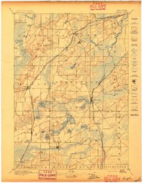
1897 Map of Eagle
USGS Topo · Published 1897About this map
Glacial kettle lakes and river systems dominate this late 19th-century landscape across the intersection of Waukesha, Walworth, and Racine counties. The Fox River meanders through the eastern section, creating expansive wetlands such as Mukwonago Lake, while a dense cluster of water bodies including Lake Beulah, Phantom Lake, and Eagle Lake defines the southern topography. These lakes provided the natural anchor for local growth, supporting established milling and farming communities.
Find a feature on this map
49 named features on this map. Tap any name to fly to it.
Don’t see what you’re looking for? This feature index may not catch every label — zoom into the map to look around manually.
Map Details
Editions of this 1897 Eagle Map
This is the sole edition of this map. No revisions or reprints were ever made.
Other maps of this area
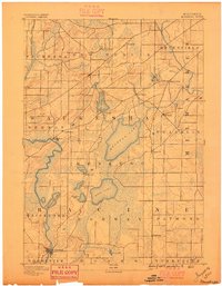
1891 · Muskego
USGS Topo · 1:62,500
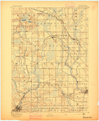
1892 · Waukesha
USGS Topo · 1:62,500
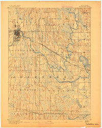
1892 · Watertown
USGS Topo · 1:62,500
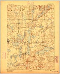
1892 · Oconomowoc
USGS Topo · 1:62,500
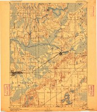
1892 · Whitewater
USGS Topo · 1:62,500
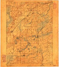
1892 · Eagle
USGS Topo · 1:62,500
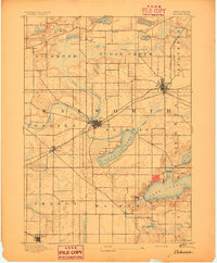
1893 · Delavan
USGS Topo · 1:62,500
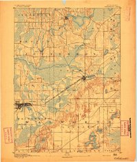
1893 · Whitewater
USGS Topo · 1:62,500
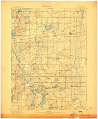
1893 · Silver Lake
USGS Topo · 1:62,500
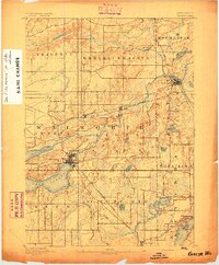
1893 · Geneva
USGS Topo · 1:62,500