2020s Maps of Wood County, Wisconsin
Explore 29 historic maps of Wood County from the 2020s. These maps offer a rare glimpse into what life looked like during the 2020s — showing old roads, neighborhoods, homes, and landmarks that have changed or disappeared over time.
Whether you're researching your family's past, planning a metal detecting trip, or studying how Wood County's landscape evolved across the 2020s, these high-resolution maps are a powerful tool for exploring the history of this region.
- Focus on a specific era: All maps on this page are from the 2020s, giving you a focused view of this time period.
- See what’s changed: Compare century-old streets, trails, and buildings to today's modern landscape using overlays and satellite layers.
- Research with precision: Use these maps for genealogy, historical research, land use analysis, or educational projects.
- View, download, or print: Maps are fully viewable online in high resolution, and can be downloaded or printed for your own records.
Start exploring Wood County's history through authentic maps from the 2020s. This is your window into the past.
Wood County, WI maps
(29)- 2022 Map of Vesper, 2022 Print
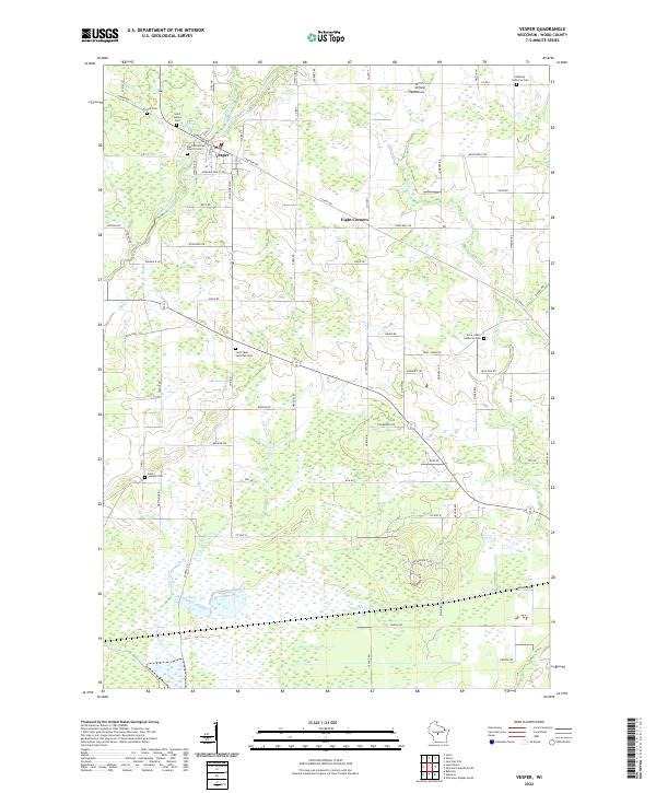 2022 Vesper2022 Print · USGSWisconsin's Wood County heartland is captured here in the early twenty-first century, centered on the village of Vesper. Local historians can trace family roots through several legacy sites like Faith Reformed Church Cem, Bethany Lutheran Cem, and the rural landing strip at Winch Airfield.
 - 2022 Map of Lindsey, 2022 Print
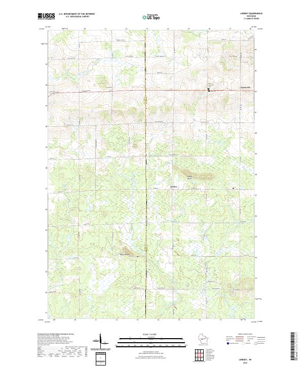 2022 Lindsey2022 Print · USGSWood County agricultural and forest lands are captured in the early 2020s, centered on the communities of Lindsey and Nasonville. Researchers can trace family history and landmarks at Rock Cem, Lindsey Bluffs, and the distinct Epsey Mound.
 - 2022 Map of Mather, 2022 Print
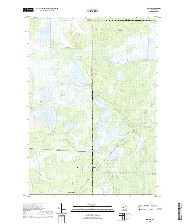 2022 Mather2022 Print · USGSThe rural marshlands at the junction of four Wisconsin counties come into focus in this contemporary survey. Genealogists and local historians can locate Oak Grove Cem and Pine Grove Cem or trace the vast Beaver Flowage and Norway Ridge.
 - 2022 Map of Quail Point Flowage, 2022 Print
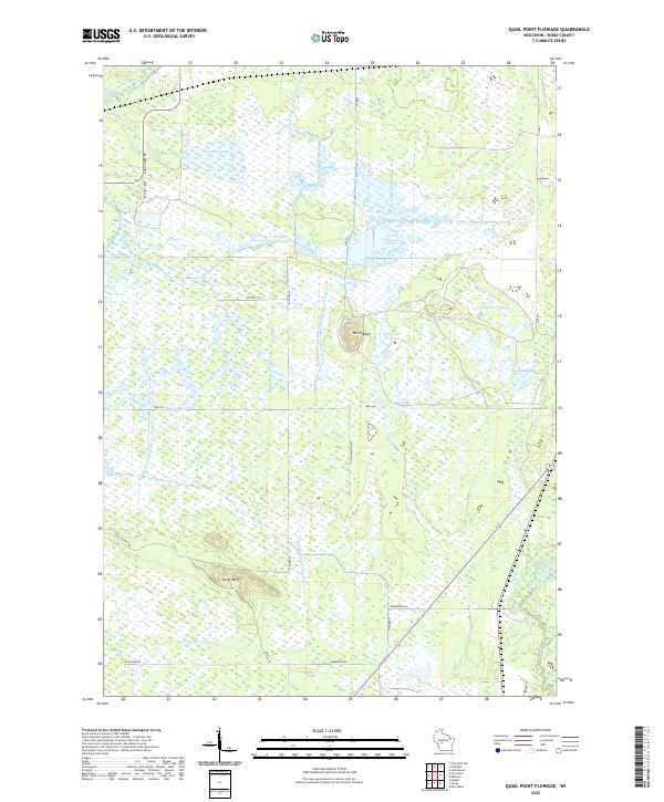 2022 Quail Point Flowage2022 Print · USGSWood County's intricate water systems are charted here in the 2020s, showing the vast flowages and marshlands of central Wisconsin. Trace family-named landmarks and landscape features like North Bluff, Quail Point Flowage, and the winding Little Yellow River.
 - 2022 Map of City Point NE, 2022 Print
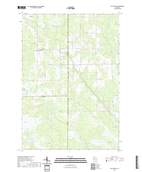 2022 City Point NE2022 Print · USGSWisconsin's marshlands at the junction of Wood, Clark, and Jackson counties are captured in this modern survey. Genealogists and local historians can trace family locations near the Sherwood Cem and the small settlements of Sherwood and Nevins.
 - 2022 Map of City Point, 2022 Print
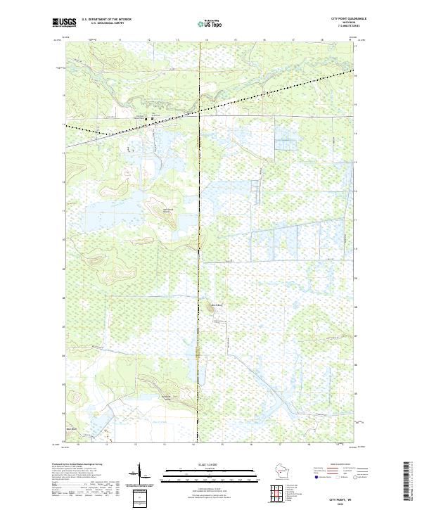 2022 City Point2022 Print · USGSThe marshlands of central Wisconsin are shown here in modern detail where the East Fork Black River flows past City Point. Researchers can trace old family burial sites at City Point Cemetery or locate distinctive landforms like Birch Bluff and Van Tassle Island.
 - 2022 Map of Coloma NW, 2022 Print
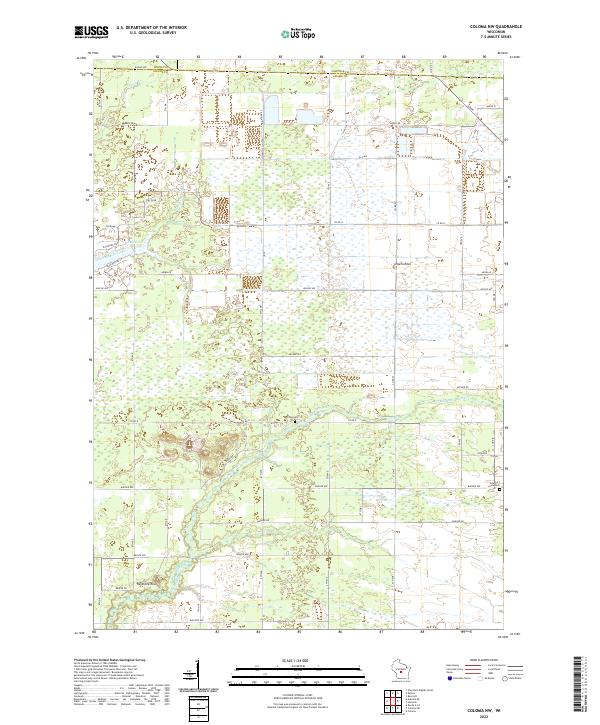 2022 Coloma NW2022 Print · USGSThe borderlands of Adams, Wood, and Portage counties come into focus in this recent survey of the central Wisconsin plains. Family historians can locate Holiday Cem and Coloma-Leola Cem or trace landmarks like Owens Rock and Big Roche-a-Cri Cr.
 - 2022 Map of Babcock, 2022 Print
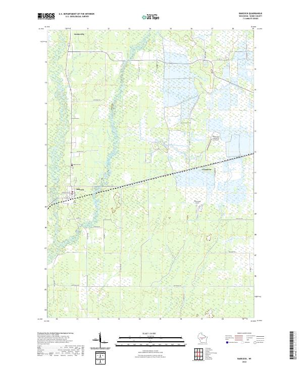 2022 Babcock2022 Print · USGSModern Wood County reveals its deep agricultural roots in this survey of the cranberry-growing heartland. Genealogists and local historians can locate Babcock Cem and trace the specialized landscape around Whittlesey Cranberry Co Airport and Cranmoor.
 - 2022 Map of Finley, 2022 Print
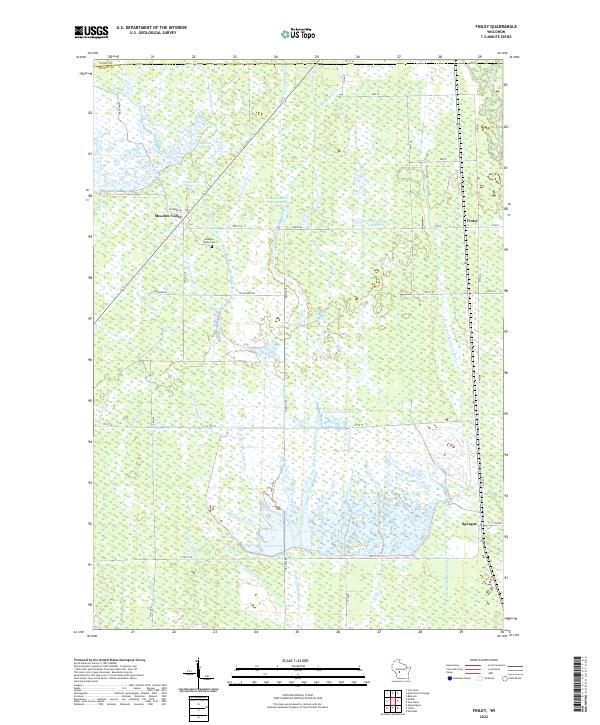 2022 Finley2022 Print · USGSThe marshlands of Juneau County are depicted here in the early twenty-first century, showing a landscape shaped by a intricate network of drainage laterals. Researchers can locate the Meadow Valley Cem and trace the waterways of Goose Pool and Finley.
 - 2022 Map of Sherry, 2022 Print
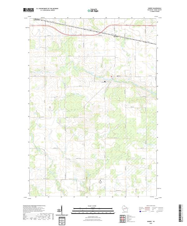 2022 Sherry2022 Print · USGSWood County’s dairy and timber roots are visible in this modern survey of the central Wisconsin landscape. Genealogists and local historians can trace family plots near Fairview Cem and follow the rural roads connecting Blenker and Sherry.
 - 2022 Map of Arpin, 2022 Print
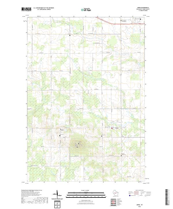 2022 Arpin2022 Print · USGSWood County’s agricultural and spiritual heart is on display in this contemporary survey of the Arpin and Bethel area. Genealogists can trace numerous historic burial sites, including Indian Bill Cem, Slidre Cem, and Bethel Cem.
 - 2022 Map of Wisconsin Rapids South, 2022 Print
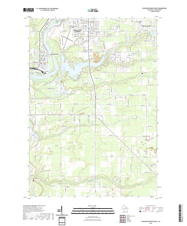 2022 Wisconsin Rapids South2022 Print · USGSThe southern edges of Wisconsin Rapids and Port Edwards are captured here in the early twenty-first century. Researchers can trace the layout of family lands near Pioneer Cem or explore the hydrography of Nepco Lake and the Wisconsin River.
 - 2022 Map of Lake Dexter, 2022 Print
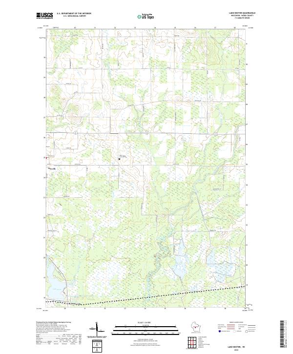 2022 Lake Dexter2022 Print · USGSCentral Wisconsin woodlands and wetlands surround the communities of Pittsville and Dexterville in the early 2020s. Genealogists and local historians can trace family locations near Saint Johns Lutheran Cem or follow the winding courses of Hemlock Creek and Owl Creek.
 - 2022 Map of New Miner, 2022 Print
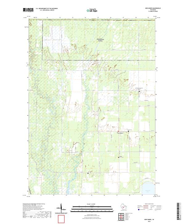 2022 New Miner2022 Print · USGSJuneau County’s wetland interior is documented here in the early twenty-first century, centered on the small community of New Miner. Researchers can locate several rural burial sites, including Searles Prairie Cemetery, and trace the shoreline of Petenwell Lake.
 - 2022 Map of Nekoosa, 2022 Print
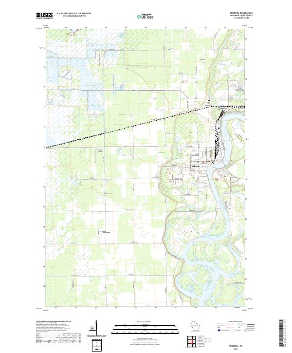 2022 Nekoosa2022 Print · USGSWisconsin River life and industrial settlement define this Wood County landscape in the early 2020s. Researchers can trace the residential growth of Nekoosa and Port Edwards, locate family plots at Riverside Cem, or find the Cranmoor Airstrip out among the western marshes.
 - 2022 Map of Arkdale NE, 2022 Print
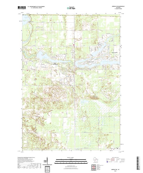 2022 Arkdale NE2022 Print · USGSAdams County lake life is on full display in this recent look at the planned communities around Lake Camelot and Lake Sherwood. Researchers can trace local history at Spring Branch Cem or explore the terrain near Dorra Cooshe Mtn.
 - 2022 Map of Pittsville, 2022 Print
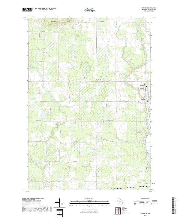 2022 Pittsville2022 Print · USGSWood County settlements and the winding Yellow River define this central Wisconsin landscape in the early twenty-first century. Genealogists can locate Saint Joachims Cem and Mound Cem, or trace the rural character of Veedum and the environs of Cary Mound.
 - 2022 Map of Wisconsin Rapids North, 2022 Print
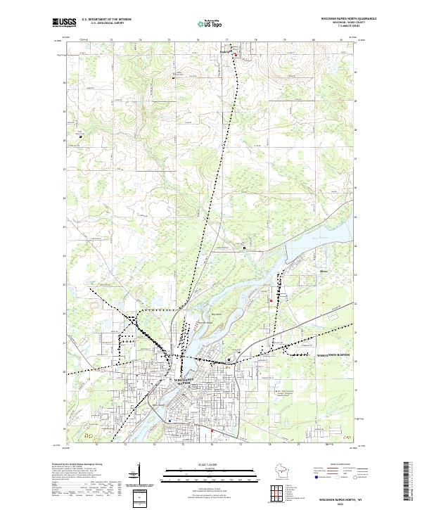 2022 Wisconsin Rapids North2022 Print · USGSThe Wisconsin River corridor in Wood County comes alive in this contemporary survey, centering on the industry and civic life of the region. Genealogists and local historians can trace family locations near Forest Hill Cem, the Wood County Courthouse, and the village of Rudolph.
 - 2022 Map of Rocky Run, 2022 Print
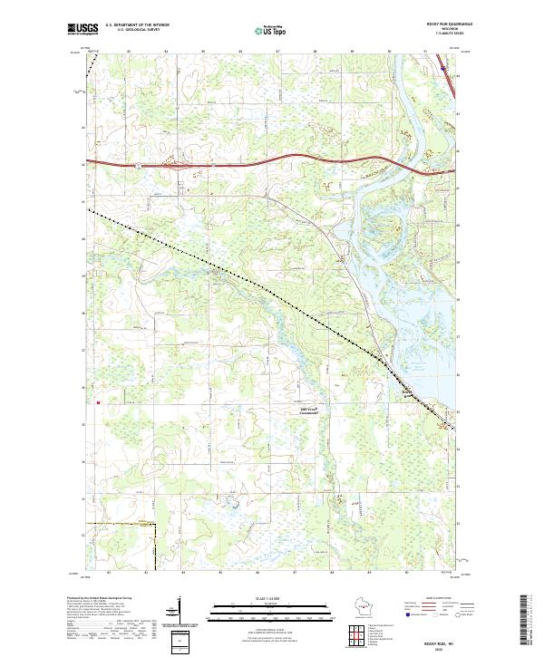 2022 Rocky Run2022 Print · USGSThe Wisconsin River shoreline and the quiet interior of Portage and Wood Counties are captured here as they appeared in 2022. Researchers can trace the local landscape from the Mill Creek Community to the wetlands of Fogarty Marsh and the waters of First Lake.
 - 2022 Map of Junction City, 2022 Print
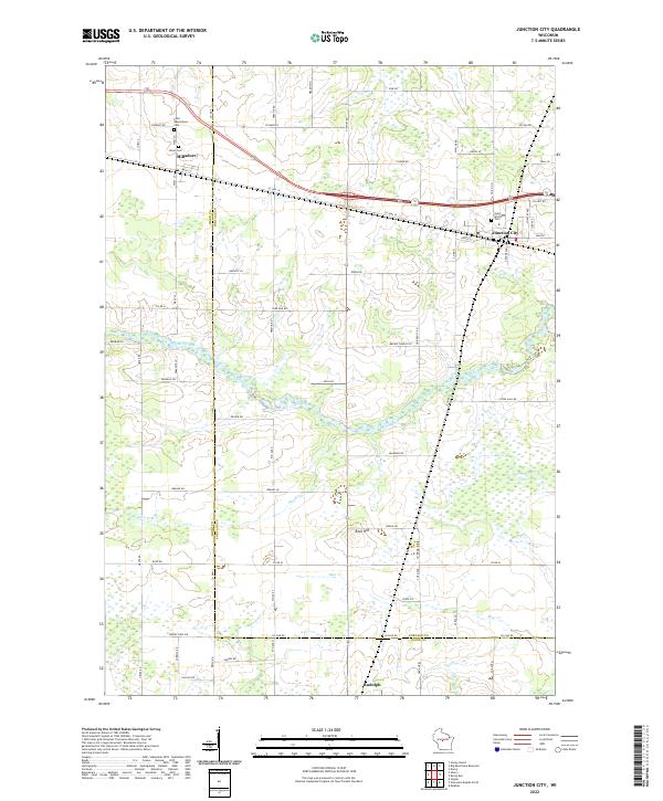 2022 Junction City2022 Print · USGSJunction City and Milladore are shown in recent years at the busy intersection of Wood and Portage counties. Researchers can trace family history at Saint Wenceslaus Cem or locate geographical landmarks like Rock Hill and the sprawling Fogarty Marsh.
 - 2022 Map of Honey Island, 2022 Print
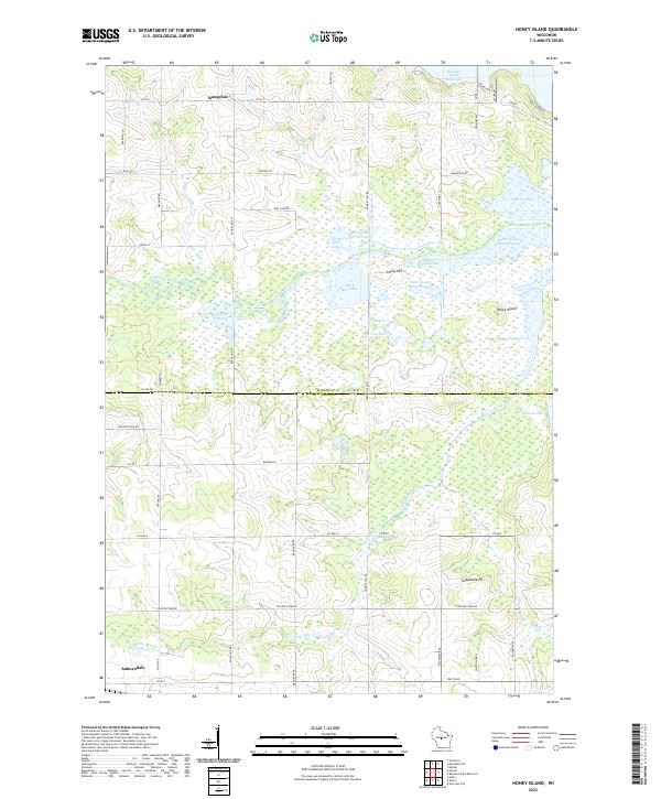 2022 Honey Island2022 Print · USGSThe borderlands of Marathon and Wood Counties are defined by a complex network of flowages and managed wetlands in the early twenty-first century. Genealogists and local historians can trace the landscape around Auburndale, the Soapstone Pit, and the namesake Honey Island.
 - 2022 Map of Meehan, 2022 Print
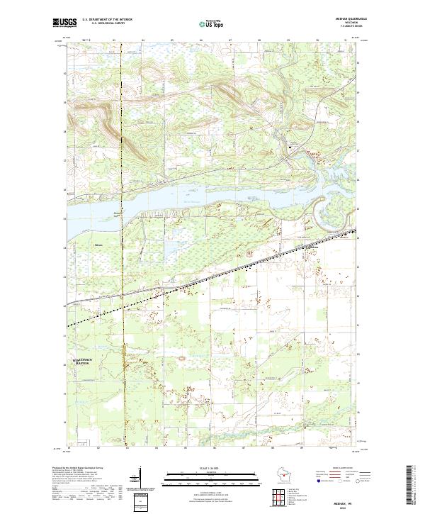 2022 Meehan2022 Print · USGSPortage and Wood counties meet along the Wisconsin River in the early 2020s, showing a mix of riverside development and vast marshland. You can trace the boundaries of Biron and Meehan, locate the Linwood Union Cem, and follow the banks of Biron Flowage.
 - 2022 Map of Lake Manakiki, 2022 Print
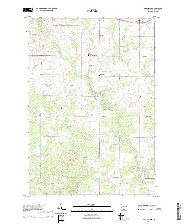 2022 Lake Manakiki2022 Print · USGSWood County’s central landscape is captured here in the early 2020s, showing a rural expanse defined by the Yellow River and glacial terrain. Genealogists and local historians can locate Trinity Lutheran Church Cem, Richfield Cem, and landmarks like Cary Mound.
 - 2022 Map of Arkdale NW, 2022 Print
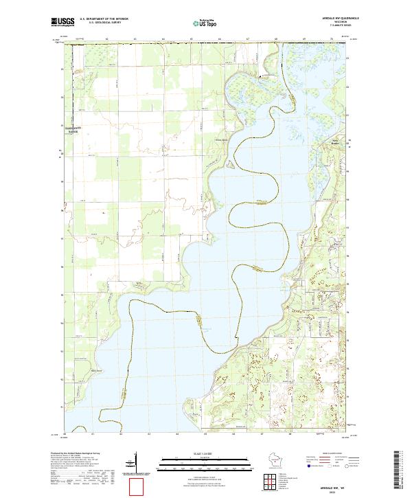 2022 Arkdale NW2022 Print · USGSThe sprawling waters of Petenwell Lake define this region along the Juneau and Adams county line in the early twenty-first century. Researchers can trace the development of New Rome and locate landmarks like Greenwood Cem and Halls Point.
 - 2022 Map of Kellner, 2022 Print
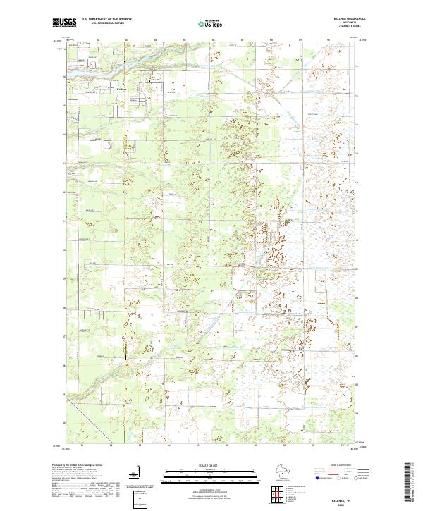 2022 Kellner2022 Print · USGSThe community of Kellner and the border between Wood and Portage counties are captured here in the early twenty-first century. Genealogists and local historians can trace the grounds of Saint Johns Cem and the complex drainage networks of Tenmile Cr and Bloody Run.
Showing maps 1-25 of 29
Top cities of Wood County
- Marshfield historical maps
- Wisconsin Rapids historical maps
- Nekoosa historical maps
- Port Edwards historical maps
- Pittsville historical maps
- Biron historical maps
See more
Frequently asked questions
- What are the different types of historical maps available for Wood County?
- What is the oldest map of Wood County?
- Where can I purchase historical maps of Wood County for my home or office?
- Where can I download high-res historical maps of Wood County?
- Are there historical topographic maps available for Wood County?
- Is there historical aerial imagery available for Wood County?
- Where are historical maps of Wood County sourced from?