Old Maps of Sigel, Wisconsin for Hiking & Exploration
Hike through history with 30 historic maps of Sigel. Explore old trails, ghost towns, and forgotten backroads — perfect for outdoor adventurers and local explorers.
- Rediscover forgotten places: Map out old mining camps, roads, and footpaths that no longer exist on modern maps.
- Layer with modern tools: Combine with LiDAR or satellite views to plan hikes through historical terrain.
- Made for exploration: Popular among hikers, overlanders, and local history lovers.
Use these maps to find adventure and explore the hidden past of Sigel.
Sigel, WI maps
(30)- 1955 Map of Green Bay, 1968 Print
 1955 Green Bay1968 Print · USGSCentral and Eastern Wisconsin are captured here in the mid-fifties, showing the industrial growth of the Fox Valley and Wisconsin River corridors. Genealogists and historians can trace rail lines like the Green Bay and Western through settlements like Weyauwega, Clintonville, and Pulaski.2 unique versions available
 - 1956 Map of Milladore, 1958 Print
 1956 Milladore1958 Print · USGSIn the mid-fifties, this section of Wood County was a busy crossroads for the Soo Line and Milwaukee Road railroads. Genealogists can trace a lost network of rural education through sites like Steppingstone Sch, Lone Elm Sch, and the Runkle Sch.
 - 1957 Map of Wisconsin Rapids, 1959 Print
 1957 Wisconsin Rapids1959 Print · USGSThe mid-century paper-milling and cranberry-farming corridor along the Wisconsin River is shown here in detail during a period of steady growth. Researchers can trace the development of Wisconsin Rapids, the extensive Cranberry Bogs, and rural landmarks like St Johns Ch and Nepco Lake.
 - 1967 Map of Wisconsin Rapids, 1969 Print
 1967 Wisconsin Rapids1969 Print · USGSThe industrial riverfronts of Wood County and the extensive cranberry marshlands of the central sands are captured in this mid-century survey. Researchers can trace family roots through numerous rural landmarks like St John Ch, Trinity Cem, and the community at Eight Corners.2 unique versions available
 - 1970 Map of Junction City, 1972 Print
 1970 Junction City1972 Print · USGSJunction City and Milladore sit at a vital rail crossing in central Wisconsin as the seventies began. Genealogists and rail historians can trace the intersection of the Soo Line and Chicago Milwaukee St Paul and Pacific, alongside local landmarks like St Wenceslaus Cem and Fogarty Marsh.
 - 1970 Map of Sherry, 1972 Print
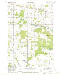 1970 Sherry1972 Print · USGSWood County dairy country and rail corridors are captured here in the early seventies, as the region maintained its rural character. Local historians can trace the paths of the Soo Line and Chicago and North Western through Sherry and Blenker.2 unique versions available
 - 1984 Map of Wisconsin Rapids North
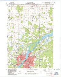 1984 Wisconsin Rapids North1984 Print · USGSWisconsin Rapids and the village of Biron are seen here in the mid-1980s as the river-driven industry of Wood County continued to shape the landscape. Researchers can trace local heritage at St Philomena Cem, the Cranberry Bogs, and the Soo Line rail corridors.
 - 1984 Map of Vesper
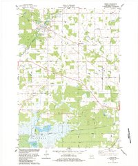 1984 Vesper1984 Print · USGSWood County in the mid-1980s shows a landscape of specialized agriculture and rural faith. Genealogists and local historians can trace family plots at Trinity Cem and Sigel Cem, while mapping the industrial footprint of the Soo Line and the extensive Cranberry Bogs near Walker.
 - 1984 Map of Wausau, 1990 Print
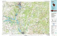 1984 Wausau1990 Print · USGSMarathon and Portage counties come into focus during the mid-eighties as industrial river towns and sprawling conservation areas define the Central Wisconsin landscape. Researchers can trace the rail corridors of the Soo Line or locate rural landmarks like Rib Mountain State Park and St Marys Cem.
 - 1985 Map of Wisconsin Rapids
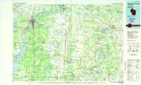 1985 Wisconsin Rapids1985 Print · USGSCentral Wisconsin in the mid-eighties shows a landscape of engineered waterways and active rail corridors between Wisconsin Rapids and Waupaca. Genealogists and researchers can trace local landmarks like Roche A Cri State Park, the SOO LINE, and small settlements like Coddington or Rudolph.2 unique versions available
 - 2010 Map of Sherry, 2010 Print
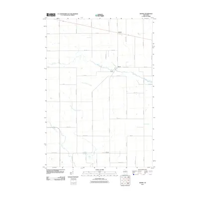 2010 Sherry2010 Print · USGSSherry and its surrounding Wood County dairy lands appear in the early twenty-first century as a landscape of grid-pattern farms and winding creeks. Researchers can locate family landmarks like Fairview Cemetery, the settlement of Blenker, and Mill Creek.
 - 2010 Map of Junction City, 2010 Print
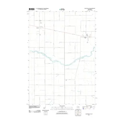 2010 Junction City2010 Print · USGSWood County at the turn of the millennium shows a landscape defined by its small towns and the meandering path of Mill Creek. Local historians can trace family roots at Saint Wenceslaus Cemetery or Saint Michael Cemetery and explore the rural layouts of Milladore and Junction City.
 - 2010 Map of Vesper, 2010 Print
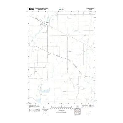 2010 Vesper2010 Print · USGSWood County at the turn of the millennium shows a landscape defined by small-town hubs and rural cemetery sites. Genealogists can trace family names at Saint Josephs Cemetery and Sigel Cemetery or locate the village of Vesper near its local dam.
 - 2010 Map of Wisconsin Rapids North, 2010 Print
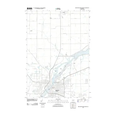 2010 Wisconsin Rapids North2010 Print · USGSWisconsin Rapids and Biron are shown during a period of established riverfront development along the Wisconsin River. Genealogists and researchers can trace local landmarks like Forest Hill Cemetery, the Wisconsin Rapids Post Office, and the grounds of Camp Sacajawea.
 - 2013 Map of Junction City, 2013 Print
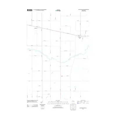 2013 Junction City2013 Print · USGSJunction City and Milladore are centered in this early 2010s survey of the Wisconsin heartland, showing the intersection of rail-and-road transport. Genealogists can trace family lands along Trestik Rd or Mallek Rd near the banks of Mill Creek.
 - 2013 Map of Wisconsin Rapids North, 2013 Print
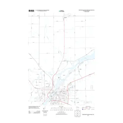 2013 Wisconsin Rapids North2013 Print · USGSThe Wisconsin River corridor north of Wisconsin Rapids is captured here in the early twenty-first century, showing a landscape shaped by massive flowages and river islands. Genealogists and locals can trace the outskirts of Rudolph and Biron, or locate landmarks like Camp Sacajawea and Belle Island.
 - 2013 Map of Vesper, 2013 Print
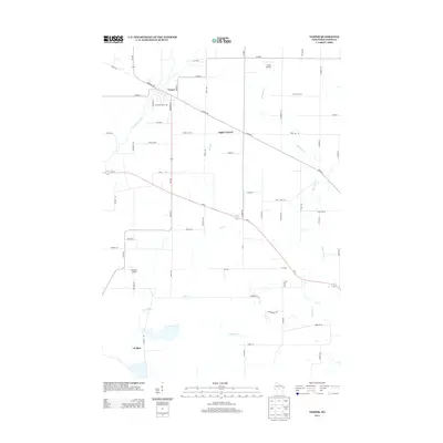 2013 Vesper2013 Print · USGSVesper and its surrounding Wood County townships appear in this early 21st-century survey during a period of steady rural development. Genealogists can trace family landmarks and local hubs like Eight Corners, Walker, and the small runways of Winch Airfield.
 - 2013 Map of Sherry, 2013 Print
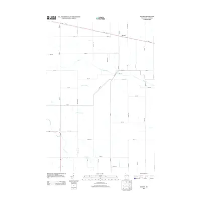 2013 Sherry2013 Print · USGSThe rural landscape of Wood County is captured here in the early 2010s, showing the settled crossroads and drainage of the Wisconsin heartland. Researchers can trace the local grid through named corridors like Vruwink Rd and Lundberg Rd or follow the waters of Mill Creek and Sherry.
 - 2015 Map of Sherry, 2015 Print
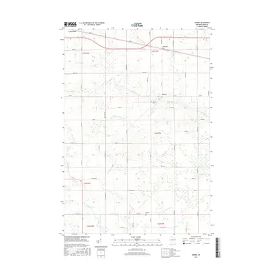 2015 Sherry2015 Print · USGSWood County’s agricultural heartland is detailed here in the mid-2010s, showing the rural communities between the Wisconsin River and the central plains. Researchers can locate family sites near Sherry and Blenker or trace the winding paths of Mill Creek and Moccasin Cr.
 - 2015 Map of Vesper, 2015 Print
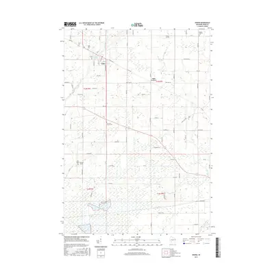 2015 Vesper2015 Print · USGSVesper and Wood County are captured here in the mid-2010s, showing a landscape of scattered rural settlements and significant cemetery sites. Researchers can trace family roots at Sigel Cem and Saint James Cem or follow the Wisconsin Central rail line.
 - 2015 Map of Wisconsin Rapids North, 2015 Print
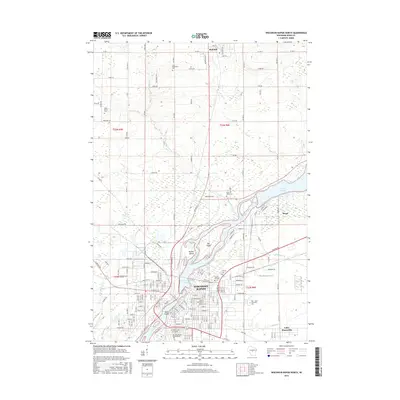 2015 Wisconsin Rapids North2015 Print · USGSWisconsin Rapids and the village of Rudolph appear here in the early twenty-first century, anchored by the wide path of the Wisconsin River. Researchers can locate several burial grounds including Saint Philomena Cem and Forest Hill Cem, or trace the development around Biron Flowage.
 - 2015 Map of Junction City, 2015 Print
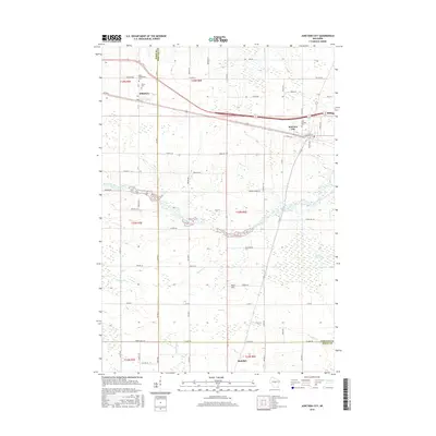 2015 Junction City2015 Print · USGSCentral Wisconsin's rural character is well-preserved in this modern survey of the Wood and Portage county line. Genealogists can trace family roots through Saint Wenceslaus Cemetery, Saint Michael Cemetery, and the villages of Junction City and Milladore.
 - 2018 Map of Vesper, 2018 Print
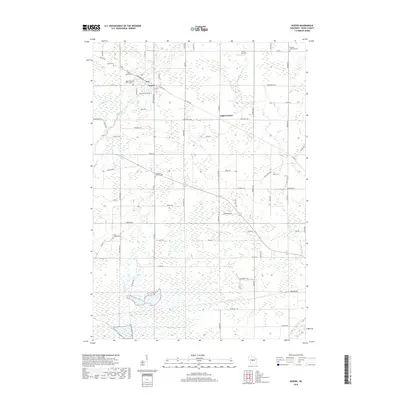 2018 Vesper2018 Print · USGSWisconsin's Wood County countryside is documented here in the late twenty-teens, showing the intersection of agricultural roots and modern infrastructure. Genealogists can trace family heritage through numerous landmarks like Faith Reformed Church Cem, Saint Josephs Cem, and Vesper.
 - 2018 Map of Junction City, 2018 Print
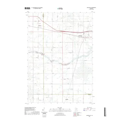 2018 Junction City2018 Print · USGSWood and Portage counties are captured here in the late 2010s, showcasing a rural landscape defined by rail lines and marshy lowlands. Genealogists can trace family landmarks like Saint Wenceslaus Cemetery and Union Cemetery near Milladore.
 - 2018 Map of Wisconsin Rapids North, 2018 Print
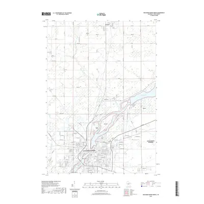 2018 Wisconsin Rapids North2018 Print · USGSWisconsin Rapids and the village of Biron appear here during the late 2010s, showing the developed riverfront and surrounding Wood County townships. Genealogists can locate several local cemeteries including Forest Hill Cem and Saint Johns Cem, alongside landmarks like Big Island in the Wisconsin River.
Showing maps 1-25 of 30
Top cities near Sigel
- Marshfield historical maps
- Wisconsin Rapids historical maps
- Nekoosa historical maps
- McMillan historical maps
- Port Edwards historical maps
- Knowlton historical maps
See more
Top neighborhoods of Sigel
Frequently asked questions
- What are the different types of historical maps available for Sigel?
- What is the oldest map of Sigel?
- Where can I purchase historical maps of Sigel for my home or office?
- Where can I download high-res historical maps of Sigel?
- Are there historical topographic maps available for Sigel?
- Is there historical aerial imagery available for Sigel?
- Where are historical maps of Sigel sourced from?