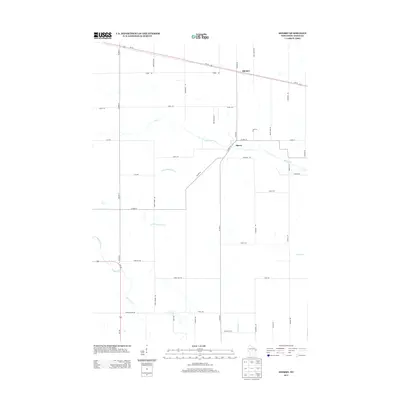
2013 Map of Sherry
USGS Topo · Published 2013About this map
Sherry and Blenker anchor this Central Wisconsin landscape, where the agricultural grid is defined by a dense network of country roads and winding watercourses. The drainage patterns of Wood County are clearly visible through the paths of Mill Creek and the multiple branches of Hemlock Cr, including the E Fork Hemlock Cr and N Fork Hemlock Cr. The map reveals a rural economy organized around transportation corridors like Us-10 and Wi-186, which connect these small settlements to the broader region. Local family names and histories are preserved in the road designations, such as Lundberg Rd, Vruwink Rd, and Lobner Rd, providing a detailed look at the land ownership and community structure of the early 21st century.
Find a feature on this map
46 named features on this map. Tap any name to fly to it.
Don’t see what you’re looking for? This feature index may not catch every label — zoom into the map to look around manually.
Map Details
Editions of this 2013 Sherry Map
This is the sole edition of this map. No revisions or reprints were ever made.
Other maps of this area

1953 · Eau Claire
USGS Topo · 1:250,000

1954 · Marshfield
USGS Topo · 1:62,500

1955 · Green Bay
USGS Topo · 1:250,000

1956 · Milladore
USGS Topo · 1:48,000

1957 · Wisconsin Rapids
USGS Topo · 1:48,000

1957 · Pittsville
USGS Topo · 1:48,000

1958 · Eau Claire
USGS Topo · 1:250,000

1964 · Eau Claire
USGS Topo · 1:250,000

1967 · Wisconsin Rapids
USGS Topo · 1:62,500

1967 · Pittsville
USGS Topo · 1:62,500