Old Maps of Collins Place, Wyoming for Hiking & Exploration
Hike through history with 11 historic maps of Collins Place. Explore old trails, ghost towns, and forgotten backroads — perfect for outdoor adventurers and local explorers.
- Rediscover forgotten places: Map out old mining camps, roads, and footpaths that no longer exist on modern maps.
- Layer with modern tools: Combine with LiDAR or satellite views to plan hikes through historical terrain.
- Made for exploration: Popular among hikers, overlanders, and local history lovers.
Use these maps to find adventure and explore the hidden past of Collins Place.
Collins Place, WY maps
(11)- 1904 Map of Kirwin, 1957 Print
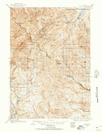 1904 Kirwin1957 Print · USGSHigh-country mining and ranching define this region of the Absaroka Range at the turn of the century. Genealogists can trace family holdings like Double Diamond Ranch and Antler Ranch, or the high-altitude mining outpost at Kirwin.
 - 1906 Map of Kirwin
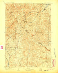 1906 Kirwin1906 Print · USGSThe Absaroka Mountains and upper Wind River country are shown here in the early nineteen-hundreds during a period of active prospecting. Researchers can find old mining sites like the Gold Reef Tunnel and remote ranching hubs such as Kirwin and the Double Diamond Ranch.2 unique versions available
 - 1955 Map of Thermopolis, 1969 Print
 1955 Thermopolis1969 Print · USGSMid-century Wyoming comes alive in this survey of the Wind River basin and the high Absaroka peaks. Trace the roots of oil and water development through the Hamilton Dome Oil Field and the Boysen Reservoir, or locate local landmarks like the Wyoming Industrial Institute and St. Stephens.2 unique versions available
 - 1958 Map of Thermopolis
 1958 Thermopolis1958 Print · USGSThe Bighorn Basin and Wind River Reservation are shown here in the late fifties, during a period of significant petroleum and agricultural growth. Genealogists and historians can trace rail-towns like Gebo, energy hubs like the Hamilton Dome Oil Field, and the layout of Fort Washakie.2 unique versions available
 - 1962 Map of Thermopolis
 1962 Thermopolis1962 Print · USGSThe Wind River and Bighorn basins are meticulously mapped in the early sixties, showing the vital irrigation and rail networks of the era. Genealogists and historians can locate specific landmarks like the Duncan Ranch School, the Wyoming Industrial Institute, and the Hamilton Dome oil field.
 - 1967 Map of Circle Ridge, 1971 Print
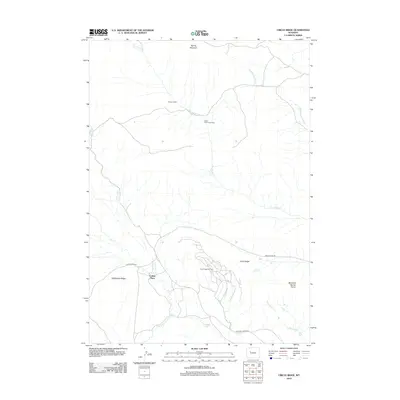
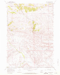 1967 Circle Ridge1971 Print · USGSOil extraction and high-country ranching define this portion of the Wind River Indian Reservation during the late sixties. Researchers can trace the industrial footprint of the Circle Ridge Oil Field alongside seasonal sites like Vincent Cabin and Porter Cabin Cow Camp.2 unique versions available
 - 1978 Map of The Ramshorn, 1979 Print
 1978 The Ramshorn1979 Print · USGSHigh Wyoming mountain country during the late seventies centers on the junction at Dubois, where the Wind River carves through the landscape. Researchers can trace the high-country drainages of the Yellowstone River or locate remote landmarks like Kirwin and Brooks Lake.2 unique versions available
 - 2012 Map of Circle Ridge, 2012 Print
 2012 Circle Ridge2012 Print · USGSCovers Collins Place, including Fremont County, Hot Springs County, and other nearby areas
 - 2015 Map of Circle Ridge, 2015 Print
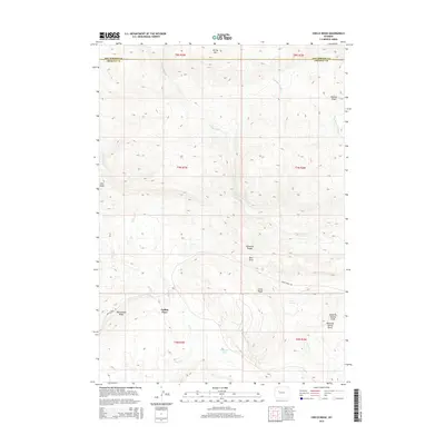 2015 Circle Ridge2015 Print · USGSCovers Collins Place, including Fremont County, Hot Springs County, and other nearby areas
 - 2017 Map of Circle Ridge, 2017 Print
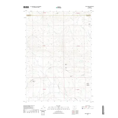 2017 Circle Ridge2017 Print · USGSCovers Collins Place, including Fremont County, Hot Springs County, and other nearby areas
 - 2021 Map of Circle Ridge, 2021 Print
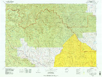
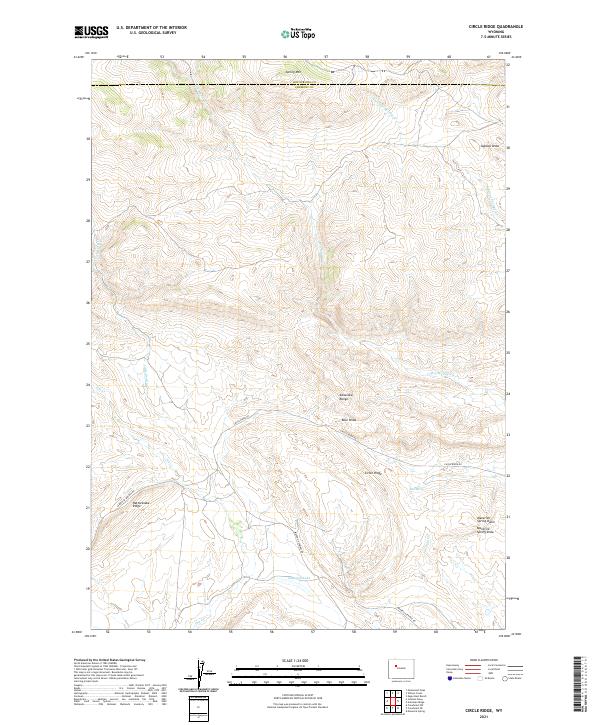 2021 Circle Ridge2021 Print · USGSThe high country of the Fremont and Hot Springs county line is captured in the early 2020s, showing a landscape defined by ranching and resource access. Researchers can trace the winding Maverick Springs Rd past Maverick Spring Dome and Kanaugh Lake.
End of results
Showing maps 1-11 of 11
Frequently asked questions
- What are the different types of historical maps available for Collins Place?
- What is the oldest map of Collins Place?
- Where can I purchase historical maps of Collins Place for my home or office?
- Where can I download high-res historical maps of Collins Place?
- Are there historical topographic maps available for Collins Place?
- Is there historical aerial imagery available for Collins Place?
- Where are historical maps of Collins Place sourced from?