Old Maps of Kinnear, Wyoming for Academic Research
Study the evolution of Kinnear with 9 high-resolution historic maps. Whether you're teaching, researching, or modeling changes in land use, these maps provide essential visual documentation of urban, environmental, and geographic change.
- Analyze long-term change: Track patterns in development, transportation, and natural features.
- Ideal for environmental or urban studies: Support academic projects with primary historical map data.
- Use in the classroom or lab: Educators and researchers rely on these maps to bring historical context to life.
These maps are a powerful tool for teaching, research, and visualizing how Kinnear has changed over the decades.
Kinnear, WY maps
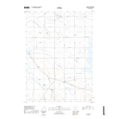
(9)- 1950 Map of Pavillion, 1952 Print
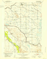 1950 Pavillion1952 Print · USGSMid-century Fremont County shows the transformation of the high plains through the massive Riverton Reclamation Project. Genealogists can locate family landmarks like the Grave of M B Kinnear, Morton School, and the settlement of Pavillion.
 - 1955 Map of Thermopolis, 1969 Print
 1955 Thermopolis1969 Print · USGSMid-century Wyoming comes alive in this survey of the Wind River basin and the high Absaroka peaks. Trace the roots of oil and water development through the Hamilton Dome Oil Field and the Boysen Reservoir, or locate local landmarks like the Wyoming Industrial Institute and St. Stephens.2 unique versions available
 - 1958 Map of Thermopolis
 1958 Thermopolis1958 Print · USGSThe Bighorn Basin and Wind River Reservation are shown here in the late fifties, during a period of significant petroleum and agricultural growth. Genealogists and historians can trace rail-towns like Gebo, energy hubs like the Hamilton Dome Oil Field, and the layout of Fort Washakie.2 unique versions available
 - 1958 Map of Pavillion, 1959 Print
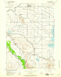 1958 Pavillion1959 Print · USGSFremont County's irrigation landscape comes into focus in the late fifties, showing the growth of Pavillion and the vast Riverton Reclamation Project. Trace family history at Aragon Cem or locate the Grave of K B Kinnear.2 unique versions available
 - 1962 Map of Thermopolis
 1962 Thermopolis1962 Print · USGSThe Wind River and Bighorn basins are meticulously mapped in the early sixties, showing the vital irrigation and rail networks of the era. Genealogists and historians can locate specific landmarks like the Duncan Ranch School, the Wyoming Industrial Institute, and the Hamilton Dome oil field.
 - 2012 Map of Pavillion, 2012 Print
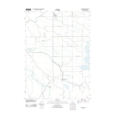 2012 Pavillion2012 Print · USGSCovers Kinnear, including Pavillion, Fremont County, and other nearby areas
 - 2015 Map of Pavillion, 2015 Print
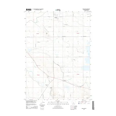 2015 Pavillion2015 Print · USGSCovers Kinnear, including Pavillion, Fremont County, and other nearby areas
 - 2017 Map of Pavillion, 2017 Print
 2017 Pavillion2017 Print · USGSCovers Kinnear, including Pavillion, Fremont County, and other nearby areas
 - 2021 Map of Pavillion, 2021 Print
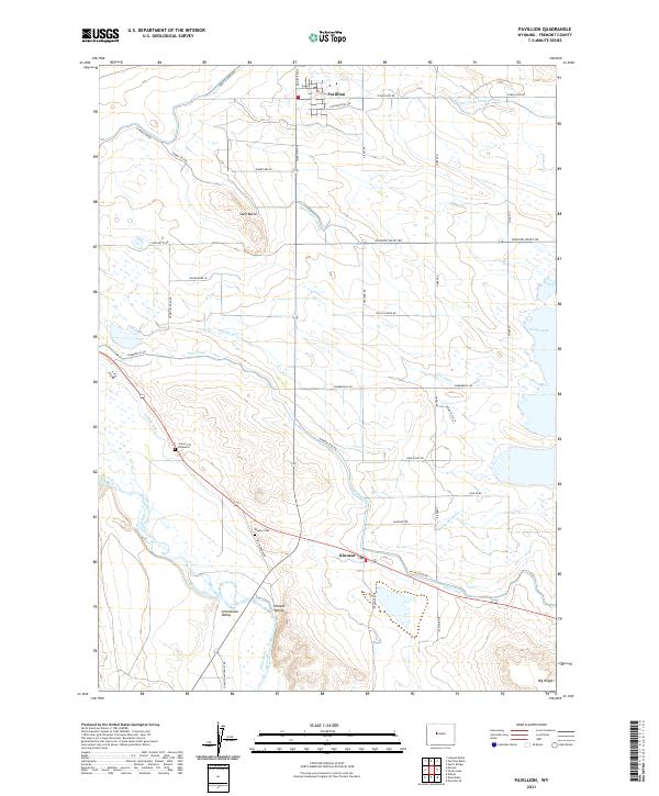 2021 Pavillion2021 Print · USGSSettlement and irrigation intersect in the Wind River Basin during the early twenty-first century. Genealogists and historians can trace the local legacy through landmarks like the Grave of N B Kinnear and the Aragon Cem near the town of Kinnear.
End of results
Showing maps 1-9 of 9
Top cities near Kinnear
- Riverton historical maps
- Fort Washakie historical maps
- Ethete historical maps
- Pavillion historical maps
Frequently asked questions
- What are the different types of historical maps available for Kinnear?
- What is the oldest map of Kinnear?
- Where can I purchase historical maps of Kinnear for my home or office?
- Where can I download high-res historical maps of Kinnear?
- Are there historical topographic maps available for Kinnear?
- Is there historical aerial imagery available for Kinnear?
- Where are historical maps of Kinnear sourced from?