Old Maps of Shoshoni, Wyoming for Hiking & Exploration
Hike through history with 20 historic maps of Shoshoni. Explore old trails, ghost towns, and forgotten backroads — perfect for outdoor adventurers and local explorers.
- Rediscover forgotten places: Map out old mining camps, roads, and footpaths that no longer exist on modern maps.
- Layer with modern tools: Combine with LiDAR or satellite views to plan hikes through historical terrain.
- Made for exploration: Popular among hikers, overlanders, and local history lovers.
Use these maps to find adventure and explore the hidden past of Shoshoni.
Shoshoni, WY maps
(20)- 1951 Map of Hidden Valley, 1953 Print
 1951 Hidden Valley1953 Print · USGSCentral Wyoming's river-driven development is on full display in the early fifties, showcasing the intricate irrigation networks of the Wind River Indian Reservation. Researchers can trace the path of the Chicago and Northwestern railroad and locate landmarks like the Valley View Store and Water Tank Hill.
 - 1951 Map of Bonneville, 1953 Print
 1951 Bonneville1953 Print · USGSFremont County settlement and industry are centered on the railroad junction at Bonneville in the early 1950s. Researchers can trace the intersection of the Chicago Burlington and Quincy and the Chicago and North Western near Siddons.
 - 1951 Map of Shoshoni, 1953 Print
 1951 Shoshoni1953 Print · USGSShoshoni sits at a vital railroad junction in the early fifties, serving as a hub for the Chicago and North Western line. Researchers can trace the Carver Homestead and water sources like Muskrat Creek and Dry Cheyenne Creek.2 unique versions available
 - 1955 Map of Thermopolis, 1969 Print
 1955 Thermopolis1969 Print · USGSMid-century Wyoming comes alive in this survey of the Wind River basin and the high Absaroka peaks. Trace the roots of oil and water development through the Hamilton Dome Oil Field and the Boysen Reservoir, or locate local landmarks like the Wyoming Industrial Institute and St. Stephens.2 unique versions available
 - 1957 Map of Hidden Valley, 1958 Print
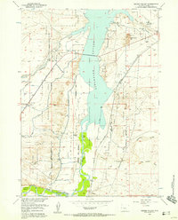 1957 Hidden Valley1958 Print · USGSThe Wind River Indian Reservation and the Boysen Reservoir define this Wyoming landscape in the late fifties. Researchers can trace the region's development through the Chicago and North Western tracks, Lake View Cemetery, and the Valley View Store.2 unique versions available
 - 1957 Map of Bonneville, 1958 Print
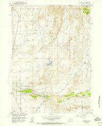 1957 Bonneville1958 Print · USGSRailroad operations and water management define this Fremont County corridor in the late fifties. Genealogists and rail historians can trace the junction of the Chicago Burlington and Quincy near Bonneville and the Ford stop.3 unique versions available
 - 1958 Map of Thermopolis
 1958 Thermopolis1958 Print · USGSThe Bighorn Basin and Wind River Reservation are shown here in the late fifties, during a period of significant petroleum and agricultural growth. Genealogists and historians can trace rail-towns like Gebo, energy hubs like the Hamilton Dome Oil Field, and the layout of Fort Washakie.2 unique versions available
 - 1962 Map of Thermopolis
 1962 Thermopolis1962 Print · USGSThe Wind River and Bighorn basins are meticulously mapped in the early sixties, showing the vital irrigation and rail networks of the era. Genealogists and historians can locate specific landmarks like the Duncan Ranch School, the Wyoming Industrial Institute, and the Hamilton Dome oil field.
 - 2012 Map of Shoshoni, 2012 Print
 2012 Shoshoni2012 Print · USGSShoshoni and the surrounding Fremont County plains are captured here in the early twenty-first century, showing the intersection of town life and ranching tradition. Researchers can trace local street grids, the Shoshoni Municipal Airport, and rural routes like Davison Ranch Rd.
 - 2012 Map of Bonneville, 2012 Print
 2012 Bonneville2012 Print · USGSFremont County settlement and aviation history are captured here in the early twenty-first century. Researchers can trace the layout of Bonneville near Badwater Cr or locate the Shoshoni Municipal Airport and Bonneville Reservoir.
 - 2012 Map of Hidden Valley, 2012 Print
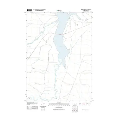 2012 Hidden Valley2012 Print · USGSFremont County settlement and water management come into focus in the early twenty-first century as the desert landscape meets the high water mark. Researchers can trace family history at Lake View Cem or follow the paths of Poison Cr and Horsethief Gulch.
 - 2015 Map of Hidden Valley, 2015 Print
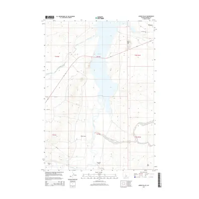 2015 Hidden Valley2015 Print · USGSFremont County, Wyoming, is captured here in the mid-2010s, centered on the strategic confluence of the Wind River and Boysen Reservoir. You can trace the rural landscape from Shoshoni down to the namesake Hidden Valley, spotting local landmarks like Lake View Cem and Horsethief Gulch.
 - 2015 Map of Bonneville, 2015 Print
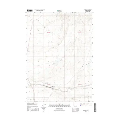 2015 Bonneville2015 Print · USGSFremont County, Wyoming, is mapped here during the early twenty-first century, centered on the ranching and transit hub of Bonneville. Researchers can trace the water-management infrastructure and rural road networks including Quien Sabe Rd and the Shoshoni Airport.
 - 2015 Map of Shoshoni, 2015 Print
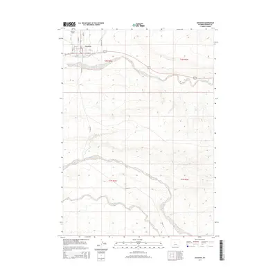 2015 Shoshoni2015 Print · USGSThe high-desert settlement of Shoshoni is captured here in the mid-2010s, showing its organized town grid and the surrounding ranchlands. Genealogists and researchers can trace local landmarks like Shoshoni Airport, the Picard Ranch, and the winding course of Poison Creek.
 - 2017 Map of Hidden Valley, 2017 Print
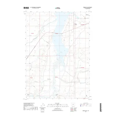 2017 Hidden Valley2017 Print · USGSShoshoni and the surrounding Wyoming basins are mapped here in the late 2010s as the high desert landscape meets the waters of the Wind River. Genealogists and local researchers can locate Lake View Cem or trace the rural routes connecting Hidden Valley and Riverton Valley.
 - 2017 Map of Shoshoni, 2017 Print
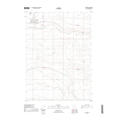 2017 Shoshoni2017 Print · USGSShoshoni and the surrounding Fremont County basin are captured here in the early twenty-first century, showing the town at a significant transportation crossroads. Researchers can trace the local street grid and airport or follow rural routes like Davison Ranch Rd and Muskrat Rd across the drainages of Poison Creek.
 - 2017 Map of Bonneville, 2017 Print
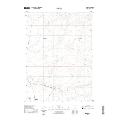 2017 Bonneville2017 Print · USGSFremont County settlement and high-country ranching are captured here in the years following the turn of the millennium. Researchers can trace the local road network and water sources including Picard Ranch, Bonneville Reservoir, and the town of Shoshoni.
 - 2021 Map of Bonneville, 2021 Print
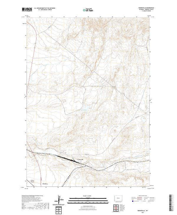 2021 Bonneville2021 Print · USGSThe Fremont County high desert comes into focus in the early 2020s, showing a landscape defined by ranching and transit. Trace the local geography around Bonneville, the Shoshoni Municipal Airport, and the waters of Badwater Creek.
 - 2021 Map of Shoshoni, 2021 Print
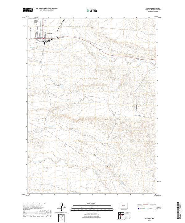 2021 Shoshoni2021 Print · USGSShoshoni and the surrounding Fremont County ranchlands are documented here in the early twenty-first century. Researchers can trace the town grid and outlying landmarks like the Shoshoni Municipal Airport, Poison Creek, and Bonneville Rd.
 - 2021 Map of Hidden Valley, 2021 Print
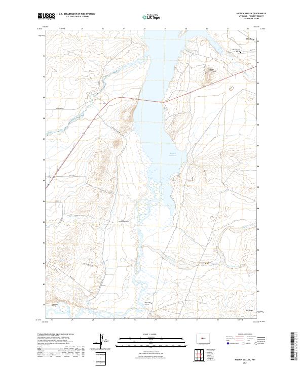 2021 Hidden Valley2021 Print · USGSFremont County settlement and water management are on full display in this recent Wyoming survey. Genealogists and local historians can trace family-named routes and landmarks like Lake View Cem, Horsethief Gulch, and the rural community of Shoshoni.
End of results
Showing maps 1-20 of 20
Top cities near Shoshoni
Frequently asked questions
- What are the different types of historical maps available for Shoshoni?
- What is the oldest map of Shoshoni?
- Where can I purchase historical maps of Shoshoni for my home or office?
- Where can I download high-res historical maps of Shoshoni?
- Are there historical topographic maps available for Shoshoni?
- Is there historical aerial imagery available for Shoshoni?
- Where are historical maps of Shoshoni sourced from?