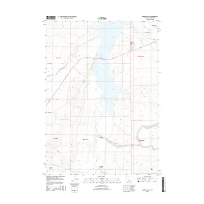
2015 Map of Hidden Valley
USGS Topo · Published 2015About this map
Boysen Reservoir dominates this central Wyoming landscape, where the Wind River and several major tributaries converge. In the northeastern corner, the settlement of Shoshoni stands near the Lake View Cem, marking a point of transition between the irrigated valley floors and the arid uplands of Big Ridge. The map details a complex network of waterways, including Fivemile Creek, Muskrat Creek, and Dry Cheyenne Creek, which have shaped the local topography and human settlement patterns.
Find a feature on this map
23 named features on this map. Tap any name to fly to it.
Don’t see what you’re looking for? This feature index may not catch every label — zoom into the map to look around manually.
Map Details
Editions of this 2015 Hidden Valley Map
This is the sole edition of this map. No revisions or reprints were ever made.
Other maps of this area
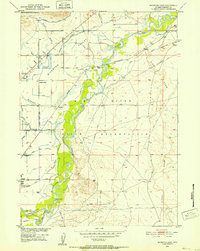
1950 · Riverton East
USGS Topo · 1:24,000
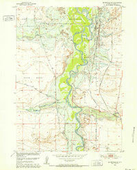
1950 · Bonneville SW
USGS Topo · 1:24,000
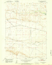
1951 · Mexican Pass SE
USGS Topo · 1:24,000
1951 · Fuller Reservoir
USGS Topo · 1:24,000
1951 · Indian Butte
USGS Topo · 1:24,000
1951 · Hidden Valley
USGS Topo · 1:24,000
1951 · Bonneville
USGS Topo · 1:24,000
1951 · Shoshoni
USGS Topo · 1:24,000
1952 · Riverton NE
USGS Topo · 1:24,000
1955 · Thermopolis
USGS Topo · 1:250,000