Old Maps of Antelope Hills, Wyoming for Metal Detecting
Plan your next treasure hunt with 9 historic maps of Antelope Hills. Find old homesites, ghost towns, trails, and gathering spots that may be lost to time — perfect for identifying promising metal detecting locations.
- Locate forgotten sites: Uncover places like long-lost settlements, abandoned rail lines, or gathering spots.
- Plan better hunts: Use map overlays combined with LiDAR or satellite views to narrow in on historically rich areas.
- Made for detectorists: Thousands of hobbyists use these maps to discover relics, coins, and hidden history.
Use these historic maps to boost your research and find new opportunities beneath the surface of Antelope Hills.
Antelope Hills, WY maps
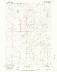
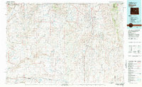
(9)- 1955 Map of Arminto, 1976 Print
 1955 Arminto1976 Print · USGSCentral Wyoming at the mid-century shows a landscape of energy reserves and high-plains ranching. Genealogists and historians can trace the Burlington Northern line through Lost Cabin and the famed Teapot Dome Naval Petroleum Reserve No 3.2 unique versions available
 - 1958 Map of Arminto
 1958 Arminto1958 Print · USGSCentral Wyoming in the late fifties was a landscape of high-plains energy and remote rail outposts. Researchers can trace the Chicago Burlington and Quincy railroad through towns like Arminto and Waltman or locate landmarks like Teapot Rock.
 - 1962 Map of Arminto
 1962 Arminto1962 Print · USGSCentral Wyoming in the early sixties reveals a landscape shaped by the Chicago and North Western railroad and early energy development. Trace the history of the region through remote outposts like Arminto, the US Naval Petroleum Reserve, and the geologic landmark at Hells Half Acre.
 - 1968 Map of Mc Pherson Draw, 1972 Print
 1968 Mc Pherson Draw1972 Print · USGSNatrona County in the late sixties reveals a high-plains landscape defined by the growing Wyoming energy sector. Researchers can trace the industrial footprint of the era through sites like Seventeenmile Well, Mc Pherson Draw, and various Oil Wells.2 unique versions available
 - 1981 Map of Midwest
 1981 Midwest1981 Print · USGSThe energy-rich plains of central Wyoming are mapped here during the early eighties, highlighting the massive Salt Creek Oil Field. Local historians can trace the rail lines of the Burlington Northern Railroad and locate landmarks like Teapot Rock and the town of Midwest.
 - 2012 Map of McPherson Draw, 2012 Print
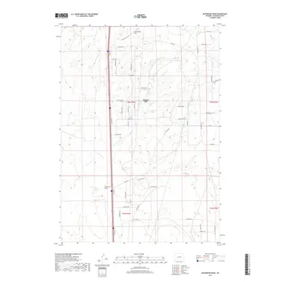
 2012 McPherson Draw2012 Print · USGSCovers Antelope Hills, including Natrona County, United States, and other nearby areas
 - 2015 Map of McPherson Draw, 2015 Print
 2015 McPherson Draw2015 Print · USGSCovers Antelope Hills, including Natrona County, United States, and other nearby areas
 - 2017 Map of McPherson Draw, 2017 Print
 2017 McPherson Draw2017 Print · USGSCovers Antelope Hills, including Natrona County, United States, and other nearby areas
 - 2021 Map of McPherson Draw, 2021 Print
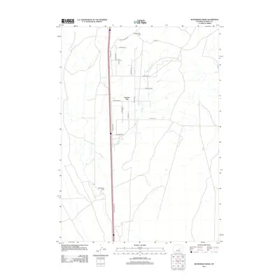
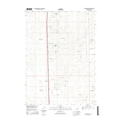
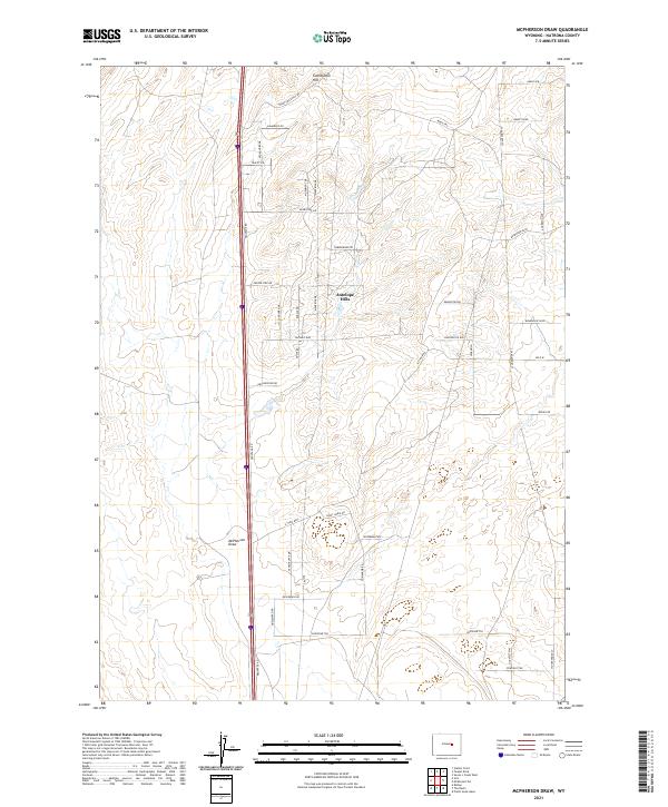 2021 McPherson Draw2021 Print · USGSNatrona County in the early 2020s shows a landscape of expansive hills and modern rural development. Trace the local road network and geography around McPherson Draw, including Antelope Hills and the winding Crazy Horse Rd.
End of results
Showing maps 1-9 of 9
Top cities near Antelope Hills
- Casper historical maps
- Mills historical maps
- Bar Nunn historical maps
- Evansville historical maps
- Vista West historical maps
- Hartrandt historical maps
See more
Frequently asked questions
- What are the different types of historical maps available for Antelope Hills?
- What is the oldest map of Antelope Hills?
- Where can I purchase historical maps of Antelope Hills for my home or office?
- Where can I download high-res historical maps of Antelope Hills?
- Are there historical topographic maps available for Antelope Hills?
- Is there historical aerial imagery available for Antelope Hills?
- Where are historical maps of Antelope Hills sourced from?