Old Maps of Canyon Village, Wyoming for Academic Research
Study the evolution of Canyon Village with 16 high-resolution historic maps. Whether you're teaching, researching, or modeling changes in land use, these maps provide essential visual documentation of urban, environmental, and geographic change.
- Analyze long-term change: Track patterns in development, transportation, and natural features.
- Ideal for environmental or urban studies: Support academic projects with primary historical map data.
- Use in the classroom or lab: Educators and researchers rely on these maps to bring historical context to life.
These maps are a powerful tool for teaching, research, and visualizing how Canyon Village has changed over the decades.
Canyon Village, WY maps
(16)- 1886 Map of Canyon
 1886 Canyon1886 Print · USGSThe Grand Canyon of the Yellowstone area appears here in the late nineteenth century, just over a decade after the park's founding. Modern researchers can locate early landmarks like Yanceys, the Baronette Bridge, and the site of the Fossil Forest.
 - 1895 Map of Canyon
 1895 Canyon1895 Print · USGSYellowstone's early park architecture and geothermal wonders are captured here in the late nineteenth century. Trace early routes past the Baronett Bridge, the Hotel on the lake, and the storied settlement at Yanceys.
 - 1896 Map of Canyon
 1896 Canyon1896 Print · USGSYellowstone National Park is documented in the mid-1890s, capturing the early landmarks and hydrothermal features of the canyon country. Trace the early outposts at Yanceys or the Hotel and locate thermal sites like Calcite Springs and the Fossil Forest.2 unique versions available
 - 1901 Map of Canyon
 1901 Canyon1901 Print · USGSYellowstone's northeast wilderness appears at the dawn of the twentieth century, detailing the park's early infrastructure and raw geothermal wonders. Researchers can trace the original locations of Yanceys, Baronett Bridge, and unique curiosities like the Fossil Forest.
 - 1907 Map of Canyon
 1907 Canyon1907 Print · USGSYellowstone during the early years of the National Park Service era showcases a landscape defined by geothermal wonders and frontier outposts. Trace the early tourism routes past Yanceys and the Mushpots or locate historic features like Baronett Bridge.
 - 1911 Map of Canyon
 1911 Canyon1911 Print · USGSYellowstone National Park is captured here in the early twentieth century as a fledgling wilderness preserve. Researchers can trace the early road system including the Cooke Road and find historic sites like Yanceys, the Canyon Hotel, and Fishing Bridge.6 unique versions available
 - 1955 Map of Ashton, 1967 Print
 1955 Ashton1967 Print · USGSThe Greater Yellowstone ecosystem is captured here during the mid-1950s, showing the high plateaus and remote gateway towns of Idaho and Montana. Researchers can trace the Union Pacific line to Ashton or locate small settlements like Squirrel and Grainville.4 unique versions available
 - 1958 Map of Ashton
 1958 Ashton1958 Print · USGSGreater Yellowstone and the eastern Idaho borderlands appear here in the mid-1950s as rail and road networks connected remote mountain basins. Trace the Union Pacific route through Ashton or locate early outposts like Last Chance, Squirrel, and West Yellowstone.
 - 1959 Map of Canyon Village, 1960 Print
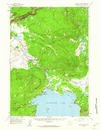 1959 Canyon Village1960 Print · USGSYellowstone's central interior is captured in the late fifties, showcasing the early hospitality centers and thermal landmarks of the national park. Researchers can trace mid-century tourism routes through Canyon Village, Lake Hotel, and the famed Inspiration Point.2 unique versions available
 - 1960 Map of Ashton
 1960 Ashton1960 Print · USGSThe Idaho-Montana-Wyoming borderlands at the dawn of the sixties show a landscape defined by the Continental Divide and early wilderness tourism. Genealogists and historians can trace rail-stop settlements like Trude Siding, old outposts like Warm River, and early lodging at Snowball Inn.
 - 1983 Map of Yellowstone National Park North
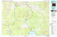 1983 Yellowstone National Park North1983 Print · USGSThe northern wilderness of Wyoming and Montana is captured here in the early eighties, documenting the geothermal landmarks and early visitor infrastructure. Trace the historic paths of the Howard Eaton Trail or locate park icons like Mammoth Hot Springs and the Lake Hotel.
 - 1986 Map of Canyon Village
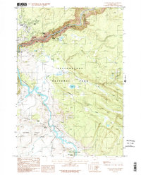 1986 Canyon Village1986 Print · USGSYellowstone's central canyon country and hydrothermal basins are captured here in the mid-1980s. Hikers and historians can trace the Pack Trail system past Artist Point to thermal wonders like Sulphur Caldron and Dragons Mouth Spring.
 - 2012 Map of Canyon Village, 2012 Print
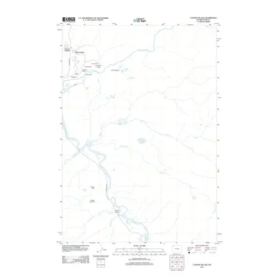 2012 Canyon Village2012 Print · USGSCanyon Village and the Grand Canyon of the Yellowstone are documented here during the early twenty-first century. Outdoor enthusiasts and historians can locate iconic viewpoints like Artist Point and geothermal curiosities such as Dragons Mouth Spring.
 - 2015 Map of Canyon Village, 2015 Print
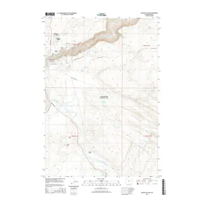 2015 Canyon Village2015 Print · USGSThe heart of the Wyoming plateau comes alive in this modern survey of the canyon country and thermal basins. Researchers can trace the extensive trail network and geological landmarks from Artist Point and Inspiration Point to the steaming Mud Pots.
 - 2017 Map of Canyon Village, 2017 Print
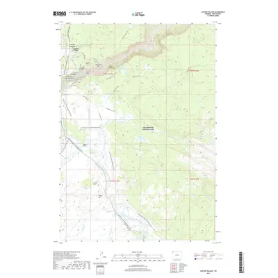 2017 Canyon Village2017 Print · USGSYellowstone National Park's iconic hydrothermal and canyon landscapes are documented in this recent survey. Researchers can trace the paths of the Howard Eaton Trail or locate unique geological features like Dragons Mouth Spring and Sulphur Caldron.
 - 2021 Map of Canyon Village, 2021 Print
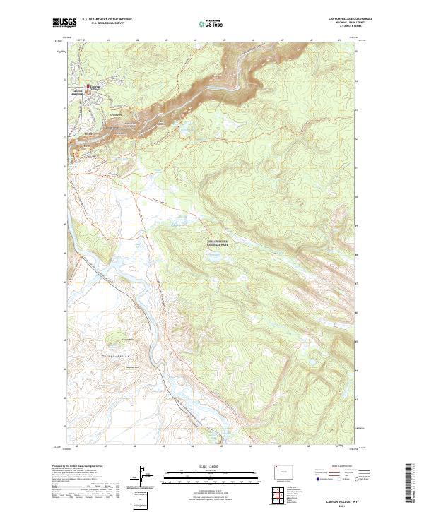 2021 Canyon Village2021 Print · USGSYellowstone National Park in the modern era reveals a landscape shaped by geothermal power and iconic canyon vistas. Researchers and travelers can trace established routes like the North Rim Drive to find landmarks such as Artist Point, Sulphur Spring, and Canyon Village.
End of results
Showing maps 1-16 of 16
Frequently asked questions
- What are the different types of historical maps available for Canyon Village?
- What is the oldest map of Canyon Village?
- Where can I purchase historical maps of Canyon Village for my home or office?
- Where can I download high-res historical maps of Canyon Village?
- Are there historical topographic maps available for Canyon Village?
- Is there historical aerial imagery available for Canyon Village?
- Where are historical maps of Canyon Village sourced from?