Old Maps of Elkhorn Junction, Wyoming for Genealogy
Trace your family roots with 10 historic maps of Elkhorn Junction. These high-res maps reveal old neighborhoods, homesites, landmarks, and streets — helping you uncover where your ancestors lived and how the area evolved over time.
- Explore historic neighborhoods: Identify where your relatives may have lived in the 1800s or 1900s.
- Compare maps over time: Trace the changes in streets, buildings, and landmarks for multi-generational research.
- Perfect for genealogy & ancestry research: Used by family historians and researchers to map out lineage and migration.
These maps are an incredible resource for exploring your personal connection to Elkhorn Junction's past.
Elkhorn Junction, WY maps
(10)- 1955 Map of Lander, 1976 Print
 1955 Lander1976 Print · USGSMid-century central Wyoming is captured here as a landscape of high alpine wilderness and burgeoning energy development. Genealogists and historians can trace the path of the Oregon Trail or locate early industrial sites like the Big Sand Draw Oil and Gas Field and the State Training School.2 unique versions available
 - 1958 Map of Lander
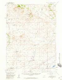
 1958 Lander1958 Print · USGSThe high peaks of the Wind River Range meet the Great Divide Basin in the 1950s. Researchers can trace historic migrations past the Oregon Trail Monument or locate early energy infrastructure at the Beaver Creek Gas and Oil Field and the Oregon Trail Oil Field.
 - 1958 Map of Parting of the Ways, 1960 Print
 1958 Parting of the Ways1960 Print · USGSSouthwestern Wyoming’s high desert was the crossroads of the westward expansion in the late fifties. Trace the legendary Parting of the Ways, the Dry Sandy Stage and Pony Express Sta Site, and the Sublette Cutoff.2 unique versions available
 - 1961 Map of Lander
 1961 Lander1961 Print · USGSThe high peaks and desert basins of central Wyoming appear here in the early sixties, showing the landscape of the Shoshone Indian Reservation and the Wind River Range. Researchers can trace the path of the Oregon Trail and locate early settlements like Lander and the mining remains at South Pass City.2 unique versions available
 - 1980 Map of Farson, 1981 Print
 1980 Farson1981 Print · USGSSettlement in the high desert of Sweetwater County is centered on Farson and Eden during the 1980s. Researchers can trace the path of the Dry Sandy Stage and Pony Express Sta (Site) and explore the vast Sand Dunes near Steamboat Rim.
 - 1986 Map of Prospect Mountains
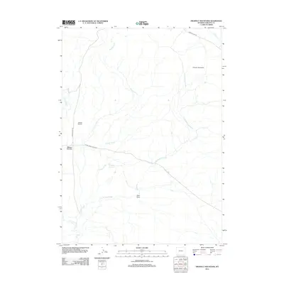
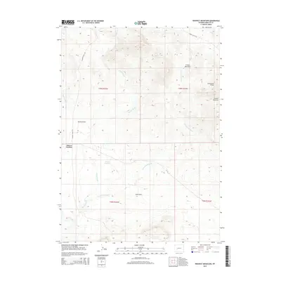
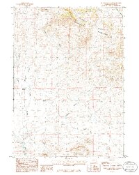 1986 Prospect Mountains1986 Print · USGSSublette County ranching and water management are recorded in the mid-eighties as they intersect with the Continental Divide. Researchers can trace the path of the Elkhorn Ditch and locate landmarks like Elkhorn Junction and Prospect Reservoir.
 - 2012 Map of Prospect Mountains, 2012 Print
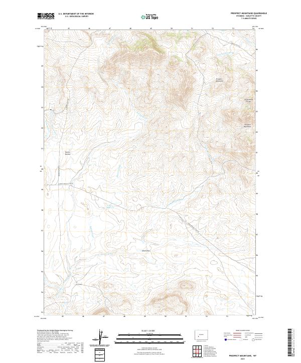
 2012 Prospect Mountains2012 Print · USGSCovers Elkhorn Junction, including Sublette County, United States, and other nearby areas
 - 2015 Map of Prospect Mountains, 2015 Print
 2015 Prospect Mountains2015 Print · USGSCovers Elkhorn Junction, including Sublette County, United States, and other nearby areas
 - 2017 Map of Prospect Mountains, 2017 Print
 2017 Prospect Mountains2017 Print · USGSCovers Elkhorn Junction, including Sublette County, United States, and other nearby areas
 - 2021 Map of Prospect Mountains, 2021 Print
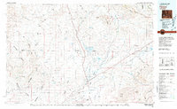
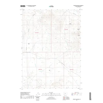
 2021 Prospect Mountains2021 Print · USGSThe high plains of Sublette County appear here as a landscape shaped by historic migration routes and high-altitude ranching. Trace the path of the famous Lander Cutoff Rd and Lander Pinedale Stage Rd as they cross near Rollins Bottom.
End of results
Showing maps 1-10 of 10
Frequently asked questions
- What are the different types of historical maps available for Elkhorn Junction?
- What is the oldest map of Elkhorn Junction?
- Where can I purchase historical maps of Elkhorn Junction for my home or office?
- Where can I download high-res historical maps of Elkhorn Junction?
- Are there historical topographic maps available for Elkhorn Junction?
- Is there historical aerial imagery available for Elkhorn Junction?
- Where are historical maps of Elkhorn Junction sourced from?