
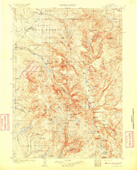
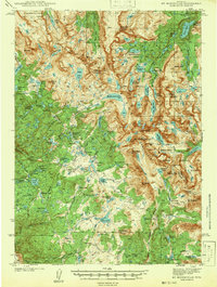
1958 Map of Lander
USGS Topo · Published 1958About this map
The Wind River Range dominates this mid-century landscape, where the Continental Divide separates the high peaks of the Shoshone National Forest from the vast Great Divide Basin to the south. Near the northern edge, the settlement of Lander serves as a focal point for the region, bordered by the Wind River Indian Reservation where the U S Government Indian Day School is located. The map reveals a transition from the alpine wilderness of Mt Bonneville and Temple Peak to the burgeoning industrial activity of the high desert.
Find a feature on this map
99 named features on this map. Tap any name to fly to it.
Don’t see what you’re looking for? This feature index may not catch every label — zoom into the map to look around manually.
Map Details
Editions of this 1958 Lander Map
This is the sole edition of this map. No revisions or reprints were ever made.
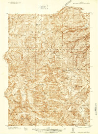
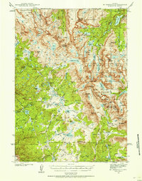
Other maps of this area

1907 · Gros Ventre
USGS Topo · 1:125,000
1909 · Fremont Peak
USGS Topo · 1:125,000

1910 · Gros Ventre
USGS Topo · 1:125,000
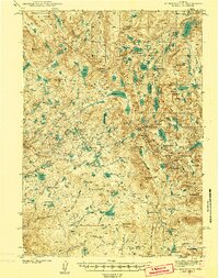
1937 · Moccasin Lake
USGS Topo · 1:48,000
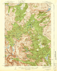
1938 · Mt Bonneville
USGS Topo · 1:62,500
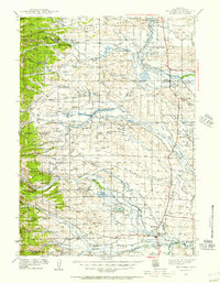
1939 · Big Piney
USGS Topo · 1:125,000
1941 · Mt Bonneville
USGS Topo · 1:62,500
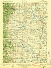
1942 · Big Piney
USGS Topo · 1:125,000
1942 · Mt Bonneville
USGS Topo · 1:62,500
1943 · Moccasin Lake
USGS Topo · 1:62,500