1980s Maps of Sweetwater County, Wyoming
Explore 67 historic maps of Sweetwater County from the 1980s. These maps offer a rare glimpse into what life looked like during the 1980s — showing old roads, neighborhoods, homes, and landmarks that have changed or disappeared over time.
Whether you're researching your family's past, planning a metal detecting trip, or studying how Sweetwater County's landscape evolved across the 1980s, these high-resolution maps are a powerful tool for exploring the history of this region.
- Focus on a specific era: All maps on this page are from the 1980s, giving you a focused view of this time period.
- See what’s changed: Compare century-old streets, trails, and buildings to today's modern landscape using overlays and satellite layers.
- Research with precision: Use these maps for genealogy, historical research, land use analysis, or educational projects.
- View, download, or print: Maps are fully viewable online in high resolution, and can be downloaded or printed for your own records.
Start exploring Sweetwater County's history through authentic maps from the 1980s. This is your window into the past.
Sweetwater County, WY maps
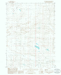
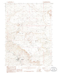
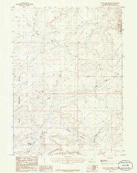
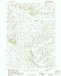
(67)- 1980 Map of Red Desert Basin
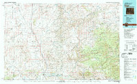
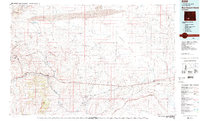 1980 Red Desert Basin1980 Print · USGSSweetwater County's high desert is captured here in the late twentieth century, centered on the historic transportation corridor through the Red Desert Basin. Genealogists and historians can trace rail-town lineage through Point of Rocks, Bitter Creek, and the mining community of Superior.
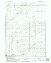
 - 1980 Map of Farson, 1981 Print
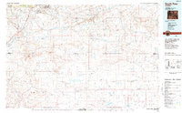
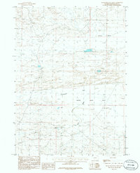
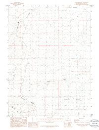
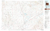 1980 Farson1981 Print · USGSSettlement in the high desert of Sweetwater County is centered on Farson and Eden during the 1980s. Researchers can trace the path of the Dry Sandy Stage and Pony Express Sta (Site) and explore the vast Sand Dunes near Steamboat Rim.
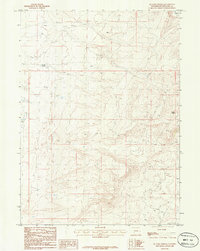
 - 1980 Map of Evanston, 1992 Print
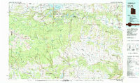
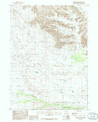
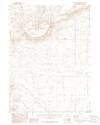
 1980 Evanston1992 Print · USGSSouthwestern Wyoming at the start of the eighties shows a landscape of mountain forests and high-plateau ranching towns. Trace the Union Pacific line through Evanston or explore the historic vicinity of Fort Bridger and Piedmont.
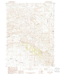
 - 1980 Map of Firehole Canyon, 1993 Print
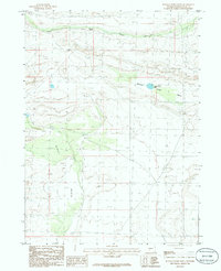
 1980 Firehole Canyon1993 Print · USGSSweetwater County and the tri-state border region are mapped here in the early eighties as the reservoir system reshaped the high desert. Researchers can trace remote settlements like McKinnon and landforms such as Massacre Hill and the Red Creek Badlands.2 unique versions available
 - 1981 Map of Rock Springs
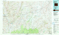
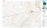
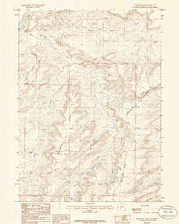
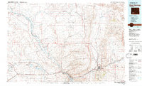 1981 Rock Springs1981 Print · USGSSweetwater County at the start of the 1980s shows a landscape of industrial energy and historic routes. Trace the path of the Emigrant Trail past Little America or explore mining sites like Westvaco Shaft No 1.
 - 1981 Map of Dutch John, 1982 Print
 1981 Dutch John1982 Print · USGSThe high Uinta plateau and the massive reservoir system appear here as they were in the early eighties. Local researchers can trace the roads connecting Manila and Greendale, or locate remote landmarks like the Dyer Mine and Spirit Lake.2 unique versions available
 - 1982 Map of Fontenelle Reservoir
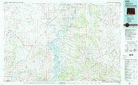
 1982 Fontenelle Reservoir1982 Print · USGSWestern Wyoming's high country is captured here during the early eighties, showing the intersection of historic pioneer routes and modern water management. Genealogists and historians can trace the Emigrant Trail, Sublette Cutoff, and old sites like Rainbow Camp.2 unique versions available
 - 1982 Map of Kings Peak, 1985 Print
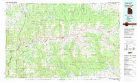 1982 Kings Peak1985 Print · USGSThe high Uinta wilderness is captured in the early eighties, showing the intersection of three national forests at the Wyoming-Utah border. Hikers and historians can trace the high trails near Kings Peak, Moon Lake, and Iron Mine Mountain.2 unique versions available
 - 1983 Map of Baggs
 1983 Baggs1983 Print · USGSSettlement along the Wyoming-Colorado border in the early eighties follows the path of the Little Snake River through Carbon and Moffat counties. Researchers can trace the path of the Overland Trail or locate historical mining sites like the Ferris-Haggarty Mine and Standard Mine.
 - 1984 Map of South Pass
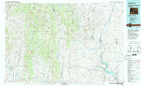
 1984 South Pass1984 Print · USGSThe high Wyoming desert during the 1980s reveals a landscape where pioneer history and industrial mining converge. Trace the original paths of the Oregon Trail and Emigrant Trail past historic sites like South Pass City and the Tabor Grand Mine.2 unique versions available
 - 1984 Map of Rawlins
 1984 Rawlins1984 Print · USGSRawlins and the high-desert basins of Carbon County are shown in the mid-1980s as a vital transportation and energy corridor. Researchers can trace the historic Overland Trail and locate coal operations like Cherokee Mine No. 1 and the State Penitentiary.
 - 1986 Map of Joe Hay Rim
 1986 Joe Hay Rim1986 Print · USGSHigh-desert Sweetwater County is captured in the mid-1980s, revealing the remote topography of the high plains. Researchers can trace the Continental Divide as it cuts past Oregon Buttes and the long incline of Joe Hay Rim.
 - 1986 Map of Black Rock Flat East
 1986 Black Rock Flat East1986 Print · USGSSweetwater County during the mid-1980s reveals a high-desert landscape defined by the expansive Black Rock Flat and Alkali Basin. Genealogists and researchers can trace the intermittent paths of Black Rock Creek and identify landmarks like the Sand Dunes.
 - 1986 Map of Buffalo Hump Basin
 1986 Buffalo Hump Basin1986 Print · USGSHigh desert terrain in Sweetwater County during the mid-eighties reveals a landscape shaped by internal drainage and mineral exploration. Genealogists and historians can trace the remote geography of Buffalo Hump Basin, Buffalo Hump Lake, and the expansive Alkali Basin.
 - 1986 Map of Black Rock Flat West
 1986 Black Rock Flat West1986 Print · USGSSweetwater County during the mid-1980s reveals a sparse high-desert landscape centered on the broad expanse of Black Rock Flat. Researchers can trace isolated water sources like Flowing Well and Dry Lake among the shifting Sand Dunes.
 - 1986 Map of Bob Jack Well
 1986 Bob Jack Well1986 Print · USGSSweetwater County at the dawn of the eighties reveals a remote landscape of ranching and resource management. Researchers can locate the Bob Jack Well, the high ridges of the Honeycomb Buttes, and the isolated Landing Strip.
 - 1986 Map of South Superior
 1986 South Superior1986 Print · USGSSouth Superior and the high-desert mesas of Sweetwater County are captured in the mid-eighties as the area balanced mineral prospecting with its ranching heritage. Researchers can trace the Continental Divide past Zirkel Mesa and locate the town of South Superior near Horsethief Canyon.
 - 1986 Map of Monument Ridge
 1986 Monument Ridge1986 Print · USGSThe high desert of Sweetwater County comes into focus in the mid-1980s, centered on the prominent spine of Monument Ridge. Researchers can trace the path of the Continental Divide as it winds past Parnell and the deep cuts of Box Canyon.
 - 1986 Map of Twelvemile Well
 1986 Twelvemile Well1986 Print · USGSSweetwater County during the mid-eighties shows a high-desert landscape defined by its scarce water sources and the path of the Continental Divide. Researchers can trace the drainage of Twelvemile Gulch and Tenmile Draw or locate the solitary Twelvemile Well.
 - 1986 Map of Steamboat Mountain
 1986 Steamboat Mountain1986 Print · USGSHigh Wyoming desert country comes into focus in the 1980s as the Continental Divide crosses this remote landscape. Trace the 4WD trails and water sources essential to the region, including Split Rock Spring, Carson Lakes, and Endlich Hill.
 - 1986 Map of Rock Cabin Spring
 1986 Rock Cabin Spring1986 Print · USGSThe Continental Divide traverses this high desert landscape of Sweetwater County as it appeared in the mid-1980s. Local researchers can trace the seasonal drainage of Rock Cabin Creek and locate landmarks like Rock Cabin Spring and the Morrow Jack Hills.
 - 1986 Map of Freighter Gap
 1986 Freighter Gap1986 Print · USGSThe high desert of Sweetwater County is shown in the mid-1980s as it transitions across the Continental Divide. Trace the remote tracks and water sources of the Red Desert, including Freighter Spring, Chicken Springs, and the prominent Bush Rim.
 - 1986 Map of Ox Yoke Springs
 1986 Ox Yoke Springs1986 Print · USGSSweetwater County's high desert reaches are captured here in the mid-1980s, centered on the vital water sources of the Red Desert. Researchers can trace the remote network of 4WD tracks connecting Ox Yoke Springs, Indian Spring, and the vast, shifting Sand Dunes.
 - 1986 Map of Deer Butte
 1986 Deer Butte1986 Print · USGSSweetwater County's high-desert terrain is captured in the mid-1980s, centered on the Continental Divide and the volcanic Leucite Hills. Researchers can trace the energy and mineral landscape through numerous Gas Wells and mining Prospects near Deer Butte.
 - 1986 Map of Essex Mountain
 1986 Essex Mountain1986 Print · USGSSweetwater County during the mid-1980s reveals a high-elevation landscape of rims and springs. Researchers can trace the drainages of Morrow Creek and locate vital water sources like Marine Springs and Box Spring near the heights of Essex Mountain.
Showing maps 1-25 of 67
Top cities of Sweetwater County
- Rock Springs historical maps
- Green River historical maps
- North Rock Springs historical maps
- Clearview Acres historical maps
- James Town historical maps
- Reliance historical maps
See more
Frequently asked questions
- What are the different types of historical maps available for Sweetwater County?
- What is the oldest map of Sweetwater County?
- Where can I purchase historical maps of Sweetwater County for my home or office?
- Where can I download high-res historical maps of Sweetwater County?
- Are there historical topographic maps available for Sweetwater County?
- Is there historical aerial imagery available for Sweetwater County?
- Where are historical maps of Sweetwater County sourced from?