2020s Maps of Sweetwater County, Wyoming
Explore 233 historic maps of Sweetwater County from the 2020s. These maps offer a rare glimpse into what life looked like during the 2020s — showing old roads, neighborhoods, homes, and landmarks that have changed or disappeared over time.
Whether you're researching your family's past, planning a metal detecting trip, or studying how Sweetwater County's landscape evolved across the 2020s, these high-resolution maps are a powerful tool for exploring the history of this region.
- Focus on a specific era: All maps on this page are from the 2020s, giving you a focused view of this time period.
- See what’s changed: Compare century-old streets, trails, and buildings to today's modern landscape using overlays and satellite layers.
- Research with precision: Use these maps for genealogy, historical research, land use analysis, or educational projects.
- View, download, or print: Maps are fully viewable online in high resolution, and can be downloaded or printed for your own records.
Start exploring Sweetwater County's history through authentic maps from the 2020s. This is your window into the past.
Sweetwater County, WY maps
(233)- 2020 Map of Phil Pico Mountain, 2020 Print
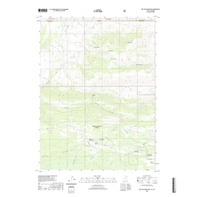 2020 Phil Pico Mountain2020 Print · USGSHigh-country terrain and early transportation routes define this border landscape between Utah and Wyoming. You can trace the historic Carter Military road as it climbs toward Phil Pico Mtn or locate regional water infrastructure at Long Park Reservoir and Sheep Cr Canal.
 - 2020 Map of Dutch John, 2020 Print
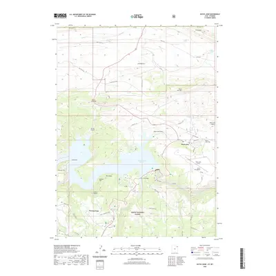 2020 Dutch John2020 Print · USGSDaggett County, Utah, is shown here as the local economy transitioned toward recreation and conservation in the early twenty-first century. Researchers can trace the layout of Dutch John and locate landmarks like the Swett Ranch, Cart Creek Bridge, and Cedar Spring.
 - 2020 Map of Flaming Gorge, 2020 Print
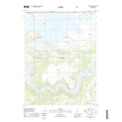 2020 Flaming Gorge2020 Print · USGSThe high desert meets the deep canyons of the Green River at the Wyoming and Utah border in this recent survey. Researchers can trace the shoreline of Flaming Gorge Reservoir and locate historic sites like Swett Ranch and Lucerne Valley.
 - 2020 Map of Manila, 2020 Print
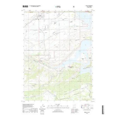 2020 Manila2020 Print · USGSThe high desert borderlands of Utah and Wyoming come into focus in this recent survey of the area surrounding Manila. Researchers can trace local landmarks like the Daggett County Court House, explore the shores of Flaming Gorge Reservoir, and locate high-altitude winter trails near Dowd Mtn.
 - 2020 Map of Jessen Butte, 2020 Print
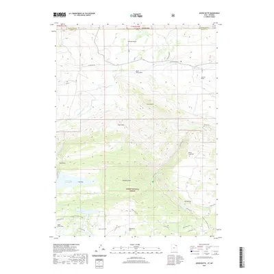 2020 Jessen Butte2020 Print · USGSThe high desert and mountain interface of the Wyoming-Utah border comes into focus in this recent survey. Local historians and researchers can trace the Carter Military route and locate specific landmarks like Dowds Grave and Sheep Creek Lake.
 - 2020 Map of Hoop Lake, 2020 Print
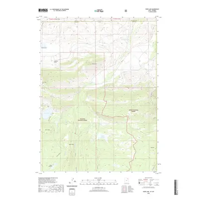 2020 Hoop Lake2020 Print · USGSThe high borderlands of Utah and Wyoming are captured here in the early twenty-first century. Researchers can trace the drainage of the Burnt Fork and identify historic topographic landmarks such as Coal Mine Hill, Hoop Lake, and Widdop Mtn.
 - 2021 Map of Dennison Cap, 2021 Print
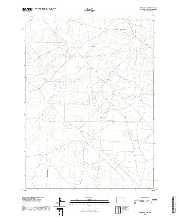 2021 Dennison Cap2021 Print · USGSThe high-desert terrain of Sweetwater County is captured here in the early twenty-first century, showing the remote high-country infrastructure. Researchers can trace land boundaries and water sources like Twelvemile Hole and Black Lake along the Siberia Ridge area.
 - 2021 Map of Monument Valley, 2021 Print
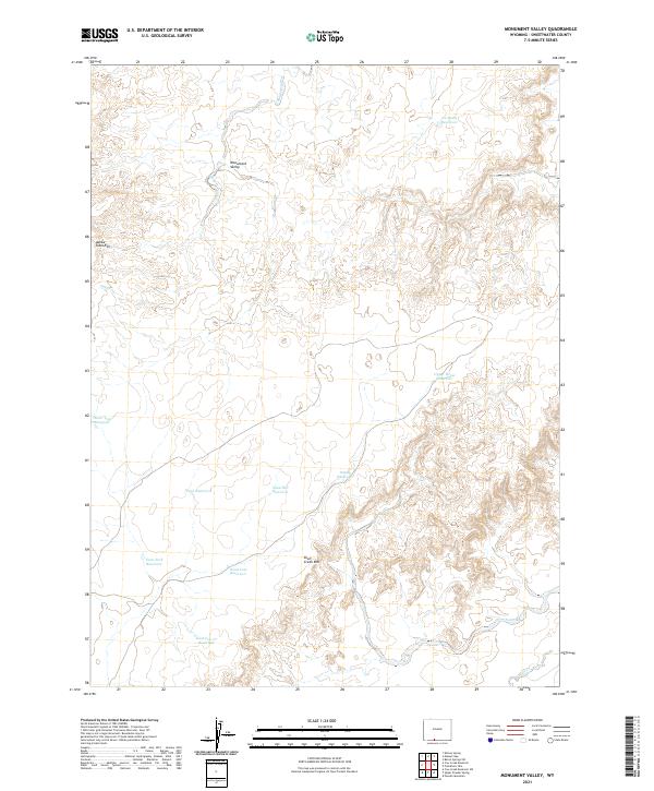 2021 Monument Valley2021 Print · USGSSweetwater County at the start of the 2020s remains a landscape defined by high-desert ranching and topography. Researchers can trace land use patterns through family or functionally-named sites like Adobe Town Rim, Dead Cow Reservoir, and Skull Creek Rim.
 - 2021 Map of Powder Mountain, 2021 Print
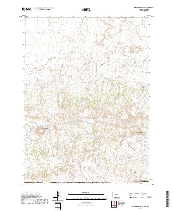 2021 Powder Mountain2021 Print · USGSThe high-desert ranching country of southern Wyoming meets the Colorado border in the early 2020s. Trace historic routes and vital water sources like the Cherokee Trail Rd, Moonshine Spring, and Salt Lick Reservoir.
 - 2021 Map of Powder Mountain NE, 2021 Print
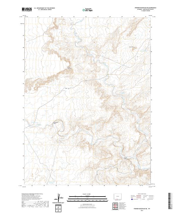 2021 Powder Mountain NE2021 Print · USGSThe high desert plateaus of Sweetwater County appear here in the early twenty-first century, showing a remote landscape of rims and washes. Trace the paths of W Br Willow Cr and locate water sources like Church Butte and Sand Cr Lake.
 - 2021 Map of Point of Rocks SW, 2021 Print
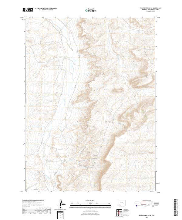 2021 Point of Rocks SW2021 Print · USGSIn the high basins of Sweetwater County during the early twenty-first century, this landscape shows the intersection of natural drainage and rural access. Researchers can trace the path of CO RD 48 as it winds near Salt Wells Cr and Black Butte Cr.
 - 2021 Map of Rotten Springs, 2021 Print
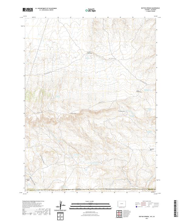 2021 Rotten Springs2021 Print · USGSThe Wyoming and Colorado borderlands come into focus in this recent survey of the Sweetwater County high desert. Trace the historic route of the Cherokee Trail Rd and locate vital water sources like Rotten Springs, Chimney Reservoir, and Peeler Spring.
 - 2021 Map of Steamboat Mountain, 2021 Print
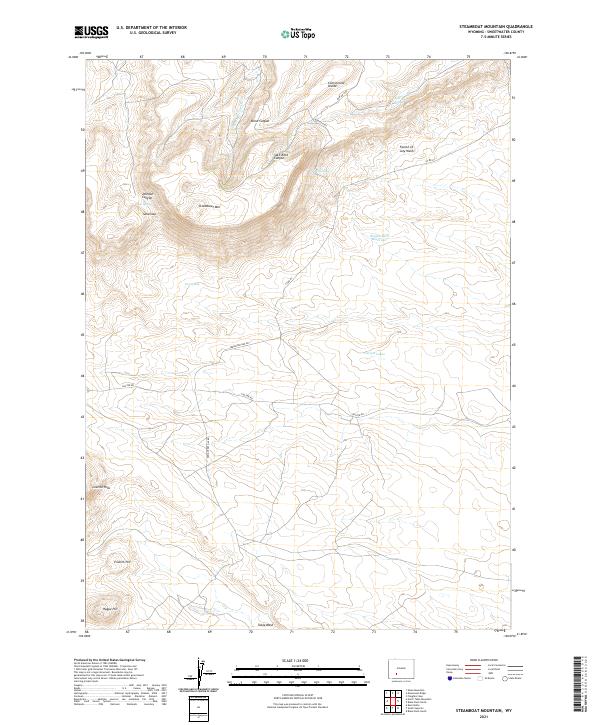 2021 Steamboat Mountain2021 Print · USGSSweetwater County's high-desert terrain is mapped in the early 2020s, showing the intersection of the Continental Divide and the Leucite Hills. Researchers can trace remote routes like Freighter Gap Rd and locate isolated water sources such as Brown Rock Reservoir and Split Rock Spring.
 - 2021 Map of Sand Butte Rim SE, 2021 Print
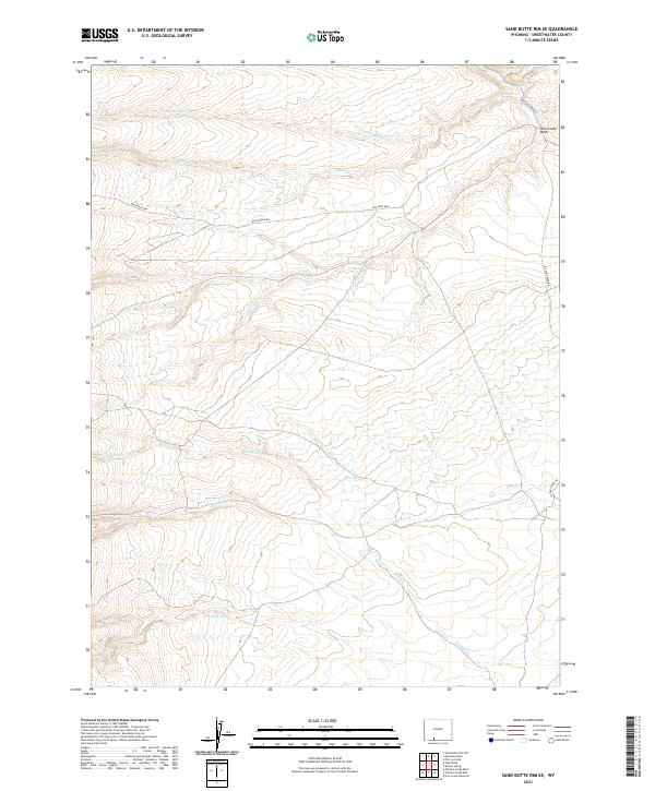 2021 Sand Butte Rim SE2021 Print · USGSSweetwater County's high desert landscape in the 2020s is defined by its seasonal drainages and remote roads. Researchers can trace the path of Rim Road 4408 and locate the Dry Reservoir among the headwaters of Kinney Cr.
 - 2021 Map of Potter Mountain, 2021 Print
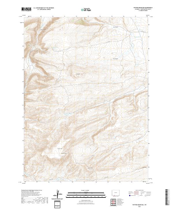 2021 Potter Mountain2021 Print · USGSHigh desert terrain in Sweetwater County comes into focus in this contemporary survey of the Wyoming backcountry. Map researchers can trace vital water sources like Jim Washum Spring and Laney Spring or navigate by landmarks such as Potter Mtn and Elk Butte.
 - 2021 Map of Clay Buttes SW, 2021 Print
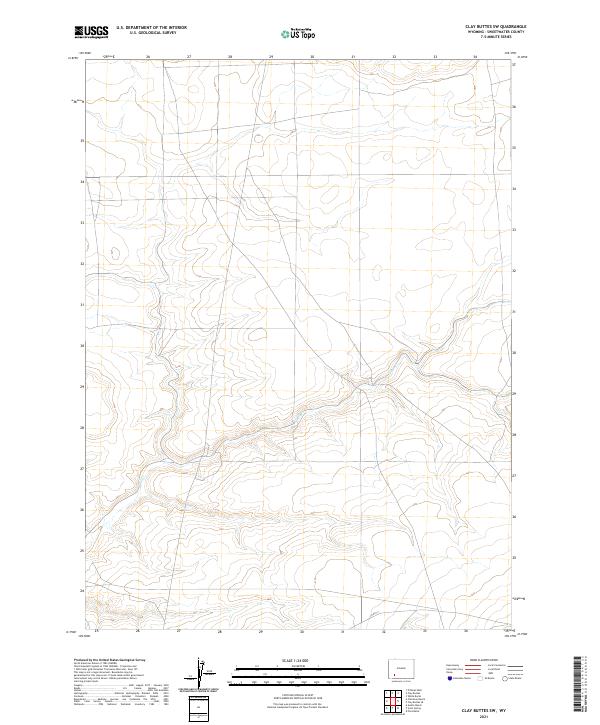 2021 Clay Buttes SW2021 Print · USGSSweetwater County at the start of the 2020s shows a landscape of expansive desert basins and sectioned ranch land. Trace the paths of Alkali Cr and the remote course of CO RD 14 across the high plains.
 - 2021 Map of Blacks Fork Bridge, 2021 Print
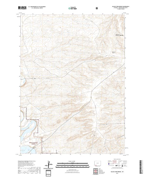 2021 Blacks Fork Bridge2021 Print · USGSSweetwater County's high desert plateaus are documented here in the early twenty-first century, centered on the crossing at Blacks Fork Bridge. Researchers can trace the path of Blacks Fork through the Ashley National Forest and navigate the remote reaches of Telephone Canyon and Lost Dog Rd.
 - 2021 Map of Deer Butte, 2021 Print
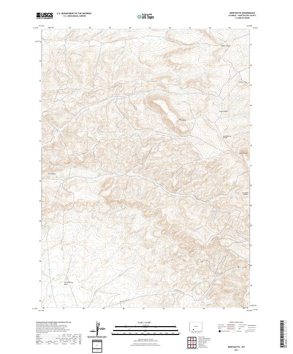 2021 Deer Butte2021 Print · USGSSweetwater County's high desert landscape is shown here in the early twenty-first century, centered on the Continental Divide. Researchers can trace the winding Superior Cutoff Rd past Deer Butte and into the North Baxter Basin.
 - 2021 Map of Bitter Creek NE, 2021 Print
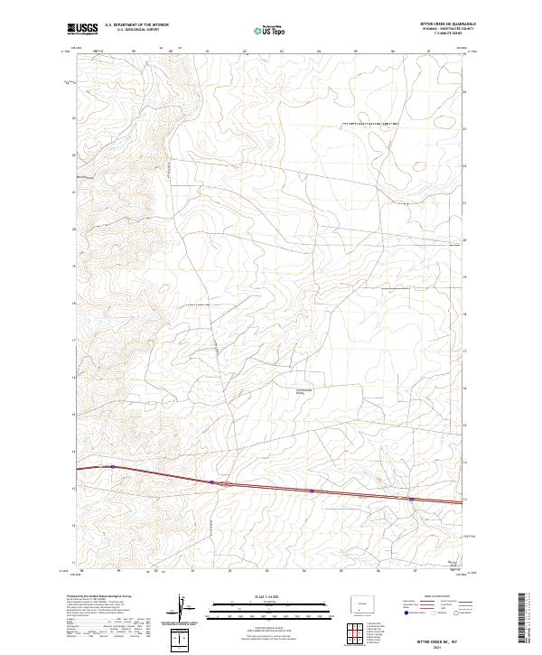 2021 Bitter Creek NE2021 Print · USGSThe high desert of Sweetwater County is captured here in the early twenty-first century, centered on the Continental Divide. Trace the remote transit routes of the basin, including Bitter Creek Rd and the drainage paths of Tenmile Draw and Patrick Draw.
 - 2021 Map of Boars Tusk, 2021 Print
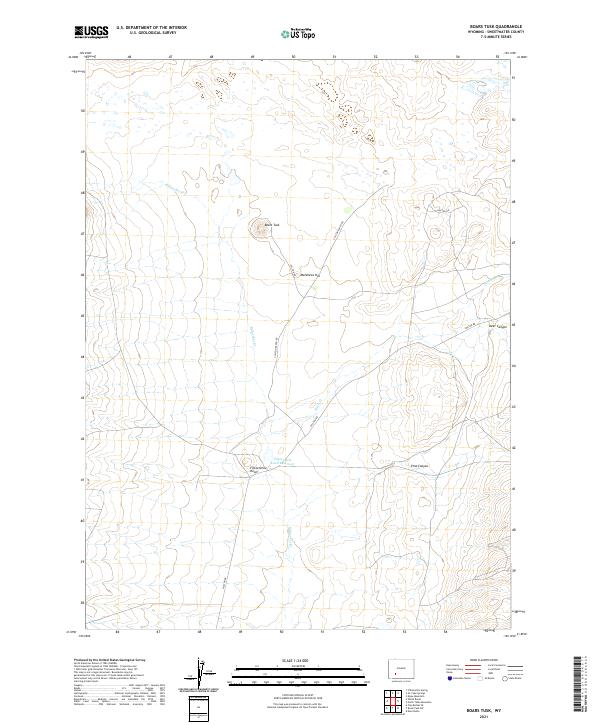 2021 Boars Tusk2021 Print · USGSSweetwater County ranching lands and desert terrain are documented here during the early twenty-first century. Researchers can trace land management and seasonal water sources via Fifteenmile Knoll Reservoir, Boars Tusk, and Killpecker Cr.
 - 2021 Map of Four J Rim, 2021 Print
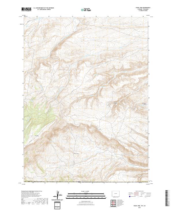 2021 Four J Rim2021 Print · USGSHigh-desert rangelands in Sweetwater County appear here in recent years, showing a landscape defined by its isolated water sources. Researchers can trace remote routes like BLM RD 4413 to find named landmarks such as Four J Rim, Bell Spring, and Pine Lake.
 - 2021 Map of Sugarloaf Basin, 2021 Print
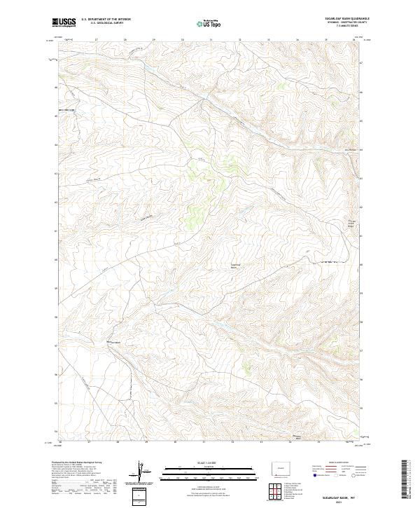 2021 Sugarloaf Basin2021 Print · USGSSweetwater County's high-desert basins are captured here in the early twenty-first century, showing a landscape defined by seasonal water and ridges. Genealogists and historians can trace the paths of Flaming Gorge Rd or locate landmarks like Washam Spring and Sugarloaf Basin.
 - 2021 Map of Antelope Knoll NE, 2021 Print
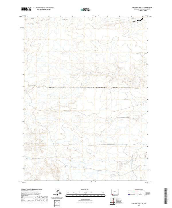 2021 Antelope Knoll NE2021 Print · USGSSweetwater County rangeland is documented here during the early twenty-first century, showing a landscape defined by seasonal washes and high-desert terrain. Researchers can trace the courses of Little Dry Cr and Meadow Springs Wash alongside the path of CO RD 85.
 - 2021 Map of Black Buttes, 2021 Print
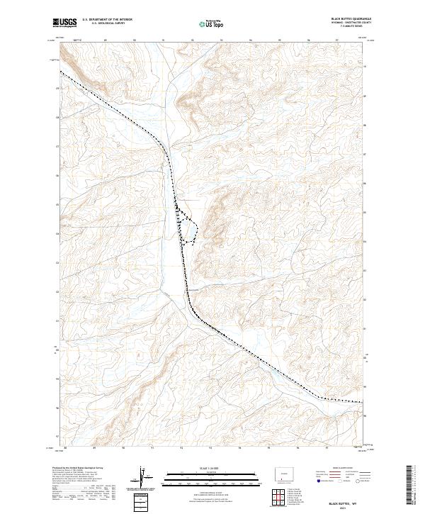 2021 Black Buttes2021 Print · USGSSweetwater County's high desert landscape appears in sharp relief during this recent survey of the Wyoming interior. Researchers can trace the path of Bitter Creek as it winds past the Black Buttes and follows the route of Co Rd 84.
 - 2021 Map of Baxter, 2021 Print
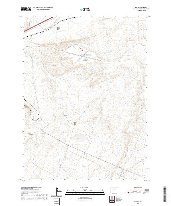 2021 Baxter2021 Print · USGSSweetwater County's high-desert basins are captured here in the early twenty-first century as a hub of regional infrastructure. You can trace the logistics of the high plains through Baxter, the Rock Springs- Sweetwater County Airport, and Bitter Cr.
Showing maps 1-25 of 233
Top cities of Sweetwater County
- Rock Springs historical maps
- Green River historical maps
- North Rock Springs historical maps
- Clearview Acres historical maps
- James Town historical maps
- Reliance historical maps
See more
Frequently asked questions
- What are the different types of historical maps available for Sweetwater County?
- What is the oldest map of Sweetwater County?
- Where can I purchase historical maps of Sweetwater County for my home or office?
- Where can I download high-res historical maps of Sweetwater County?
- Are there historical topographic maps available for Sweetwater County?
- Is there historical aerial imagery available for Sweetwater County?
- Where are historical maps of Sweetwater County sourced from?