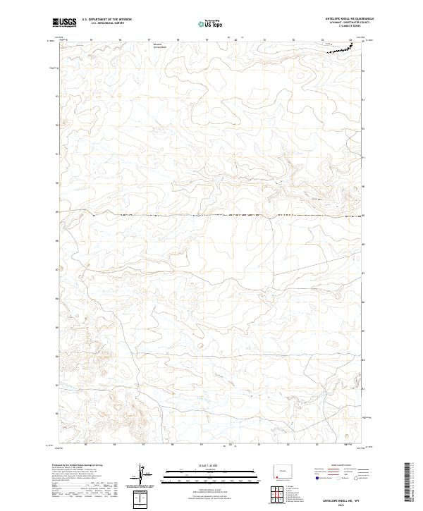
2021 Map of Antelope Knoll NE
USGS Topo · Published 2021About this map
Little Dry Cr and Chicken Draw define the drainage patterns across this high desert landscape in Sweetwater County. The terrain is characterized by seasonal watercourses and intermittent washes, typical of the arid southwestern Wyoming plateau. The Public Land Survey System grid is meticulously documented, showing the intersections of several townships including t18n r110w, t17n r110w, and t16n r110w. Human infrastructure is sparse, limited primarily to Co RD 85 in the northern portion of the quadrangle, reflecting the region's character as open rangeland. The map provides a clear view of the topographic relief and the network of ephemeral streams like Meadow Springs Wash that shape the local geography.
Find a feature on this map
11 named features on this map. Tap any name to fly to it.
Don’t see what you’re looking for? This feature index may not catch every label — zoom into the map to look around manually.
Map Details
Editions of this 2021 Antelope Knoll NE Map
This is the sole edition of this map. No revisions or reprints were ever made.
Other maps of this area

1954 · Rock Springs
USGS Topo · 1:250,000

1957 · Mc Kinnon Junction
USGS Topo · 1:62,500

1958 · Rock Springs
USGS Topo · 1:250,000

1961 · Little America
USGS Topo · 1:24,000

1961 · Granger
USGS Topo · 1:24,000

1961 · Bryan
USGS Topo · 1:24,000

1962 · Rock Springs
USGS Topo · 1:250,000

1964 · Antelope Knoll NE
USGS Topo · 1:24,000

1964 · Antelope Knoll
USGS Topo · 1:24,000

1964 · Winter Fat Reservoir
USGS Topo · 1:24,000