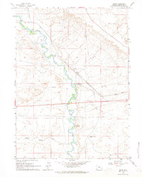
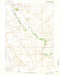
1961 Map of Bryan
USGS Topo · Published 1965About this map
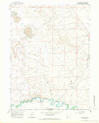
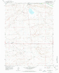
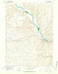
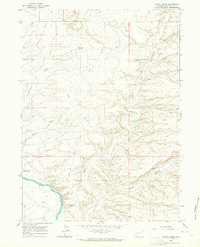
Blacks Fork meanders through the high desert of Sweetwater County, marking a landscape defined by the historic corridors of western migration and industrial transit. The settlement of Bryan serves as a focal point along the Union Pacific tracks, accompanied by multiple Cemeteries and the nearby Pierotto Ranch. This 1961 survey documents the convergence of different eras of travel, from the wagon ruts of the Overland Trail to the modern utility of Telephone and Pipeline corridors.
Find a feature on this map
17 named features on this map. Tap any name to fly to it.
Don’t see what you’re looking for? This feature index may not catch every label — zoom into the map to look around manually.
Map Details
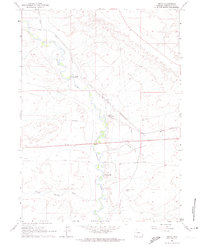
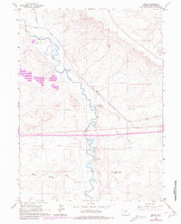
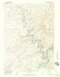
Editions of this 1961 Bryan Map
3 editions found
Other maps of this area

1954 · Rock Springs
USGS Topo · 1:250,000
1957 · Mc Kinnon Junction
USGS Topo · 1:62,500

1958 · Rock Springs
USGS Topo · 1:250,000
1961 · Blue Point
USGS Topo · 1:24,000
1961 · Little America
USGS Topo · 1:24,000
1961 · Peru
USGS Topo · 1:24,000
1961 · Austin Ranch
USGS Topo · 1:24,000
1961 · Stevens Flat
USGS Topo · 1:24,000

1962 · Rock Springs
USGS Topo · 1:250,000
1964 · Antelope Knoll NE
USGS Topo · 1:24,000