
1961 Map of Peru
USGS Topo · Published 1964About this map
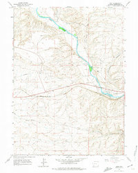
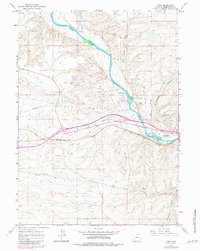
The Union Pacific railroad corridor serves as the primary artery through this high-desert landscape, connecting the small settlement of Peru to James Town and Rivivista. These communities are established along the southern banks of the Green River, where the terrain begins to rise toward the dramatic Blue Rim and the winding Greasewood Canyon to the east. The presence of Igo Airfield south of the tracks suggests the era's regional aviation needs, while historical transportation layers are visible in the Overland Trail and the Telephone Road cutting across the sagebrush flats. Industrial activity is concentrated near the river, marked by several Gravel Pits and a Mine site. Agricultural life is evidenced by isolated outposts such as Shaul Ranch and Gaensslen Ranch, which sit near the drainage of Alkali Creek and Milk Wash.
Find a feature on this map
22 named features on this map. Tap any name to fly to it.
Don’t see what you’re looking for? This feature index may not catch every label — zoom into the map to look around manually.
Map Details
Editions of this 1961 Peru Map
3 editions found
Other maps of this area

1954 · Rock Springs
USGS Topo · 1:250,000

1957 · Mc Kinnon Junction
USGS Topo · 1:62,500

1957 · Firehole Basin
USGS Topo · 1:62,500

1958 · Rock Springs
USGS Topo · 1:250,000

1961 · Scott Spring
USGS Topo · 1:24,000

1961 · Austin Ranch
USGS Topo · 1:24,000

1961 · Stevens Flat
USGS Topo · 1:24,000

1961 · Green River
USGS Topo · 1:24,000

1961 · Bryan
USGS Topo · 1:24,000

1962 · Rock Springs
USGS Topo · 1:250,000