Old Maps of Bear River, Wyoming for Academic Research
Study the evolution of Bear River with 18 high-resolution historic maps. Whether you're teaching, researching, or modeling changes in land use, these maps provide essential visual documentation of urban, environmental, and geographic change.
- Analyze long-term change: Track patterns in development, transportation, and natural features.
- Ideal for environmental or urban studies: Support academic projects with primary historical map data.
- Use in the classroom or lab: Educators and researchers rely on these maps to bring historical context to life.
These maps are a powerful tool for teaching, research, and visualizing how Bear River has changed over the decades.
Bear River, WY maps
(18)- 1954 Map of Ogden, 1967 Print
 1954 Ogden1967 Print · USGSThe northern Utah corridor and Wyoming borderlands are captured here in the mid-1950s, showing the region's transition from mountain wilderness to settled valleys. Researchers can trace historic institutions like Utah State University or locate vanished points like Church Butte Station and the Trappist Monastery.3 unique versions available
 - 1958 Map of Ogden
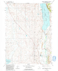
 1958 Ogden1958 Print · USGSNorthern Utah and southwestern Wyoming are captured here during a period of steady growth and military expansion. You can trace the Union Pacific rail lines and early road networks connecting Ogden and Logan to Bear Lake and Evanston.
 - 1960 Map of Ogden
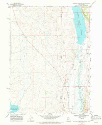
 1960 Ogden1960 Print · USGSIn the mid-1950s, this region of the American West balanced military expansion with frontier history along the Union Pacific RR. Genealogists and historians can trace old settlements like Fort Bridger, the residential growth of Washington Terrace, and industrial sites from the Hill AFB complex to the coal mines of Kemmerer.
 - 1968 Map of Neponset Reservoir NE, 1971 Print
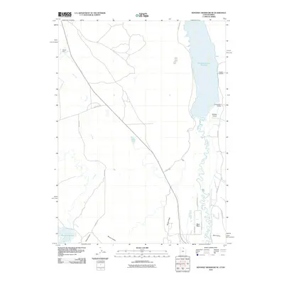
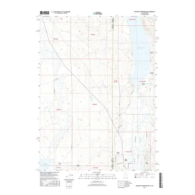
 1968 Neponset Reservoir NE1971 Print · USGSThe Utah-Wyoming borderlands come alive in the late sixties, showing a landscape defined by high-altitude water management and the meandering Bear River. Local historians and researchers can trace the engineering of the Christensen Tunnel and the vital Chapman Canal.2 unique versions available
 - 1968 Map of Murphy Ridge, 1971 Print
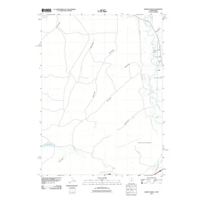
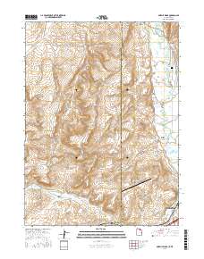
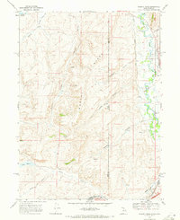 1968 Murphy Ridge1971 Print · USGSThe Utah and Wyoming borderlands come into focus in the late sixties, showing the vital waterways and rail lines of the high basin. Trace the Union Pacific railroad and the Bear River near the Almy Cem and the settlement at Almy.2 unique versions available
 - 1986 Map of Ogden, 1987 Print
 1986 Ogden1987 Print · USGSThe Wasatch Front was undergoing significant development in the mid-eighties as the urban corridor stretched from Ogden toward the Great Salt Lake. Researchers can trace the legacy of regional transport and defense via Hill Air Force Base, the Union Pacific line, and mountain passes near Snow Basin.
 - 1991 Map of Murphy Ridge
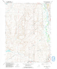 1991 Murphy Ridge1991 Print · USGSRich County, Utah, and the Wyoming borderlands are captured here in the early nineties, showing a landscape of high-altitude ranching and energy extraction. Genealogists and researchers can trace the settlement at Almy, locate the Almy Cem, and follow the winding Bear River through this complex border terrain.
 - 1991 Map of Neponset Reservoir NE
 1991 Neponset Reservoir NE1991 Print · USGSThe high borderlands of Utah and Wyoming come into focus in the early 1990s, where the Bear River feeds large-scale irrigation projects. Genealogists and local historians can trace landmarks like Wyoming Downs, Murphy Ridge, and the Chapman Canal.
 - 2010 Map of Murphy Ridge, 2010 Print
 2010 Murphy Ridge2010 Print · USGSCovers Bear River, including Evanston, Almy, and other nearby areas
 - 2010 Map of Neponset Reservoir NE, 2010 Print
 2010 Neponset Reservoir NE2010 Print · USGSCovers Bear River, including Uinta County, Rich County, and other nearby areas
 - 2014 Map of Murphy Ridge, 2014 Print
 2014 Murphy Ridge2014 Print · USGSCovers Bear River, including Evanston, Almy, and other nearby areas
 - 2014 Map of Neponset Reservoir NE, 2014 Print
 2014 Neponset Reservoir NE2014 Print · USGSCovers Bear River, including Uinta County, Rich County, and other nearby areas
 - 2017 Map of Neponset Reservoir NE, 2017 Print
 2017 Neponset Reservoir NE2017 Print · USGSCovers Bear River, including Uinta County, Rich County, and other nearby areas
 - 2017 Map of Murphy Ridge, 2017 Print
 2017 Murphy Ridge2017 Print · USGSCovers Bear River, including Evanston, Almy, and other nearby areas
 - 2020 Map of Neponset Reservoir NE, 2020 Print
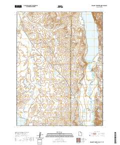 2020 Neponset Reservoir NE2020 Print · USGSCovers Bear River, including Uinta County, Rich County, and other nearby areas
 - 2020 Map of Murphy Ridge, 2020 Print
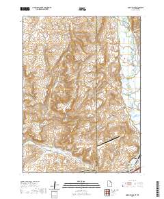 2020 Murphy Ridge2020 Print · USGSCovers Bear River, including Evanston, Almy, and other nearby areas
 - 2023 Map of Murphy Ridge, 2023 Print
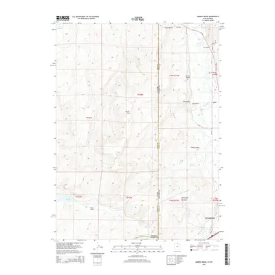
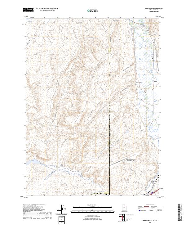 2023 Murphy Ridge2023 Print · USGSThe high borderlands of Rich County and Uinta County come to life in this contemporary study of the Utah-Wyoming state line. Genealogists and historians can trace local landmarks like Almy Cem and the Morris Ditch near the banks of the Bear River.
 - 2023 Map of Neponset Reservoir NE, 2023 Print
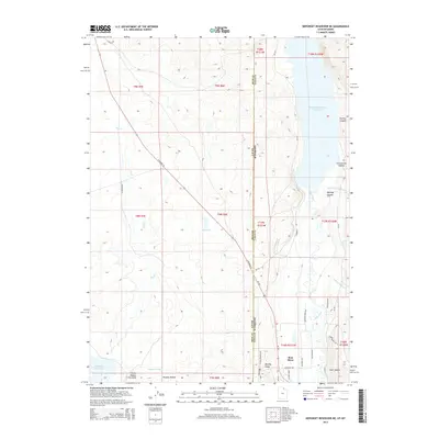
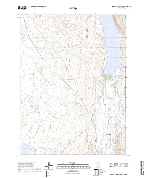 2023 Neponset Reservoir NE2023 Print · USGSThe high desert along the Utah-Wyoming border comes into focus in this contemporary study of the Bear River valley. Researchers can trace the complex irrigation history of the region through the Chapman Canal, Woodruff Narrows Reservoir, and family-named landmarks like Christensen Hollow.
End of results
Showing maps 1-18 of 18
Top cities near Bear River
Frequently asked questions
- What are the different types of historical maps available for Bear River?
- What is the oldest map of Bear River?
- Where can I purchase historical maps of Bear River for my home or office?
- Where can I download high-res historical maps of Bear River?
- Are there historical topographic maps available for Bear River?
- Is there historical aerial imagery available for Bear River?
- Where are historical maps of Bear River sourced from?