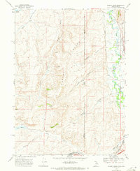
1968 Map of Murphy Ridge
USGS Topo · Published 1971About this map
The Murphy Ridge divide separates the high basins of the Utah-Wyoming border, where the Bear River meanders through a wide valley along the eastern edge of the map. This 1968 survey documents a landscape of high-altitude water management and ranching infrastructure, evidenced by the Chapman Canal and numerous springs and ditches that feed into the river system. Near the Wyoming state line, the settlement of Almy sits adjacent to the Almy Cem, providing a focal point for genealogists tracing early families in the region.
Find a feature on this map
35 named features on this map. Tap any name to fly to it.
Don’t see what you’re looking for? This feature index may not catch every label — zoom into the map to look around manually.
Map Details
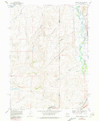
Editions of this 1968 Murphy Ridge Map
2 editions found
Other maps of this area

1954 · Ogden
USGS Topo · 1:250,000

1958 · Ogden
USGS Topo · 1:250,000

1960 · Ogden
USGS Topo · 1:250,000

1965 · Evanston
USGS Topo · 1:24,000

1965 · Three Forks
USGS Topo · 1:24,000

1965 · Millis
USGS Topo · 1:24,000

1968 · Wahsatch
USGS Topo · 1:24,000

1968 · Shearing Corral
USGS Topo · 1:24,000

1968 · Mc Kay Hollow
USGS Topo · 1:24,000

1968 · Neponset Reservoir NE
USGS Topo · 1:24,000