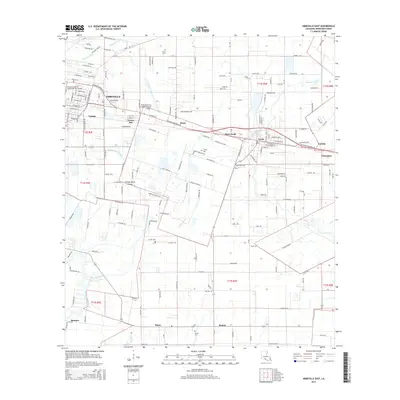
2015 Map of Abbeville East
USGS Topo · Published 2015About this map
Abbeville serves as the western anchor of this Vermilion Parish landscape, where the Vermilion River snakes through the southwest corner near Bancker. The 2015 survey reveals a corridor of development following Veterans Memorial Dr, linking the parish seat to smaller outlying settlements such as Grosse Isle, Mack, and West Erath. The map captures a transition from the urban grid of Abbeville, characterized by institutions like the Louisiana Technical College-Gulf Area Campus, to the expansive agricultural and drainage systems of the Acadiana region.
Find a feature on this map
190 named features on this map. Tap any name to fly to it.
Don’t see what you’re looking for? This feature index may not catch every label — zoom into the map to look around manually.
Map Details
Editions of this 2015 Abbeville East Map
This is the sole edition of this map. No revisions or reprints were ever made.
Other maps of this area

1932 · Abbeville SW
USGS Topo · 1:31,680

1932 · Abbeville SE
USGS Topo · 1:31,680

1932 · Abbeville NE
USGS Topo · 1:31,680

1932 · Abbeville NW
USGS Topo · 1:31,680

1937 · Derouen
USGS Topo · 1:62,500

1939 · St. Martinsville
USGS Topo · 1:62,500

1945 · New Orleans
USGS Topo · 1:250,000

1946 · Milton
USGS Topo · 1:31,680

1946 · Leroy
USGS Topo · 1:31,680

1952 · Lake Charles
USGS Topo · 1:250,000