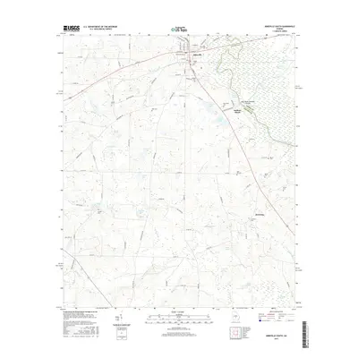
2017 Map of Abbeville South
USGS Topo · Published 2017About this map
Abbeville occupies the northern edge of this south-central Georgia landscape, where the Ocmulgee River serves as the dividing line between Wilcox and Dodge counties. The terrain is defined by an intricate network of wetlands and small water bodies, including Pot Pond, Cypress Pond, and the curiously named Gator Slide and Buzzard Roost. This map provides significant genealogical value through its preservation of numerous rural burial sites, such as Siloam Cem, Antioch Cem, and Lebanon Cem, many of which are tucked away near local drainages like House Cr and Haw Pond Cr.
Find a feature on this map
107 named features on this map. Tap any name to fly to it.
Don’t see what you’re looking for? This feature index may not catch every label — zoom into the map to look around manually.
Map Details
Editions of this 2017 Abbeville South Map
This is the sole edition of this map. No revisions or reprints were ever made.
Other maps of this area

1953 · Waycross
USGS Topo · 1:250,000

1957 · Macon
USGS Topo · 1:250,000

1958 · Macon
USGS Topo · 1:250,000

1958 · Waycross
USGS Topo · 1:250,000

1964 · Macon
USGS Topo · 1:250,000

1972 · Abbeville North
USGS Topo · 1:24,000

1972 · Pineview East
USGS Topo · 1:24,000

1972 · Lake Cypress
USGS Topo · 1:24,000

1972 · Queensland
USGS Topo · 1:24,000

1974 · Rebecca
USGS Topo · 1:24,000