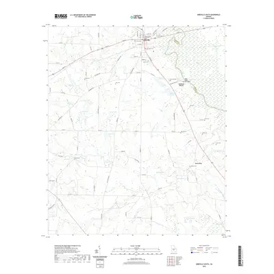
2020 Map of Abbeville South
USGS Topo · Published 2020About this map
Abbeville serves as the focal point of this Wilcox County survey, with the Wilcox County Courthouse anchoring the town center. The landscape transitions from the urban grid of the county seat toward the Ocmulgee River, which forms the boundary with Dodge County to the east. Historically significant for its river navigation, the area around Statham Shoals remains a key geographical marker, accompanied by a public Boat Ramp for river access.
Find a feature on this map
102 named features on this map. Tap any name to fly to it.
Don’t see what you’re looking for? This feature index may not catch every label — zoom into the map to look around manually.
Map Details
Editions of this 2020 Abbeville South Map
This is the sole edition of this map. No revisions or reprints were ever made.
Other maps of this area

1953 · Waycross
USGS Topo · 1:250,000

1957 · Macon
USGS Topo · 1:250,000

1958 · Macon
USGS Topo · 1:250,000

1958 · Waycross
USGS Topo · 1:250,000

1964 · Macon
USGS Topo · 1:250,000

1972 · Abbeville North
USGS Topo · 1:24,000

1972 · Pineview East
USGS Topo · 1:24,000

1972 · Lake Cypress
USGS Topo · 1:24,000

1972 · Queensland
USGS Topo · 1:24,000

1974 · Rebecca
USGS Topo · 1:24,000