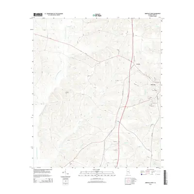
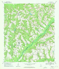
2014 Map of Abbeville West
USGS Topo · Published 2014About this map
E Fork Choctawhatchee River defines the western reaches of this Alabama landscape, its drainage system fed by numerous named tributaries such as Fatty Creek and Watson Creek. The terrain is marked by the infrastructure of the Great Southern Rry, which runs parallel to the modern corridor of US Hwy 431 N, passing through the small settlement at Graball. The map provides significant genealogical value through the location of several rural burial grounds, including Roeville Cem and Danzey Cem.
Find a feature on this map
70 named features on this map. Tap any name to fly to it.
Don’t see what you’re looking for? This feature index may not catch every label — zoom into the map to look around manually.
Map Details
Editions of this 2014 Abbeville West Map
This is the sole edition of this map. No revisions or reprints were ever made.
Other maps of this area

1953 · Dothan
USGS Topo · 1:250,000

1954 · Dothan
USGS Topo · 1:250,000

1955 · Dothan
USGS Topo · 1:250,000

1969 · Abbeville West
USGS Topo · 1:24,000

1969 · Fort Gaines NW
USGS Topo · 1:24,000
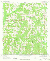
1969 · Texasville
USGS Topo · 1:24,000
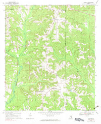
1969 · Clopton
USGS Topo · 1:24,000
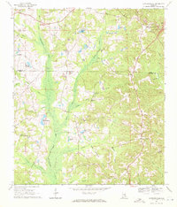
1969 · Lawrenceville
USGS Topo · 1:24,000

1969 · Abbeville East
USGS Topo · 1:24,000
1969 · Echo
USGS Topo · 1:24,000