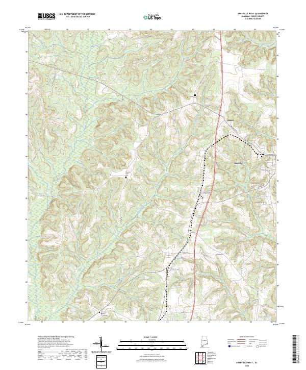
2024 Map of Abbeville West
USGS Topo · Published 2024About this map
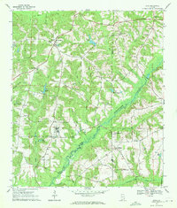
The Henry County Courthouse stands as the central landmark of Abbeville, anchoring a landscape that transitions from the town grid to the rolling drainage basins of Poor Creek and Keyton Branch. This modern survey details the western expansion of the county seat, where the rural character of southeastern Alabama is maintained through large parcels and significant water features like Jennys Lake and Griggs Pond.
Find a feature on this map
45 named features on this map. Tap any name to fly to it.
Don’t see what you’re looking for? This feature index may not catch every label — zoom into the map to look around manually.
Map Details
Editions of this 2024 Abbeville West Map
This is the sole edition of this map. No revisions or reprints were ever made.
Other maps of this area

1953 · Dothan
USGS Topo · 1:250,000

1954 · Dothan
USGS Topo · 1:250,000

1955 · Dothan
USGS Topo · 1:250,000

1969 · Abbeville West
USGS Topo · 1:24,000

1969 · Fort Gaines NW
USGS Topo · 1:24,000
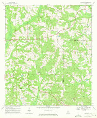
1969 · Texasville
USGS Topo · 1:24,000
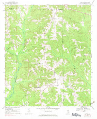
1969 · Clopton
USGS Topo · 1:24,000
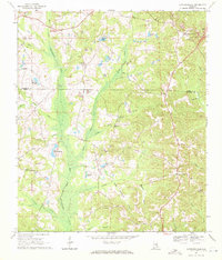
1969 · Lawrenceville
USGS Topo · 1:24,000

1969 · Abbeville East
USGS Topo · 1:24,000
1969 · Echo
USGS Topo · 1:24,000