
1965 Map of Abbott
USGS Topo · Published 1967About this map
The Santa Fe Trail cuts across this high plains landscape of Colfax County, marking a historic corridor of western movement that persists alongside the small settlement of Abbott. Located in the northeastern corner of New Mexico, the area is defined by a network of drainage features like Jaritas Arroyo and Chico Creek, which carve through the terrain toward the basin of East Lake.
Find a feature on this map
13 named features on this map. Tap any name to fly to it.
Don’t see what you’re looking for? This feature index may not catch every label — zoom into the map to look around manually.
Map Details
Editions of this 1965 Abbott Map
This is the sole edition of this map. No revisions or reprints were ever made.
Other maps of this area

1954 · Raton
USGS Topo · 1:250,000

1958 · Raton
USGS Topo · 1:250,000

1965 · Sauble Circle Dot Ranch
USGS Topo · 1:24,000

1965 · Abbott NW
USGS Topo · 1:24,000

1965 · Taylor Springs
USGS Topo · 1:24,000

1971 · Abbott Lake
USGS Topo · 1:24,000
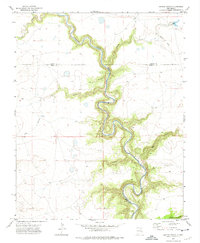
1972 · Jaritas Ranch
USGS Topo · 1:24,000

1974 · Point Of Rocks Mesa
USGS Topo · 1:24,000

1974 · Spear Hills
USGS Topo · 1:24,000
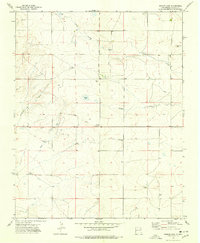
1974 · Ingram Lake
USGS Topo · 1:24,000