
1971 Map of Abbott Lake
USGS Topo · Published 1973About this map
Abbott Lake sits at the center of this high plains landscape on the border of Colfax and Harding Counties. The area is defined by the ephemeral drainages of Sauz Creek and Salado Creek, which cut through the terrain to the south and west. Evidence of early infrastructure is visible in the prominent Old Railroad Grade that traverses the northern half of the sheet, marking a legacy of former transport routes through this corner of New Mexico. In the northeast, the Johnson Cem provides a specific point of interest for genealogists tracing early families in the region. To the southwest, the topography drops into the Cañon Biscante, while localized industrial activity is noted at the Gravel Pits and a solitary Well near the lake, reflecting a landscape centered on ranching and resource extraction.
Find a feature on this map
9 named features on this map. Tap any name to fly to it.
Don’t see what you’re looking for? This feature index may not catch every label — zoom into the map to look around manually.
Map Details
Editions of this 1971 Abbott Lake Map
This is the sole edition of this map. No revisions or reprints were ever made.
Other maps of this area

1954 · Raton
USGS Topo · 1:250,000

1958 · Raton
USGS Topo · 1:250,000

1965 · Taylor Springs
USGS Topo · 1:24,000

1965 · Abbott
USGS Topo · 1:24,000

1972 · Canon Colorado
USGS Topo · 1:24,000
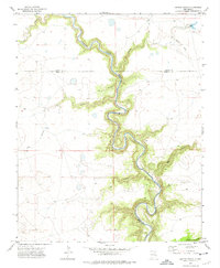
1972 · Jaritas Ranch
USGS Topo · 1:24,000

1972 · Mills West
USGS Topo · 1:24,000
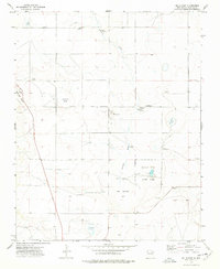
1974 · Mills East
USGS Topo · 1:24,000

1974 · Spear Hills
USGS Topo · 1:24,000
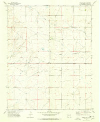
1974 · Ingram Lake
USGS Topo · 1:24,000