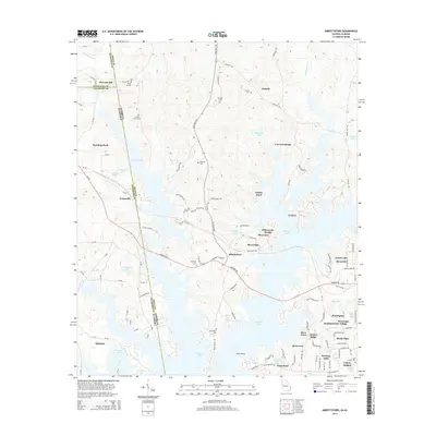
2014 Map of Abbottsford
USGS Topo · Published 2014About this map
W Point Lake dominates this landscape along the border of Georgia and Alabama, where its branching arms reach into the communities of Abbottsford and Riverview. The map documents a residential and recreational shoreline shaped by the reservoir, featuring newer developments like Whitewater Woods, Riverridge, and Heritage Hills. Despite the modern water level, older landmarks remain visible in the topography, including the historic site of McCosh Mill in the northwest and several family burial grounds such as Garrett Family Cem and Freeman Cem.
Find a feature on this map
122 named features on this map. Tap any name to fly to it.
Don’t see what you’re looking for? This feature index may not catch every label — zoom into the map to look around manually.
Map Details
Editions of this 2014 Abbottsford Map
This is the sole edition of this map. No revisions or reprints were ever made.
Other maps of this area

1899 · Wedowee
USGS Topo · 1:125,000

1902 · Wedowee
USGS Topo · 1:125,000

1907 · Opelika
USGS Topo · 1:125,000

1909 · Opelika
USGS Topo · 1:125,000

1953 · Atlanta
USGS Topo · 1:250,000

1955 · Phenix City
USGS Topo · 1:250,000

1957 · Phenix City
USGS Topo · 1:250,000

1957 · Atlanta
USGS Topo · 1:250,000

1958 · Phenix City
USGS Topo · 1:250,000

1958 · Atlanta
USGS Topo · 1:250,000