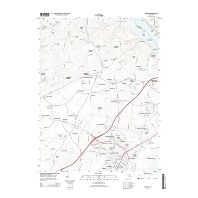
2014 Map of Aberdeen
USGS Topo · Published 2014About this map
Stoney Forest Lookout Tower stands as a prominent sentinel over the wooded terrain of Harford County in this 2014 record. The landscape is defined by the significant corridor of the Susquehanna River to the east, dotted with landforms like Steel Island and Robert Island. This area reflects a deep-rooted rural and industrial history, evidenced by the numerous milling sites such as Wilson Mill and Noble Mill along the northern reaches of Deer Creek.
Find a feature on this map
212 named features on this map. Tap any name to fly to it.
Don’t see what you’re looking for? This feature index may not catch every label — zoom into the map to look around manually.
Map Details
Editions of this 2014 Aberdeen Map
This is the sole edition of this map. No revisions or reprints were ever made.
Other maps of this area

1893 · Gunpowder
USGS Topo · 1:62,500

1898 · Tolchester
USGS Topo · 1:125,000

1900 · Havre De Grace
USGS Topo · 1:62,500

1900 · Betterton
USGS Topo · 1:62,500

1901 · Belair
USGS Topo · 1:62,500

1901 · Gunpowder
USGS Topo · 1:62,500

1903 · Tolchester
USGS Topo · 1:125,000

1908 · Tolchester
USGS Topo · 1:125,000

1941 · Gunpowder
USGS Topo · 1:62,500

1942 · Havre De Grace
USGS Topo · 1:62,500