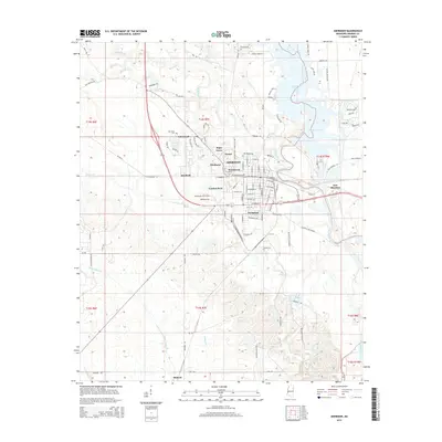
2015 Map of Aberdeen
USGS Topo · Published 2015About this map
Aberdeen serves as the focal point of this Monroe County landscape, situated along the western banks of the Tombigbee River. The river's influence is clear through the presence of Aberdeen Lake and the Weaver Cr Cutoff, which together create a complex aquatic environment east of the city center. Neighborhoods such as Woodcrest, Central Park, and Evergreen illustrate the residential expansion of the town, while East Aberdeen occupies the opposite shore.
Find a feature on this map
111 named features on this map. Tap any name to fly to it.
Don’t see what you’re looking for? This feature index may not catch every label — zoom into the map to look around manually.
Map Details
Editions of this 2015 Aberdeen Map
This is the sole edition of this map. No revisions or reprints were ever made.
Other maps of this area

1953 · West Point
USGS Topo · 1:250,000

1958 · West Point
USGS Topo · 1:250,000

1959 · West Point
USGS Topo · 1:62,500

1960 · Caledonia
USGS Topo · 1:62,500

1963 · West Point
USGS Topo · 1:250,000

1965 · Egypt
USGS Topo · 1:24,000

1966 · Aberdeen
USGS Topo · 1:24,000

1966 · Amory
USGS Topo · 1:24,000

1966 · Amory SW
USGS Topo · 1:24,000

1966 · Wren
USGS Topo · 1:24,000