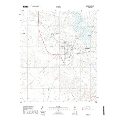
2020 Map of Aberdeen
USGS Topo · Published 2020About this map
Aberdeen serves as the focal point of this Mississippi landscape, anchored by the Monroe County Courthouse and the Monroe County Chancery Building. The settlement patterns here reflect a close relationship with the Tombigbee River, which winds along the eastern edge, creating a complex wetland environment seen in the Weaver Creek Cutoff and the broad reaches of Becker Bottom Rd. To the west, the landscape transitions into a network of creeks including Mattubby Cr and Hanging Kettle Cr.
Find a feature on this map
99 named features on this map. Tap any name to fly to it.
Don’t see what you’re looking for? This feature index may not catch every label — zoom into the map to look around manually.
Map Details
Editions of this 2020 Aberdeen Map
This is the sole edition of this map. No revisions or reprints were ever made.
Other maps of this area

1953 · West Point
USGS Topo · 1:250,000

1958 · West Point
USGS Topo · 1:250,000

1959 · West Point
USGS Topo · 1:62,500

1960 · Caledonia
USGS Topo · 1:62,500

1963 · West Point
USGS Topo · 1:250,000

1965 · Egypt
USGS Topo · 1:24,000

1966 · Aberdeen
USGS Topo · 1:24,000

1966 · Amory
USGS Topo · 1:24,000

1966 · Amory SW
USGS Topo · 1:24,000

1966 · Wren
USGS Topo · 1:24,000