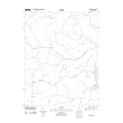
2011 Map of Aberdeen
USGS Topo · Published 2011About this map
Aberdeen and Norths Landing anchor this portion of the Ohio River valley, where the landscape transitions from flat riverbank to a series of prominent interior ridges. The survey captures a network of rural crossroads settlements, including Cofield Corner, Bascom Corner, and Hartford, which are connected by a winding web of ridge-top and valley roads such as Salem Ridge Rd and Stewart Ridge Rd. The terrain is deeply dissected by numerous watercourses like Arnold Creek and Grants Creek, creating a topography that historically dictated the placement of homesteads and small family burial grounds.
Find a feature on this map
66 named features on this map. Tap any name to fly to it.
Don’t see what you’re looking for? This feature index may not catch every label — zoom into the map to look around manually.
Map Details
Editions of this 2011 Aberdeen Map
This is the sole edition of this map. No revisions or reprints were ever made.
Other maps of this area

1915 · Lawrenceburg
USGS Topo · 1:48,000

1928 · Lawrenceburg
USGS Topo · 1:62,500

1932 · Lawrenceburg
USGS Topo · 1:62,500

1943 · Florence
USGS Topo · 1:24,000

1943 · Aberdeen
USGS Topo · 1:24,000

1943 · Aurora
USGS Topo · 1:24,000

1943 · Vevay North
USGS Topo · 1:24,000

1943 · Rising Sun
USGS Topo · 1:24,000

1943 · Lawrenceburg
USGS Topo · 1:24,000

1943 · Patriot
USGS Topo · 1:24,000