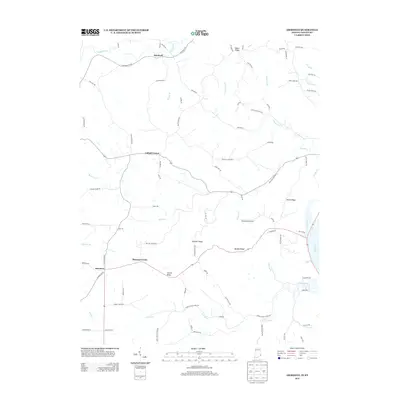
2013 Map of Aberdeen
USGS Topo · Published 2013About this map
The Ohio River forms the southeastern boundary of this terrain, where the landscape rises from the riverbanks into a series of prominent ridges. Settlement patterns in the early 21st century follow these elevations, with small communities like Aberdeen, Bascom Corner, and Cofield Corner situated along the high ground. The map reveals an intricate network of rural routes such as Hartford Pike Rd and Old State Hwy 262 that connect the upland farms and homes to the more established hamlet of Hartford near Laughery Cr.
Find a feature on this map
87 named features on this map. Tap any name to fly to it.
Don’t see what you’re looking for? This feature index may not catch every label — zoom into the map to look around manually.
Map Details
Editions of this 2013 Aberdeen Map
This is the sole edition of this map. No revisions or reprints were ever made.
Other maps of this area

1915 · Lawrenceburg
USGS Topo · 1:48,000

1928 · Lawrenceburg
USGS Topo · 1:62,500

1932 · Lawrenceburg
USGS Topo · 1:62,500

1943 · Florence
USGS Topo · 1:24,000

1943 · Aberdeen
USGS Topo · 1:24,000

1943 · Aurora
USGS Topo · 1:24,000

1943 · Vevay North
USGS Topo · 1:24,000

1943 · Rising Sun
USGS Topo · 1:24,000

1943 · Lawrenceburg
USGS Topo · 1:24,000

1943 · Patriot
USGS Topo · 1:24,000