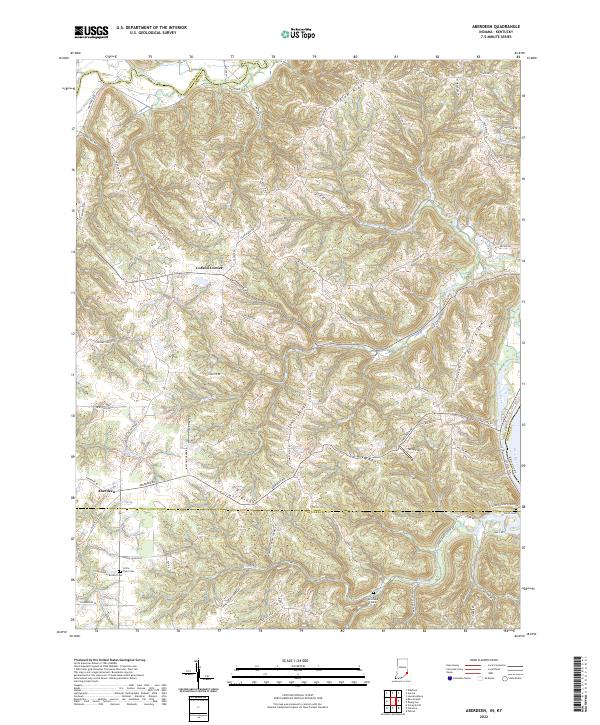
2022 Map of Aberdeen
USGS Topo · Published 2022About this map
Aberdeen and Cofield Corner occupy the high ground above the Ohio River in this detailed survey of the tri-county borderlands where Ohio and Switzerland counties meet Dearborn. The landscape is defined by its dramatic relief, with steep ravines carved by Arnold Creek, Grants Creek, and Laughery Creek dropping away from prominent uplands like Salem Ridge and Dutch Ridge.
Find a feature on this map
80 named features on this map. Tap any name to fly to it.
Don’t see what you’re looking for? This feature index may not catch every label — zoom into the map to look around manually.
Map Details
Editions of this 2022 Aberdeen Map
This is the sole edition of this map. No revisions or reprints were ever made.
Other maps of this area

1915 · Lawrenceburg
USGS Topo · 1:48,000

1928 · Lawrenceburg
USGS Topo · 1:62,500

1932 · Lawrenceburg
USGS Topo · 1:62,500

1943 · Florence
USGS Topo · 1:24,000

1943 · Aberdeen
USGS Topo · 1:24,000

1943 · Aurora
USGS Topo · 1:24,000

1943 · Vevay North
USGS Topo · 1:24,000

1943 · Rising Sun
USGS Topo · 1:24,000

1943 · Lawrenceburg
USGS Topo · 1:24,000

1943 · Patriot
USGS Topo · 1:24,000