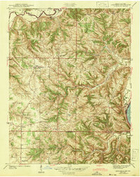
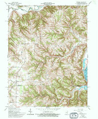
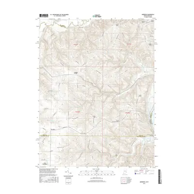
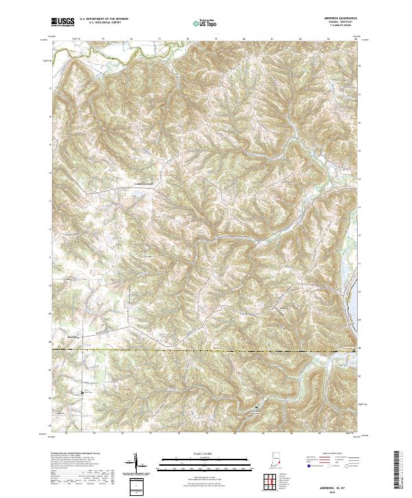
1943 Map of Aberdeen
USGS Topo · Published 1943About this map
The Ohio River forms the eastern edge of this 1940s landscape where the borders of Dearborn, Ohio, and Switzerland counties meet. The interior is defined by a dense network of country schools and churches that served small agrarian communities like Aberdeen and Hartford. Educational hubs such as Halls Mill Sch and East Enterprise Sch are scattered among the ridges and valleys of Randolph and Buckeye townships. Family history is well-preserved through numerous burial grounds, including the Gillespie Cem and Bovard Cem.
Find a feature on this map
43 named features on this map. Tap any name to fly to it.
Don’t see what you’re looking for? This feature index may not catch every label — zoom into the map to look around manually.
Map Details
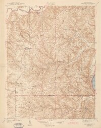
Editions of this 1943 Aberdeen Map
2 editions found
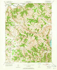
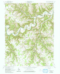
Historical Maps of Hartford Through Time
14 maps found
1943 Aberdeen
Ohio County, IN
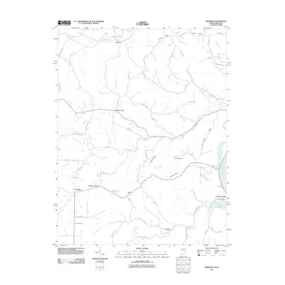
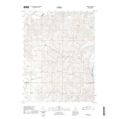
1953 Aberdeen
Ohio County, IN
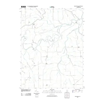
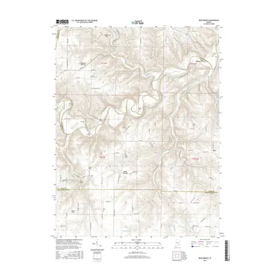
1959 Bear Branch
Ohio County, IN
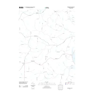
1965 Aberdeen
Ohio County, IN
2010 Bear Branch
Ohio County, IN
2011 Aberdeen
Ohio County, IN
2013 Aberdeen
Ohio County, IN
2013 Bear Branch
Ohio County, IN
2016 Aberdeen
Ohio County, IN
2016 Bear Branch
Ohio County, IN
2019 Aberdeen
Ohio County, IN
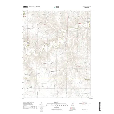
2019 Bear Branch
Ohio County, IN
2022 Aberdeen
Ohio County, IN
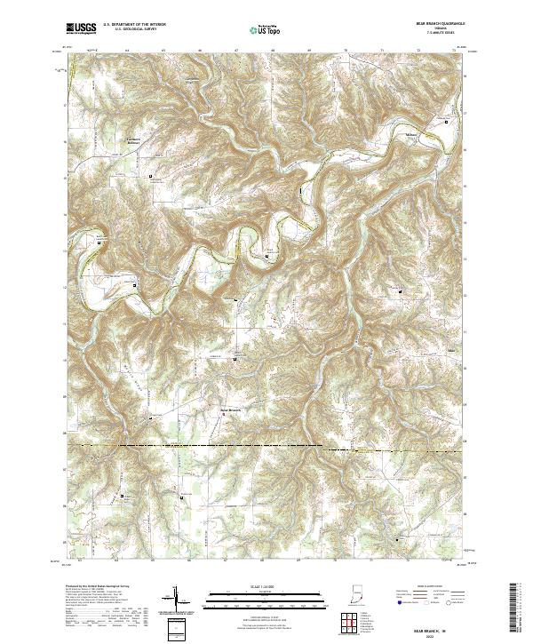
2022 Bear Branch
Ohio County, IN