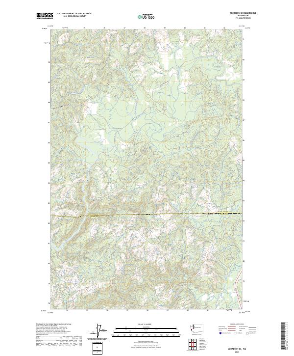
2023 Map of Aberdeen SE
USGS Topo · Published 2023About this map
The North River Divide dominates this portion of the coastal range, serving as a significant geographical boundary between the drainages of the North River and the South Fork Johns River. The landscape is defined by its complex network of watercourses, including Lower Salmon Creek and East Fork North River, which carve through the timbered terrain. This area, straddling the line between Grays Harbor Co and Pacific Co, shows a pattern of industrial and rural land use typical of the Pacific Northwest hinterlands. Roads like American Mill Rd and Lund Rd provide access to these remote watersheds, while family or locality-named features such as Smith Creek and Eagle Creek offer specific points of reference for those researching local geography or land ownership in the 2020s.
Find a feature on this map
21 named features on this map. Tap any name to fly to it.
Don’t see what you’re looking for? This feature index may not catch every label — zoom into the map to look around manually.
Map Details
Editions of this 2023 Aberdeen SE Map
This is the sole edition of this map. No revisions or reprints were ever made.
Other maps of this area

1938 · South Bend
USGS Topo · 1:62,500

1940 · Montesano
USGS Topo · 1:62,500

1940 · South Bend
USGS Topo · 1:62,500

1953 · Hoquiam
USGS Topo · 1:250,000

1955 · Montesano
USGS Topo · 1:62,500

1955 · Raymond
USGS Topo · 1:62,500

1955 · Aberdeen SE
USGS Topo · 1:24,000

1956 · Western
USGS Topo · 1:24,000

1957 · Hoquiam
USGS Topo · 1:250,000
1957 · Bay Center
USGS Topo · 1:24,000