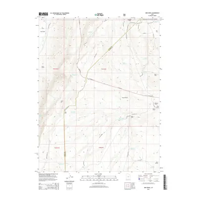
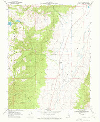
2014 Map of Abes Knoll
USGS Topo · Published 2014About this map
The high plateau country of south-central Utah is meticulously detailed here, defined by the transition between the Fishlake National Forest and the Awapa Plateau. This 2014 survey documents a landscape heavily managed for water resources, featuring a series of catchments and tanks such as Fish Lake Reservoir, Windy Ridge Reservoir, and Eightmile Reservoir. The terrain is marked by distinctive volcanic and erosional features, including Abes Knoll, the rising face of Parker Mtn, and the dark basaltic stretch of Black Point.
Find a feature on this map
48 named features on this map. Tap any name to fly to it.
Don’t see what you’re looking for? This feature index may not catch every label — zoom into the map to look around manually.
Map Details
Editions of this 2014 Abes Knoll Map
This is the sole edition of this map. No revisions or reprints were ever made.
Other maps of this area

1885 · Fish Lake
USGS Topo · 1:250,000

1896 · Fish Lake
USGS Topo · 1:250,000

1956 · Salina
USGS Topo · 1:250,000

1960 · Salina
USGS Topo · 1:250,000

1962 · Salina
USGS Topo · 1:250,000

1968 · Fish Lake
USGS Topo · 1:24,000
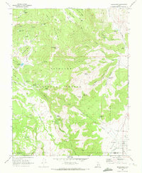
1968 · Koosharem
USGS Topo · 1:24,000
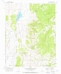
1968 · Burrville
USGS Topo · 1:24,000
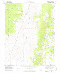
1969 · Parker Knoll
USGS Topo · 1:24,000
1969 · Greenwich
USGS Topo · 1:24,000