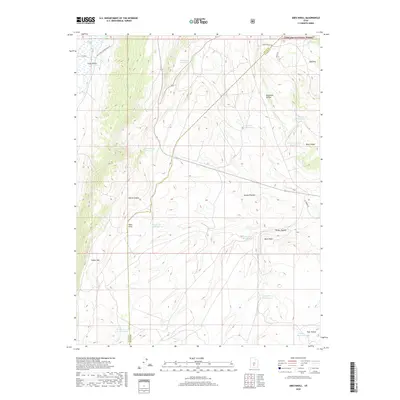
2020 Map of Abes Knoll
USGS Topo · Published 2020About this map
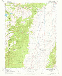
Fishlake National Forest encompasses the high country of this quadrangle, where the boundary between Piute and Wayne Counties cuts diagonally across a landscape dominated by the Awapa Plateau. The area is defined by its extensive water management system, featuring numerous small-scale upland storage basins including Fish Lake Reservoir, Windy Ridge Reservoir, and Deadman Hollow Reservoir. These reservoirs, scattered across the slopes of Parker Mtn and Abes Knoll, suggest a legacy of ranching and high-altitude water conservation essential for the arid climate. The topography transitions from the low-lying Grass Valley and Otter Creek in the northwest to the dramatic heights of Black Ridge. Traceable routes such as N Old Red Schoolhouse Rd and the TV Tower Rd provide access through the rugged canyons of Hatch Canyon and Parker Hollow.
Find a feature on this map
28 named features on this map. Tap any name to fly to it.
Don’t see what you’re looking for? This feature index may not catch every label — zoom into the map to look around manually.
Map Details
Editions of this 2020 Abes Knoll Map
This is the sole edition of this map. No revisions or reprints were ever made.
Other maps of this area

1885 · Fish Lake
USGS Topo · 1:250,000

1896 · Fish Lake
USGS Topo · 1:250,000

1956 · Salina
USGS Topo · 1:250,000

1960 · Salina
USGS Topo · 1:250,000

1962 · Salina
USGS Topo · 1:250,000

1968 · Fish Lake
USGS Topo · 1:24,000
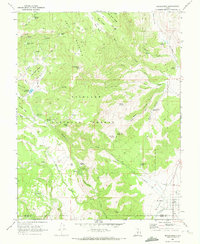
1968 · Koosharem
USGS Topo · 1:24,000
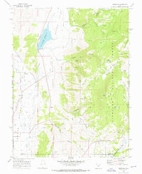
1968 · Burrville
USGS Topo · 1:24,000
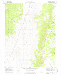
1969 · Parker Knoll
USGS Topo · 1:24,000
1969 · Greenwich
USGS Topo · 1:24,000