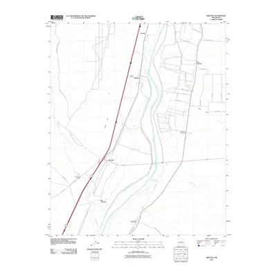
2010 Map of Abeytas
USGS Topo · Published 2010About this map
Rio Grande and Rio Puerco river systems dominate this Socorro County landscape, shaping a network of traditional agricultural acequias and drains. The convergence of these watercourses created a fertile corridor for several centuries-old settlements, including Sabinal, Abeytas, and Las Nutrias. The engineering of the valley is evident in the extensive irrigation infrastructure, such as the San Juan Ditch, Belen Grant Lateral Number One, and the San Francisco Riverside Drain, which crisscross the lowlands between the rivers and the western rise of Picho Hill.
Find a feature on this map
43 named features on this map. Tap any name to fly to it.
Don’t see what you’re looking for? This feature index may not catch every label — zoom into the map to look around manually.
Map Details
Editions of this 2010 Abeytas Map
This is the sole edition of this map. No revisions or reprints were ever made.
Other maps of this area

1916 · La Joya
USGS Topo · 1:125,000

1952 · La Joya NW
USGS Topo · 1:24,000

1952 · San Anacia
USGS Topo · 1:24,000

1952 · Belen SW
USGS Topo · 1:24,000

1952 · Black Butte
USGS Topo · 1:24,000

1952 · La Joya
USGS Topo · 1:24,000

1952 · Turn
USGS Topo · 1:24,000

1952 · Veguita
USGS Topo · 1:24,000

1952 · Becker SW
USGS Topo · 1:24,000

1952 · Abeytas
USGS Topo · 1:24,000