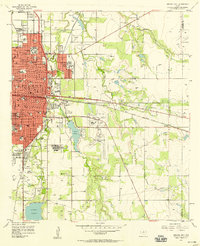
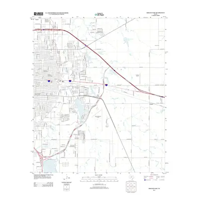
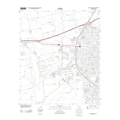
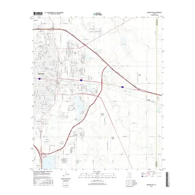
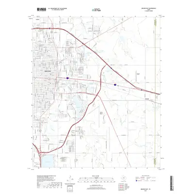
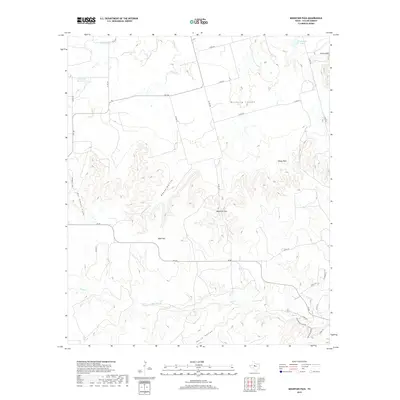
1957 Map of Abilene East
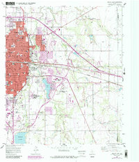
USGS Topo · Published 1987About this map
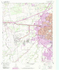
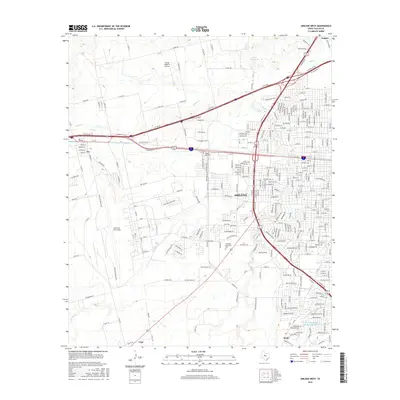
Hardin-Simmons University and Abilene Christian College anchor the northern expansion of Abilene during this mid-century period of growth. The map illustrates a dense institutional landscape including the Abilene State Hospital, McMurry College, and the Hendrick Home for Children. To the east, the rural character persists near the settlement of Elmdale, where the Missouri Pacific railroad cuts across the prairie towards the Taylor and Callahan County line.
Find a feature on this map
45 named features on this map. Tap any name to fly to it.
Don’t see what you’re looking for? This feature index may not catch every label — zoom into the map to look around manually.
Map Details
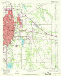
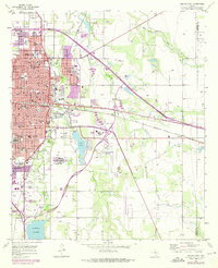
Editions of this 1957 Abilene East Map
4 editions found
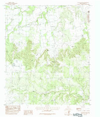
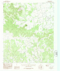
Historical Maps of Abilene Through Time
48 maps found
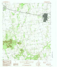
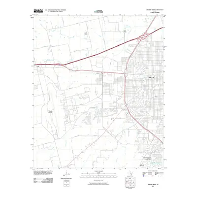
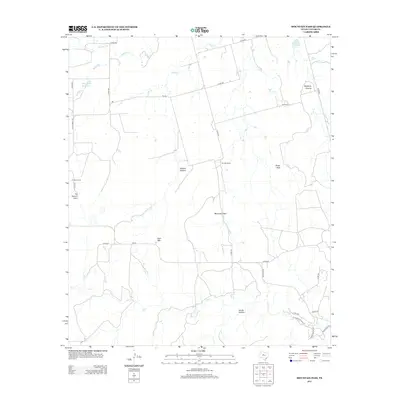
1957 Abilene East
Taylor County, TX
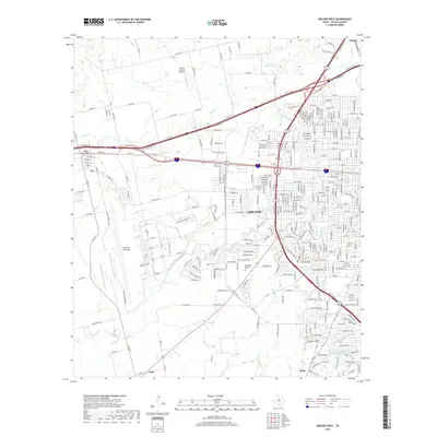
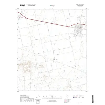
1957 Abilene West
Taylor County, TX
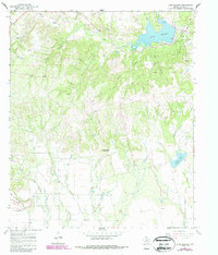
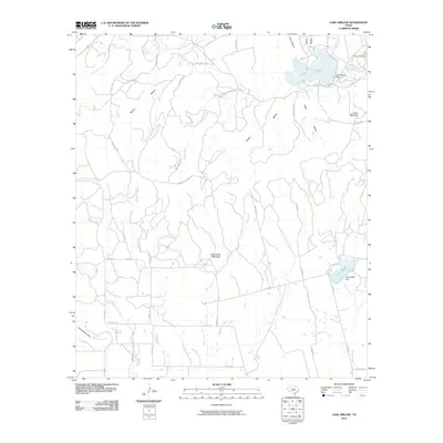
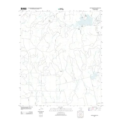
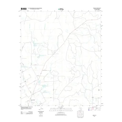
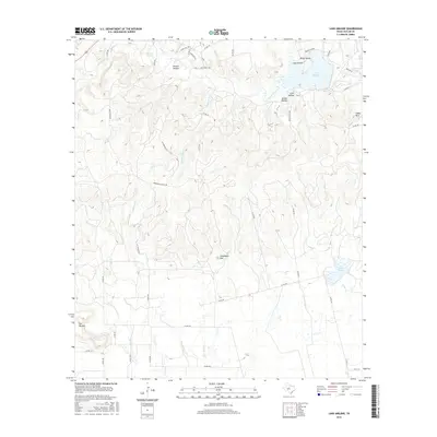
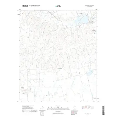
1967 Lake Abilene
Taylor County, TX
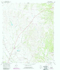
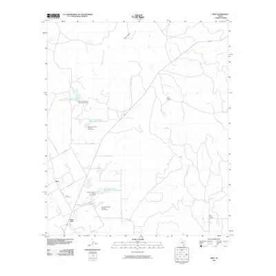
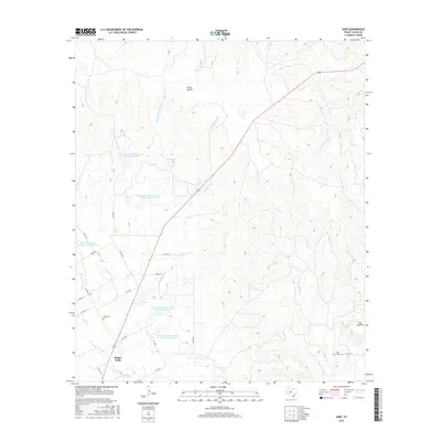
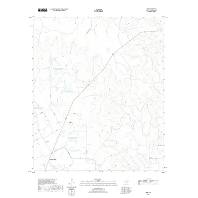
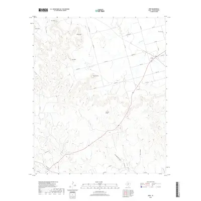
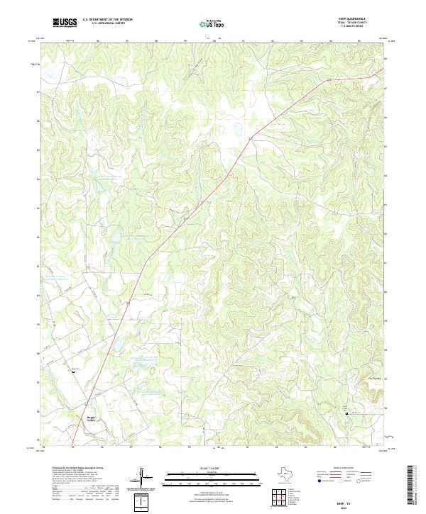
1967 Shep
Taylor County, TX
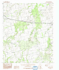
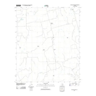
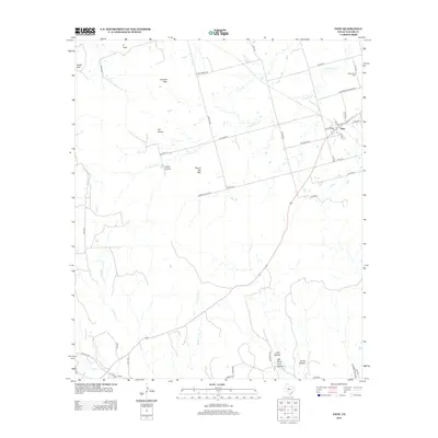
1984 Merkel East
Taylor County, TX
1984 Merkel West
Taylor County, TX
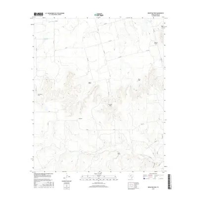
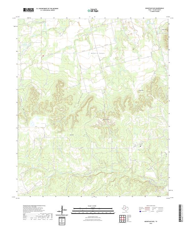
1984 Mountain Pass
Taylor County, TX
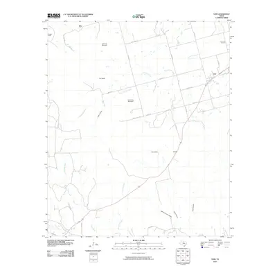
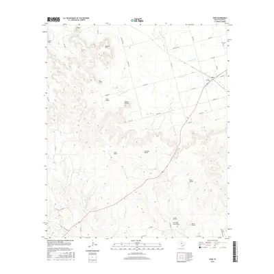
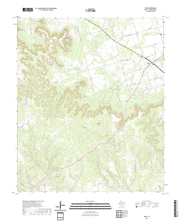
1984 View
Taylor County, TX
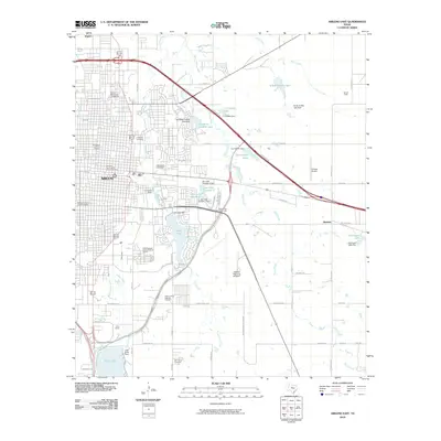
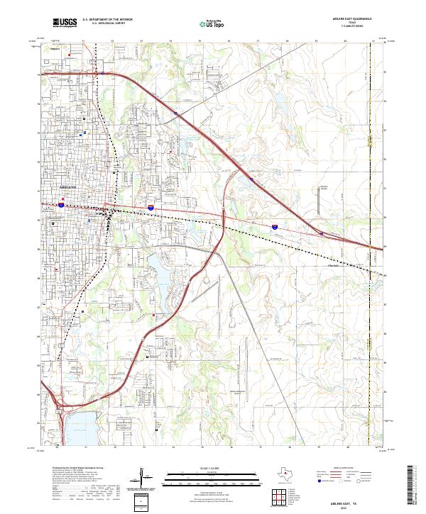
2010 Abilene East
Taylor County, TX
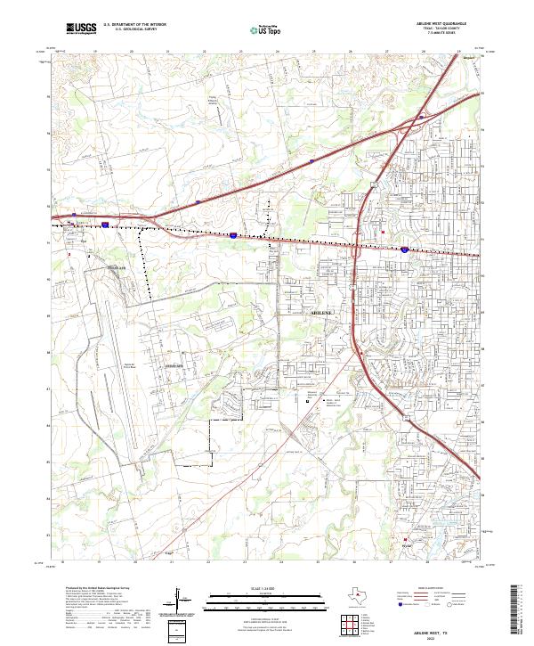
2010 Abilene West
Taylor County, TX
2010 Lake Abilene
Taylor County, TX
2010 Merkel East
Taylor County, TX
2010 Merkel West
Taylor County, TX
2010 Mountain Pass
Taylor County, TX
2010 Shep
Taylor County, TX
2010 View
Taylor County, TX
2012 Abilene East
Taylor County, TX
2012 Abilene West
Taylor County, TX
2012 Lake Abilene
Taylor County, TX
2012 Merkel East
Taylor County, TX
2012 Merkel West
Taylor County, TX
2012 Mountain Pass
Taylor County, TX
2012 Shep
Taylor County, TX
2012 View
Taylor County, TX
2016 Abilene East
Taylor County, TX
2016 Abilene West
Taylor County, TX
2016 Lake Abilene
Taylor County, TX
2016 Merkel East
Taylor County, TX
2016 Merkel West
Taylor County, TX
2016 Mountain Pass
Taylor County, TX
2016 Shep
Taylor County, TX
2016 View
Taylor County, TX
2019 Abilene East
Taylor County, TX
2019 Abilene West
Taylor County, TX
2019 Lake Abilene
Taylor County, TX
2019 Merkel East
Taylor County, TX
2019 Merkel West
Taylor County, TX
2019 Mountain Pass
Taylor County, TX
2019 Shep
Taylor County, TX
2019 View
Taylor County, TX
2022 Abilene East
Taylor County, TX
2022 Abilene West
Taylor County, TX
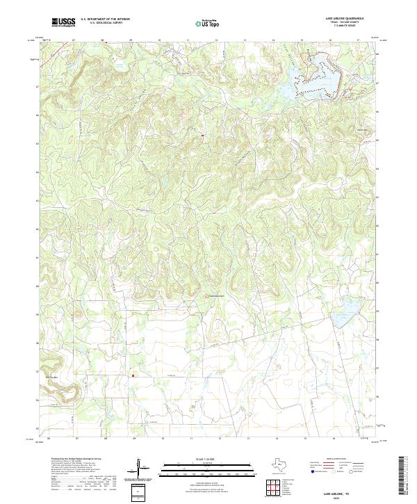
2022 Lake Abilene
Taylor County, TX
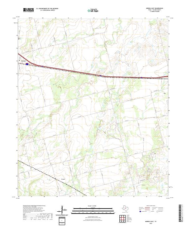
2022 Merkel East
Taylor County, TX
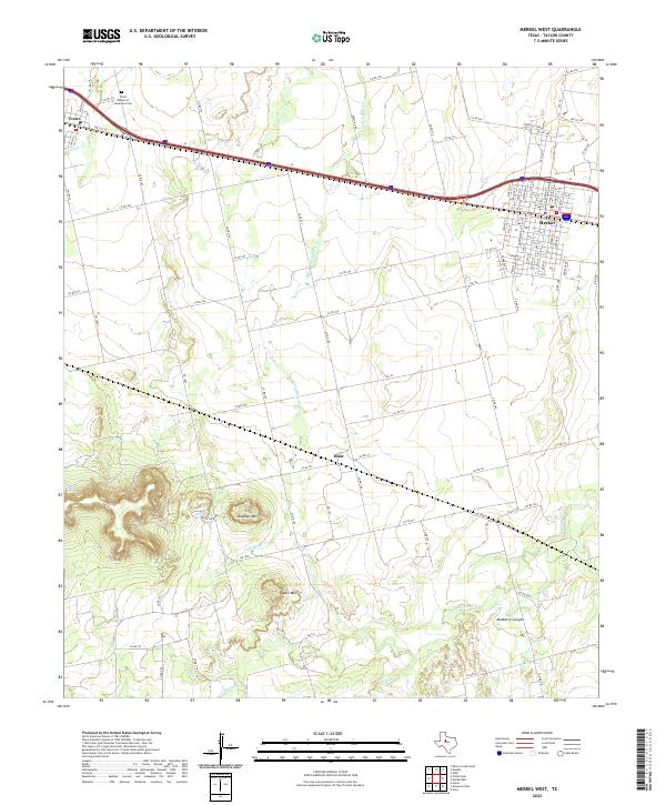
2022 Merkel West
Taylor County, TX
2022 Mountain Pass
Taylor County, TX
2022 Shep
Taylor County, TX
2022 View
Taylor County, TX