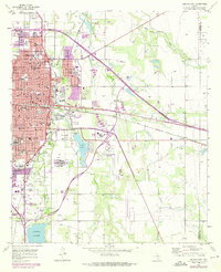
1957 Map of Abilene East
USGS Topo · Published 1975About this map
Abilene stands at a crossroads of higher education and institutional care in the mid-20th century, dominated by the campuses of Hardin-Simmons University, Abilene Christian College, and McMurry College. The eastern edge of the city is defined by the sprawling complex of the Abilene State Hospital and its associated Abilene State Hospital Cem, while the industrial and transportation corridor follows the Texas and Pacific and Denver railroad lines. To the south and east, the landscape transitions from urban grid to open ranchland and oil fields, anchored by Lytle Lake and the significant basin of Kirby Lake. Aviation history is well-represented by the Abilene Municipal Airport and the smaller Elmdale Airpark near the community of Elmdale. Notable local landmarks like the Hendrick Home for Children and the West Texas Fairground highlight the civic development of Taylor County during this era of post-war expansion.
Find a feature on this map
66 named features on this map. Tap any name to fly to it.
Don’t see what you’re looking for? This feature index may not catch every label — zoom into the map to look around manually.
Map Details
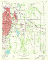
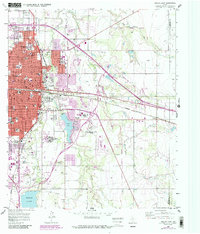
Editions of this 1957 Abilene East Map
4 editions found
Other maps of this area

1890 · Abilene
USGS Topo · 1:125,000

1891 · Anson
USGS Topo · 1:125,000

1892 · Abilene
USGS Topo · 1:125,000

1893 · Anson
USGS Topo · 1:125,000

1954 · Abilene
USGS Topo · 1:250,000

1957 · Hawley
USGS Topo · 1:62,500

1957 · Kirby Lake
USGS Topo · 1:62,500

1957 · Abilene West
USGS Topo · 1:24,000

1957 · Abilene East
USGS Topo · 1:24,000

1957 · Nugent
USGS Topo · 1:62,500